|
|

|
|
CarmarthenshireCounty
|
|
|
|
Sites/Groups in this region:
|
2 posts
Allt Cunedda Round Barrow(s) |
10 posts
Banc Maes-yr-haidd Cairn(s) |
32 posts
Bannau Sir Gaer Stone Circle |
|
3 posts
Berrisbrook Standing Stones |
1 post
Blaennantrhys Cairn(s) |
17 posts
Bryn-Poeth-Uchaf North Ring Cairn |
|
1 post
Bryn-y-Rhyd Standing Stone / Menhir |
1 post
Bryn Maen, Llannon Standing Stone / Menhir |
8 posts
Bryn Mawr Cairn(s) |
|
21 posts
Bryn Poeth Uchaf South Ring Cairn |
1 post
Bwlch Y Seiri Enclosure |
2 posts
Caerau Clyngwyn Hillfort |
|
5 posts
Careg Fawr Standing Stone / Menhir |
1 post
Carmel Cairn(s) |
39 posts
Carnau'r Garreg Las Cairn(s) |
|
14 posts
Carn-y-Gigfran Round Cairn |
2 posts
Carn Fadog and Nant-y-Llyn Cairn(s) |
12 posts
Carn Fawr (Cynwyl Gaeo) Round Cairn |
|
3 sites
Carn Goch area |
17 posts
Carn Pen-y-Clogau Round Cairn |
19 posts
Carn Pen Rhiw-ddu Round Cairn |
|
7 posts
Carn Twrch Round Cairn |
2 posts
Carn Wen Cairn(s) |
11 posts
Carn Wen (Cynwyl Gaeo) Round Cairn |
|
7 posts
Carreg Castell-y-Gwynt Burial Chamber |
36 posts
Carreg Cennen Sacred Well |
2 posts
Carreg Fyrddin Standing Stone / Menhir |
|
19 posts
Carreg Garn Fawr Standing Stone / Menhir |
1 post
Carreg Wen Standing Stone / Menhir |
3 posts
Castell Cogan Enclosure |
|
5 posts
Castell Twby, Mynydd Llangyndeyrn Standing Stone / Menhir |
2 posts
Castell Y Gaer Hillfort |
4 posts
Cefn Brafle Standing Stones |
|
3 posts
Cefn Gwenffrwd Standing Stone / Menhir |
15 posts
3 sites Cefn Gwernffrwd Complex Stone Circle |
10 posts
Cefn Pal Hillfort, Cynghordy Hillfort |
|
Cencoed
Promontory Fort
|
9 posts
Cerrig Cewri Round Cairn |
24 posts
Cerrig Cynant Stone Circle |
|
6 posts
Cerrig Llwydion Burial Chamber |
2 posts
Cilgwyn Standing Stone / Menhir |
4 posts
Coygen Camp Promontory Fort |
|
2 posts
Craig Gwrtheyrn Hillfort |
2 posts
Craig Llwyd and Court Wood Enclosure |
10 posts
1 site Craig Twrch (Cynwyl Gaeo) Barrow / Cairn Cemetery |
|
1 post
Croes Arthur Hillfort |
1 post
Cross Hands Round Barrow(s) |
9 posts
Crugiau Edryd, Mynydd Llanybyther Barrow / Cairn Cemetery |
|
3 posts
Crugiau Fach Round Barrow(s) |
1 post
Crugiau Garn Fawr Barrow / Cairn Cemetery |
14 posts
Crugiau Giar Cairn(s) |
|
4 posts
Crugiau (Horeb) Barrow / Cairn Cemetery |
22 posts
Crugiau Merched Cairn(s) |
5 posts
Crugiau Rhos-Wen (North West) Round Barrow(s) |
|
5 posts
Crugiau Rhos-Wen (South East) Round Barrow(s) |
9 posts
Crug-y-Bedw Round Cairn |
7 posts
Crug-y-Bwdran Round Cairn |
|
8 posts
Crugyn Amlwg, Mynydd Tre-beddau Round Barrow(s) |
Crug-y-Rhyd-Hir
Cairn(s)
|
1 post
Crug Banc Round Barrow(s) |
|
1 post
Crug Bwlch Bychan Cairn(s) |
5 posts
Crug Canol Round Cairn |
11 posts
Crug Melyn Round Cairn |
|
5 posts
Crug Penheol, Mynydd Llanfihangel Rhos-y-corn Cairn(s) |
10 posts
Crug Siarls Stone Circle |
8 posts
Crug y Biswal Round Cairn |
|
2 posts
Cwm Garw Ancient Village / Settlement / Misc. Earthwork |
4 posts
Cwm Melyn Ancient Village / Settlement / Misc. Earthwork |
5 posts
Cwm Melyn Cairn Cairn(s) |
|
1 post
Cwn Bran camp Enclosure |
11 posts
Cylchau Cairn(s) |
3 posts
Eithin Fach Round Barrow(s) |
|
11 posts
Esgair Fraith (Cynwyl Gaeo) Cairn(s) |
45 posts
Fan Foel Cairn(s) |
5 posts
Ffosymaen Standing Stone / Menhir |
|
11 posts
Ffynnon Newydd Henge Henge |
7 posts
Foel Darw, Y Mynydd Du Round Cairn |
7 posts
Foel Deg ar Bedol Round Cairn |
|
7 posts
Gareg Hir Standing Stone / Menhir |
5 posts
Garreg Fawr, Peneelli Standing Stone / Menhir |
31 posts
Garreg Lwyd Round Cairn |
|
1 post
Garreg Lwyd Standing Stone / Menhir |
9 posts
Gelli Burial Chamber |
13 posts
Gilman Camp Hillfort |
|
7 posts
Glan-y-Mor Enclosure |
2 posts
Gron Gaer Hillfort |
43 posts
Gwal-y-Filiast Burial Chamber |
|
11 posts
Gwempa Standing Stone / Menhir |
18 posts
Hirfaen Gwyddog Standing Stone / Menhir |
12 posts
Is-coed Standing Stone / Menhir |
|
2 posts
Llain-Y-College Standing Stone / Menhir |
20 posts
Llansteffan Castle Hillfort |
8 posts
Llech Ciste Stone Row / Alignment |
|
Lower Court
Standing Stone / Menhir
|
1 post
Maenau Llwydion (Llangain) Standing Stones |
4 posts
Maen Bach Standing Stone / Menhir |
|
3 posts
Maen Hir Standing Stone / Menhir |
1 post
Maen Llwyd (Cilgaden) Standing Stone / Menhir (Destroyed) |
8 posts
Maen Llwyd (Llandyfaelog) Standing Stone / Menhir |
|
4 posts
Maen Llwyd (Llangendeirne) Standing Stone / Menhir |
2 posts
Maen Melyn Standing Stone / Menhir |
12 posts
Meinillwydion (Llandyfaelog) Standing Stones |
|
6 posts
Meini Gwyn Standing Stones |
2 posts
Meini Hirion (Kidwelly) Standing Stone / Menhir |
14 posts
Meini Llwydion (Llangynog) Standing Stones |
|
7 posts
Meini Llwydion (Llwyn Du) Dolmen / Quoit / Cromlech |
19 posts
Merlin's Hill Hillfort |
26 posts
Morfa Bychan Chambered Cairn |
|
17 posts
Mynydd Llangynderyrn Burial Chambers Burial Chamber |
19 posts
Mynydd Llangyndeyrn Cairn(s) |
6 posts
Mynydd Llangyndeyrn (Clos-yr-Yn) Cist |
|
12 posts
Mynydd Pen-y-Fal (Sugar Loaf) Hillfort |
8 posts
Myrddins Quoit Dolmen / Quoit / Cromlech |
8 posts
Nant Gwyn (Llanfair-ar-y-Bryn) Round Cairn |
|
1 post
Nolais Round Barrow(s) |
13 posts
Pant-y-Turnor Standing Stone / Menhir |
18 posts
Pant Meddygon Standing Stones |
|
4 posts
Parc Garreg Lwyd Standing Stone / Menhir |
8 posts
Pentre Ynys Standing Stone / Menhir |
2 posts
Pen-Y-Ddinas Hillfort |
|
8 posts
Pen-y-gaer Hillfort |
1 post
Pen-yr-Heol Round Barrow(s) |
32 posts
Picws Du, Y Mynydd Du Round Cairn |
|
1 post
Pleasant View Round Barrow(s) |
3 posts
Poppy Stone Standing Stone / Menhir |
3 posts
Pystyll Gwyn Standing Stone / Menhir |
|
5 posts
Rhyd-y-Fwyalchen Standing Stone / Menhir |
2 posts
Stradey Wood Hillfort |
5 posts
Sythfaen Standing Stone / Menhir |
|
20 posts
Tair Carn Isaf Barrow / Cairn Cemetery |
31 posts
Tair Carn Uchaf Barrow / Cairn Cemetery |
12 posts
Tomen-y-Rhos Round Cairn |
|
5 posts
Top Castle Hillfort |
12 posts
Trichrug Cairn(s) |
20 posts
Twlc y Filiast Dolmen / Quoit / Cromlech |
|
7 posts
Ty Newydd Standing Stone / Menhir |
1 post
Y Fan Hillfort |
2 posts
Y Gaer (Burry Port) Hillfort |
|
5 posts
Y Garreg Goch Standing Stones |
Y Naw Carreg
Stone Circle
|
Sites of disputed antiquity:
|
4 posts
Carreg Pumsaint Standing Stone / Menhir |
23 posts
Carreg y Bwci Round Barrow(s) |
4 posts
Dolaucothi Gold Mines Ancient Mine / Quarry |
|
5 posts
Morfa Bychan long cairn Long Cairn |
4 posts
St Canna's Stone Natural Rock Feature |
4 posts
Ty Newydd Stone Row Stone Row / Alignment |
News |
|
|
Treasure find of Bronze Age axes and spears from 1,000 BC A Bronze Age hoard of axes, spear and bracelet fragments dating back to about 1,000 BC have been declared treasure. More info : https://www.bbc.co.uk/news/uk-wales-61632636 |
31st May 2022ce |
Latest posts for Carmarthenshire |
Showing 1-10 of 1,280 posts. Most recent first | Next 10 
Gwal-y-Filiast (Burial Chamber) — Folklore |
|
This prehistoric monument sits below the village of Llanglydwen in Carmarthenshire. Situated on an ancient path in a secluded forest, its huge capstone points towards the nearby river Taf, which you can hear flowing below the trees. An old Welsh tale set during the days of King Arthur tells of Ceridwen and Taleisin. Welsh poetry refers to the goddess of transformation, rebirth and inspiration – Ceridwen - as possessing the cauldron of “poetic inspiration”, called Awen. This legendary story tells that Ceridwen set to brew in her magical cauldron, a mixture that would grant the gift of wisdom and poetic inspiration, Awen, for her son Morfran. The mixture was to be boiled for a year and a day. One day when the brew was almost finished, her young servant Gwion Bach was stirring the concoction and three drops of the liquid splashed onto his thumb. He instinctively put his thumb to his mouth and gained the wisdom and knowledge that Ceridwen had intended for her son. In his fear of Ceridwens anger, Gwion fled.. with Ceridwen chasing after him. We have a video covering the folklore and history of this site and the name on our Youtube.. https://youtu.be/OZBEWy9Zum4?si=1Xl4tWr8hhV0E_qd |
Posted by CoralJackz 27th February 2024ce |
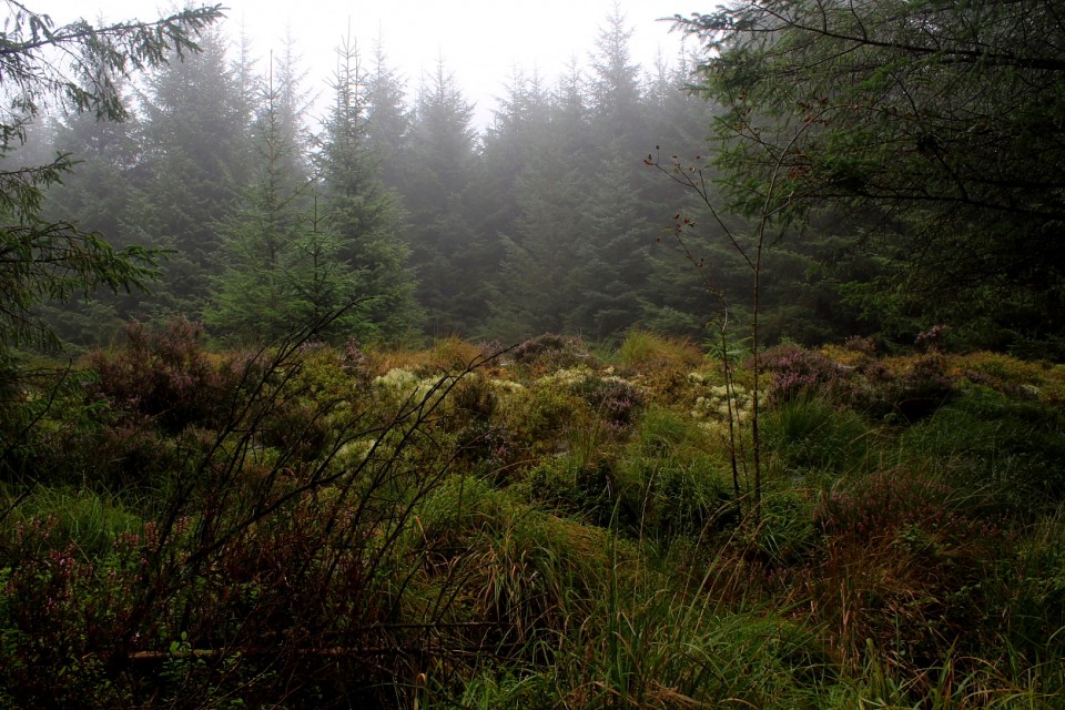
Crugiau Rhos-Wen (North West) (Round Barrow(s)) — Links |
Crugiau Rhos-WenCome with me, into the trees.... Yeah, find 'em if you can. |
 Posted by GLADMAN
23rd December 2023ce |
Crug Melyn (Round Cairn) — Links |
Crug Melyn, Crug Canol and Mynydd Bach Common, HorebEasily by-passed. I'd recommend that, given the opportunity, members tarry awhile... |
Posted by GLADMAN 18th December 2023ce |
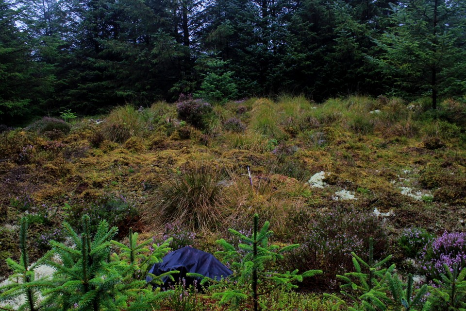
Craig Twrch (Cynwyl Gaeo) (Barrow / Cairn Cemetery) — Images (click to view fullsize) |
|
Posted by GLADMAN 9th December 2023ce |
Carreg y Bwci (Round Barrow(s)) — Images |
|
Posted by GLADMAN 9th December 2023ce |
Nant Gwyn (Llanfair-ar-y-Bryn) (Round Cairn) — Links |
Garn Fawr (Nant Gwyn) near RhandirmwynBig Cairn? You're not wrong. |
Posted by GLADMAN 24th November 2023ce Edited 9th December 2023ce |
Crugiau Rhos-Wen (South East) (Round Barrow(s)) — Images |
  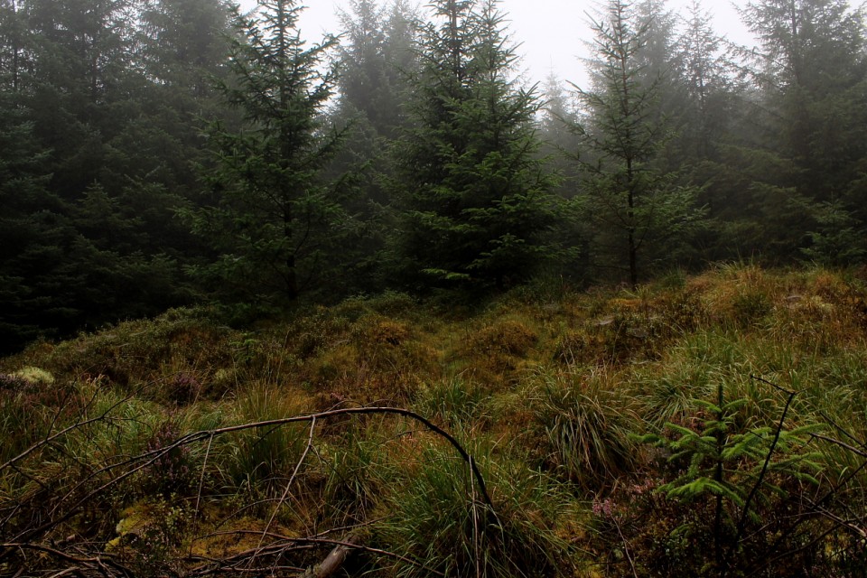 
|
Posted by GLADMAN 16th November 2023ce |
Showing 1-10 of 1,280 posts. Most recent first | Next 10