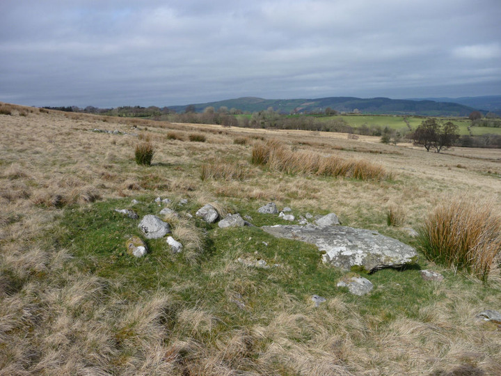
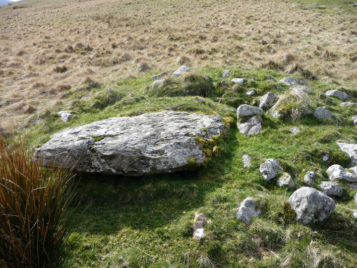
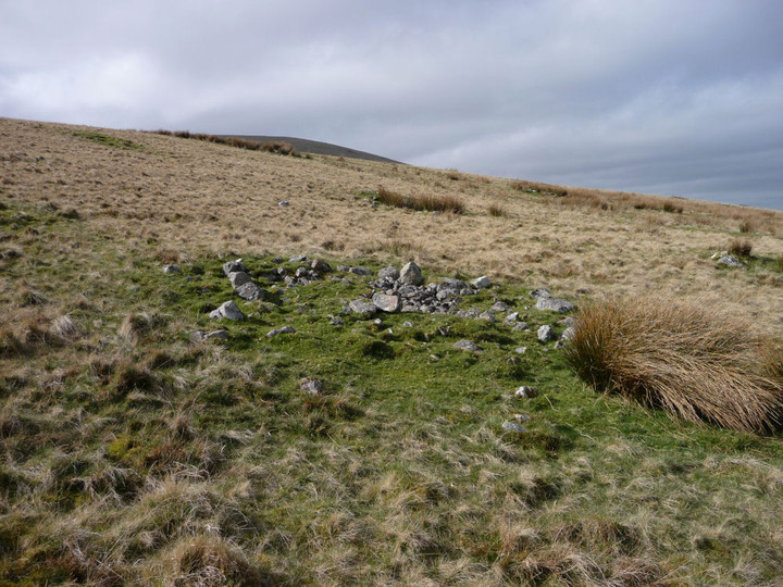
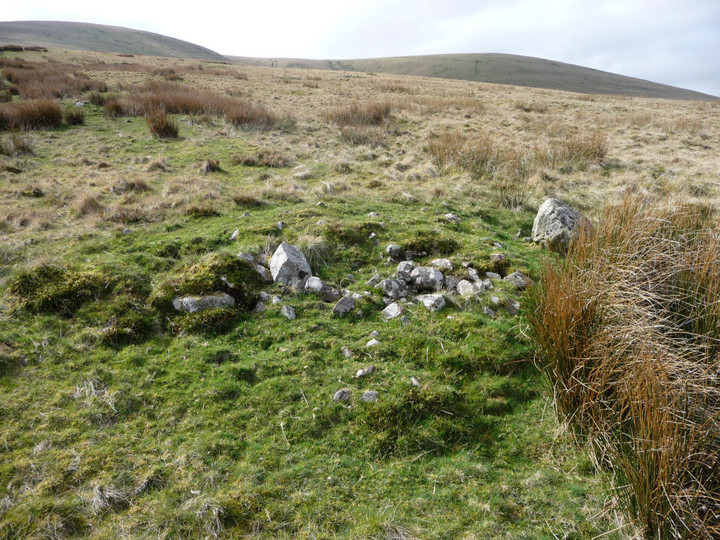
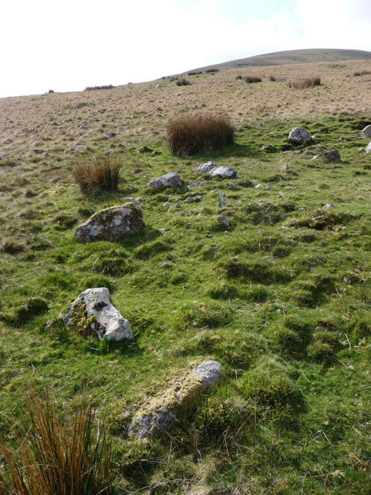
The OS 1/25000 shows three distinct cairns here. There are certainly more than that, but Coflein's 37 includes plenty that aren't obviously visible. However, at least two of the cairns are more interesting than Coflein's descriptions would have you believe.
One appears to be a ring cairn (or at least denuded kerbed cairn), with a very clear arc of boulders on its eastern side. Another is built around a large slab (presumably natural).
Coflein description:
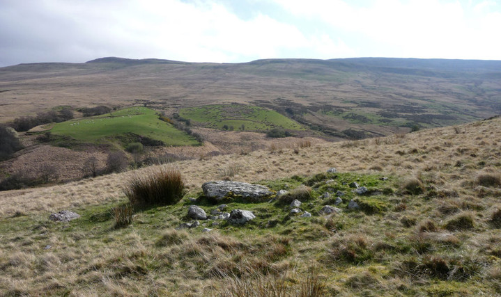
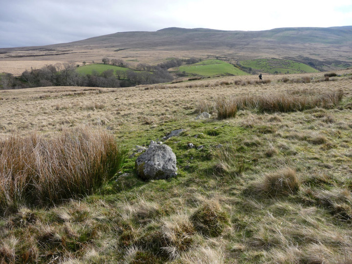
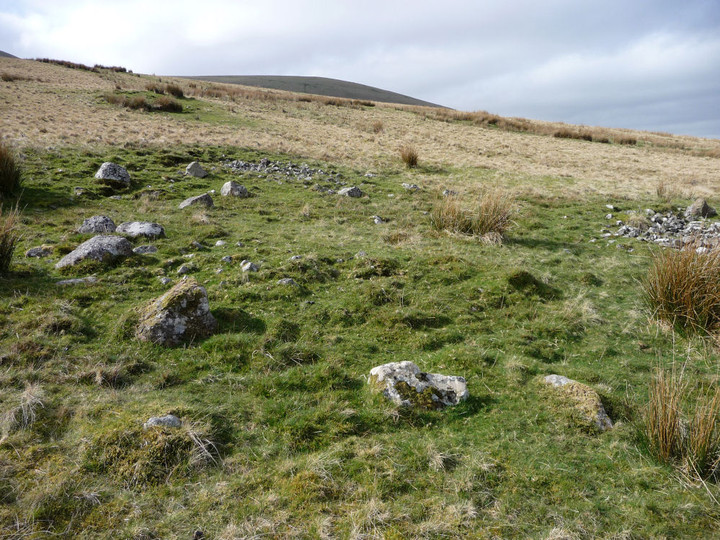
A cairnfield comprising at least 37 stony mounds is situated on a north-facing hillside between the Sawdde Fechan stream and the Afon Ceulan, at elevations of between 270m and 320m above O.D.
The cairns are roughly concentrated in two broad bands at the north and south ends of the site, separated by a narrow relatively cairn-free area. This area is a gently sloping terrace c.80m wide.
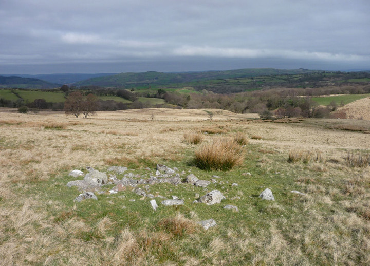
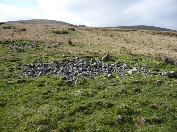
The cairns vary in shape and size, some being little more than stony scatters. Others are circular or oval mounds of unsorted stones and boulders, consolidated with light vegetation. They measure between 1.5m and 7m across, averaging 0.3m high (maximum 0.6m). Four typical examples, two from each part of the group, are located as follows: SN75642092 and SN75732087; SN75772101 and SN75722105. The site is flanked on the west by two short linear piles.
To the east, in the region of a track (and beyond), the ground becomes very stony as it falls steeply into the cutting of the Sawdde Fechan. A number of stone piles were identified amongst the clitter but it is not clear if these are naturally formed or artificial.

 Posted by thesweetcheat