
Camrie Fell Cairn viewed from N.
Image credit: Mark Johnstone
Camrie Fell Cairn viewed from N.

Camrie Fell Cairn viewed from E.

Camrie Fell Cairn viewed from S.
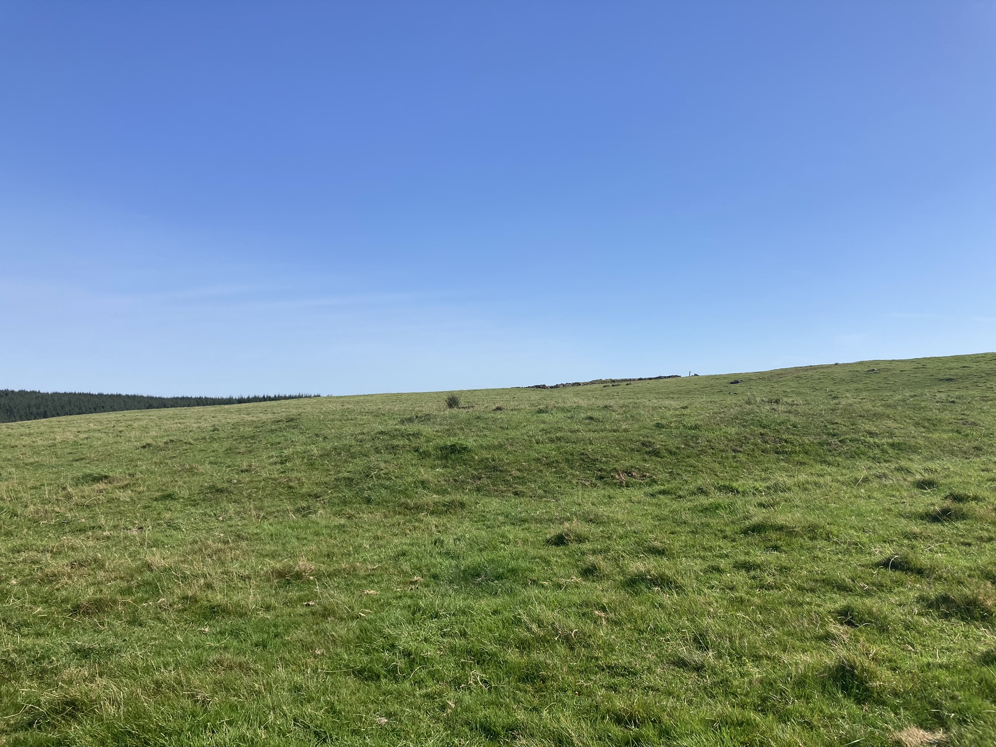
Camrie Fell Cairn viewed from W.

N Arc of Camrie Fell Cairn.

E Arc of Camrie Fell Cairn.

S Arc of Camrie Fell Cairn.

W Arc of Camrie Fell Cairn.

W Half of Camrie Fell Cairn.

Stone in NE Quadrant of Camrie Fell Cairn.
Visited 05.09.23
Camrie Fell Cairn is a low grassy cairn, c. 2 miles N of Glenluce in Dumfries and Galloway. The mound is located in high pastureland, c. 500 yards NNE of Gleniron Farm.
The footprint of a round cairn is located on an E-W slope in a grass field. There is a grass bank on the perimeter of the cairn, running clock-wise from the S Arc to the N Arc. The bank measures up to c. 6 feet wide and 2 feet high. The radius of the W half of the cairn is c. 27 feet. The E half of Camrie Fell Cairn has been reduced to ground level. There is only one stone, measuring c. 1.5 feet by 1 foot, on the flat surface of the cairn. It is located in the NE quadrant.
Canmore ID 61601 has a full description of Camrie Fell Cairn.
Take the North St turn-off in Glenluce, heading for the Three Lochs. After c. 1.3 miles turn left down a narrow unsigned lane. Follow this single track lane for c. 0.9 miles. Take a sharp right turn at Keepers Cottage. This rough farm track leads to Gleniron Farm. After c. 0.3 of a mile you will reach a 90 degree corner at NX 1961 5983. There is room to park here. A gate leads NNE up a slope adjacent to a dry stane dyke to a ruined farm. Follow the track though the farm. The cairn is located c. 150 yards NNW in the next field. My route is viewable on Camrie Fell Cairn.


