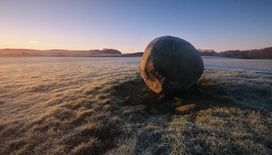
Castle Loch Cairn viewed from N.
Image credit: Mark Johnstone
Castle Loch Cairn viewed from N.

Castle Loch Cairn viewed from E.

Castle Loch Cairn viewed from S.

Castle Loch Cairn viewed from W.

N Arc of Castle Loch Cairn.

E Arc of Castle Loch Cairn.
S Arc of Castle Loch Cairn.

W Arc of Castle Loch Cairn.

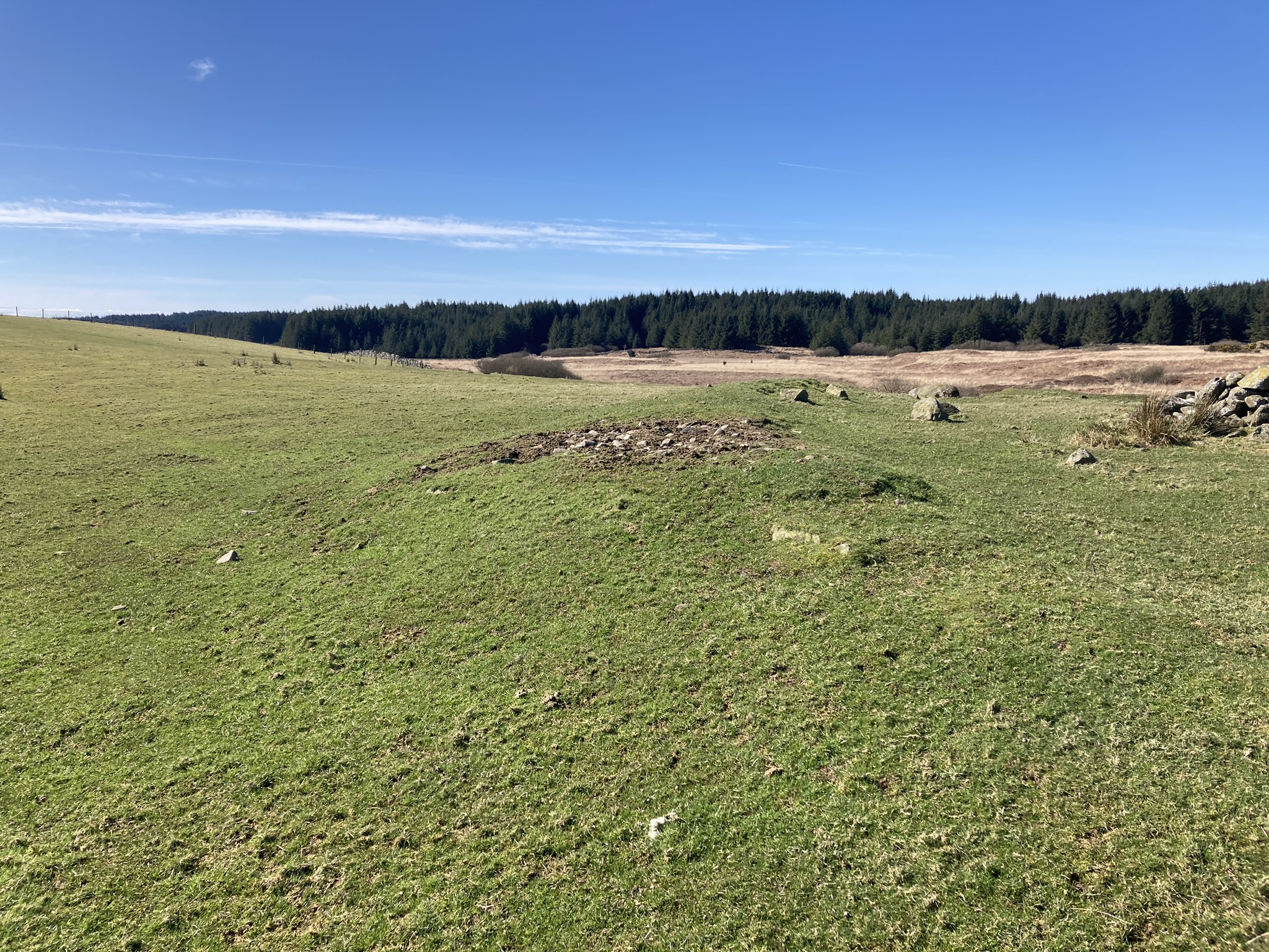
Grass Track bisects Castle Loch Cairn on a NE-SW Alignment

SW Gap in Perimeter of Castle Loch Cairn.

Kerb Stone in SW Arc of Castle Loch Cairn.

Displaced Kerb Stone in W Arc of Castle Loch Cairn.

Recumbent Stone in NW Arc of Castle Loch Cairn

Field Clearance Stones deposited in Centre of Castle Loch Cairn viewed from N.
Visited 27.03.23
Castle Loch Cairn is located c. 500 yards N of Castle Loch, c. 5 miles ESE of Glenluce in Dumfries and Galloway. It is accessed via a rough track running E from Culroy Farm, opposite White Cairn (Culroy) (listed on TMA).
Castle Loch Cairn is a flat grass circular footprint, c. 75 feet in diameter, with earth banks on the S and W Arcs. The S bank measures c. 9 feet wide and 1.5 feet high. The W bank measures c. 5 feet wide by 1 foot high. There is a gap in the perimeter on the SW, possibly due to a farm track which runs from NE-SW across the cairn. There several possible kerb stones on the W Arc: an embedded stone on the SW, a large displaced stone on the W and a recumbent stone on the NW. Field clearance stones have been deposited in the grassy centre of Castle Loch Cairn, creating a stony mound c. 15 feet in diameter and 3 feet high. The mound is offset c. 10 feet to the S.
Castle Loch Cairn is listed as Canmore ID 62234, titled as Drumwhirn. I named the cairn after the nearby Castle Loch because there is already a Drumwhirn Cairn listed on the TMA Dumfries and Galloway page.
Directions to Castle Loch Cairn: Take the A747 Port William road off the A75 at the E End of Glenluce. Turn left onto a single track road for Whitefield Loch after 1.8 miles. Stay on this narrow lane for c. 2 miles to reach Culroy Farm Track. Head E along a rough track. The track reaches a vehicular dead-end at a gate after c. 2 miles. Walk c. 450 yards E along a rocky road to reach a gate. Turn right here, heading NE for c. 400 yards into a narrow rectangular grass field to reach Castle Loch Cairn. There is an evident stony mound in the centre of the cairn.