Image credit: Robert Gladstone

Northern terminal cairn.... marked as ‘Tumulus’ on the map. Looking approx south.


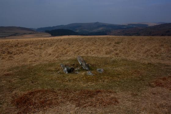
The ‘Money Pit’s cist with what I took to be displaced capstone.

The ‘Money Pit’ at SX68177386...

The ‘Money Pit’ at SX68177386...

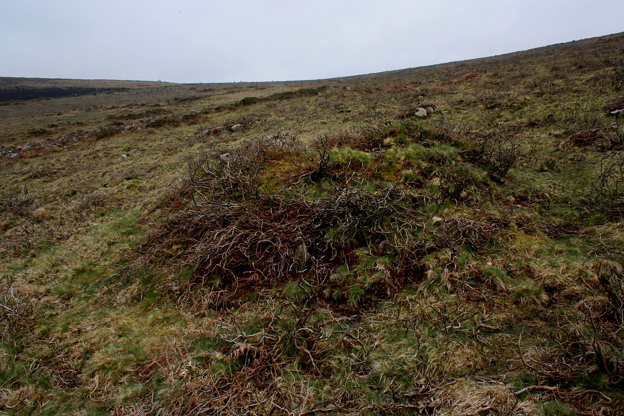
The cairn-circle near the southern extremity of the row at SX61177386, apparently known locally as the ‘Money Pit‘


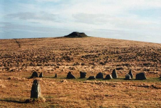
The crags of Yar Tor rise beyond, the southern (left hand) of which possess a large – albeit mutilated – cairn.


Looking north(ish)

This multiple row has been much disrupted.... however there’s still a significant number of orthostats in situ, looking approx south. Note the ease of access...

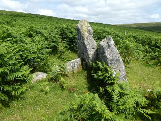
Cairn with cist looking WNW.
05/12/09

facing south from the southern end of Yar Tor stone row, Sharp tor in the distance and the ‘Money Pit’ cairn in the foreground.

The Monet Pit at the end of the Yar Tor row.
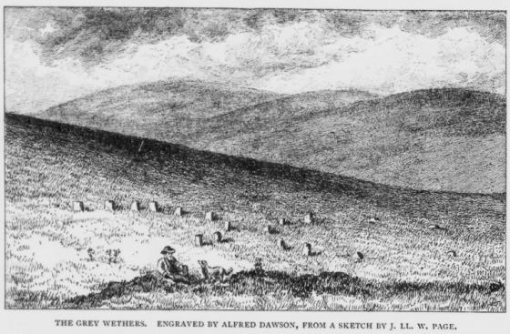
Yar Tor Triple Stone Row, Dartmoor. SX 6810 7495
This rather heavily disturbed stone rows runs NNW-SSE obliquley down the slope between Yar Tor and Corndon Ridge. The higher, southern end terminating at the ‘Money Pit’ cairn, the lower northern end now distroyed by later medieval field enclosures. Two Bronze Age reaves also cut through the mid oart of the row. The row is located on a north facing slope so that the field of view to the observer is drawn solely to the north. Viewed from the southern end of the row, some 30m from the cairn, due to later robbing of the larger stones, the rocky outcrop of Sharp Tor fits neatly into the outer ring of stones formed by the cairn. This direct link with a major topographical feature and the stone row is quite unusual on the moors. Easy access, car park some 100m away, though try to go when the vegetation is not at its height, the stones are quite small and/or recumbent, though the view makes up for this.