Image Credit: Environment Agency copyright and/or database right 2015.
Image credit: Open Source Environment Agency LIDAR
Image Credit: Environment Agency copyright and/or database right 2015.


Hunter’s Tor itself can be seen centre right background

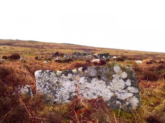
The outer defences are arguably most substantial to the approx south-east.

The eastern flank is heavily overgrown..... at least during summer.
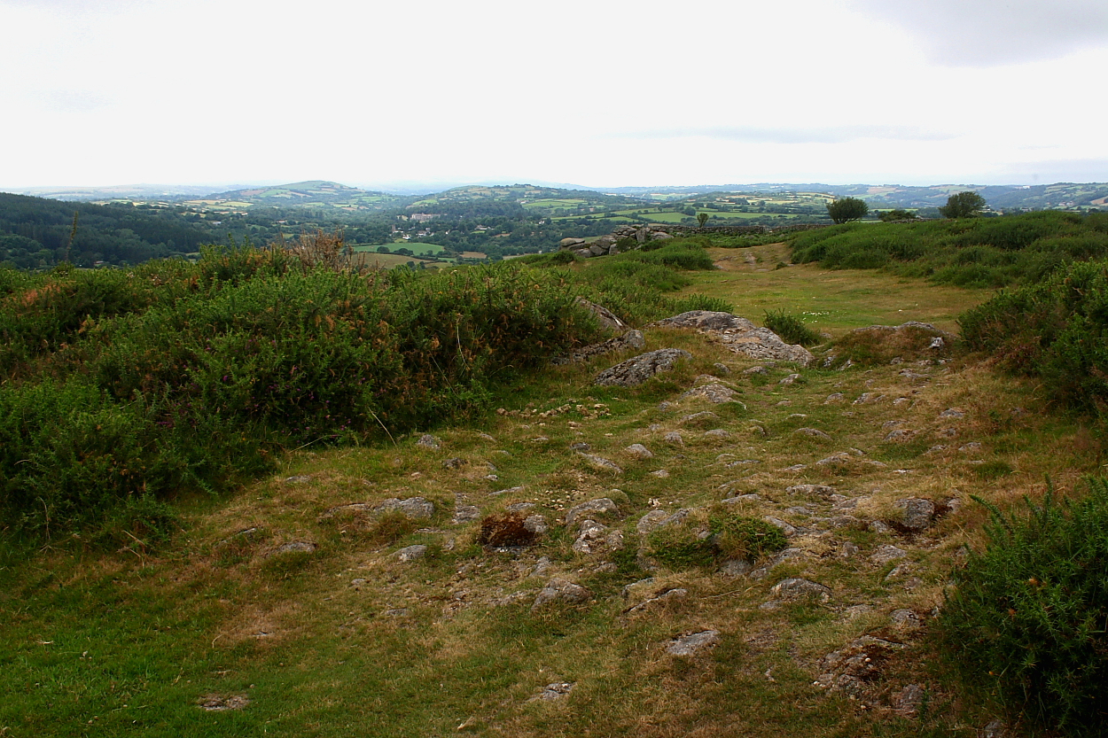
Officially the bridleway skirts the ramparts... yeah, right.


Haytor Rocks can be seen upon left skyline

Looking from Hunter’s Tor itself.
According to Pastscape this aesthetically pleasing site located, with far ranging views, to the immediate approx south-east of the crags of Hunter’s Tor, represents the remains of a:
“Triple-ramparted hillfort of stone with shallow ditches, widely spaced with level berms 12m-15.5m wide between each rampart in the ttradition of SW England. Entrance is from the SE with the end of the middle rampart inturned to form an embanked entranceway which joins the innermost rampart. Entrance through the outer rampart and ditch via a causeway. The outer rampart and ditch are obscured on the slopes to the north and west. condition good despite the removal of much stone for field walls by farmers.“[sic].
Access is excellent since the hill fort is traversed by a public bridleway... however please bear in mind that car parking, if approaching from the north, is non-existent. I therefore left my car roadside at the nearby hamlet of Barnecourt and walked back down the road, ascending via Peck Farm.