
Newspaper clipping regarding a spring clean of Boringdon Camp from the Plymouth Extra, 2 May 1996, p19.
Image credit: Plymouth Extra
Newspaper clipping regarding a spring clean of Boringdon Camp from the Plymouth Extra, 2 May 1996, p19.

Newspaper clipping regarding a survey of Boringdon Camp from the Plymouth Extra, 3 August 1995, p2.

Part of the north west wall of Boringdon Camp. Shaugh Moor can just be seen in the background.

Boringdon Camp looking from the west towards the original entrance.

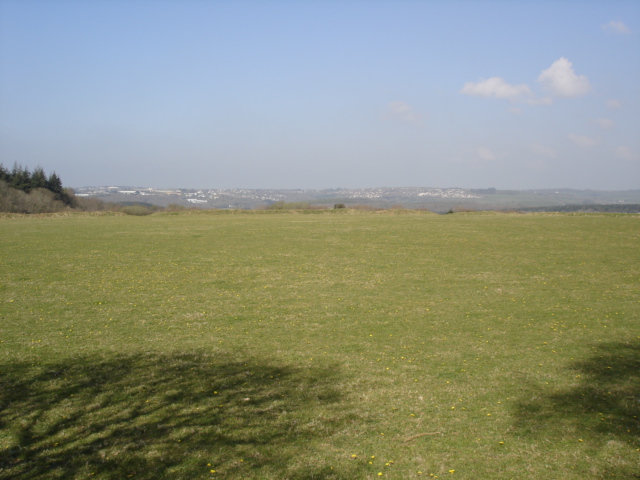
Boringdon Camp Looking north towards Dartmoor.

A photo of the aerial photograph on one of the information boards.
The original entrance is now covered by part of the woodland and was in the top right hand side of the photo.

One of the Information Boards at Boringdon Camp.
Boringdon Camp looking west from one side to the other.

Boringdon Camp.

Boringdon Camp.

Boringdon Camp.

Boringdon Camp.

Boringdon Camp.
Boringdon Camp is situated around 4 km south of Dartmoor and is accessed from a car park on the edge of Cann Woods. This can be reached by driving north from Colebrook on the road which goes to Shaugh.
The camp was in use from around 350-150 BC which according to the information board was the B section of the Iron Age. It is 145 metres above sea level and would have had a comanding view over Plymouth Sound when in use , unfortunatly this is now obscured by the pine forest. It still has views north towards Dartmoor.


