Image credit: Robert Gladstone

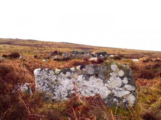
The eastern hut circle; head toward – and beyond – the enigmatic tree for the cairn.

The rather fine eastern hut circle... but one feature of “two irregular aggregate field systems with associated settlements” to be found here. Incidentally Fernworthy Forest can be seen skyline.
According to Historic England:
“The irregular aggregate field systems on Riddon Ridge are amongst the most extensive recorded on Dartmoor. Their relationship with the Dartmeet coaxial field system is of particular interest. The settlements and cairns provide useful information on the character of occupation in this area during the Bronze Age and together with the other Bronze Age remains, this monument represents an important and relatively rare instance of an area containing good examples of the major settlement and land division types found on the Moor....”
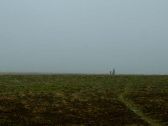
So, this sleepy, low ridge near to the tourist bustle of Bellever would appear of much more significance to students of Bronze Age domestic life than I assumed... as I chanced upon a very fine, solitary hut circle en-route to the funerary cairn.
More here:
historicengland.org.uk/listing/the-list/list-entry/1018930