Looking down across the Butter Brook.
Image credit: Peter Castle©
Looking down across the Butter Brook.

The most easterly of the houses in the settlement.

The roundhouse seen on the top of the hill with it’s two annexes running down.

Looking to the south from the hillside at the brook showing one of the houses.

Five of the roundhouses in the settlement on the north bank of the brook.
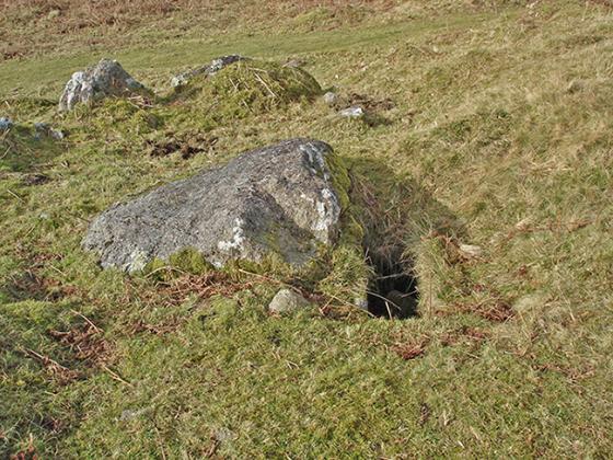
This is the remains of a small settlement situated on the north and south sides the slope of the Butter Brook.This is a very pleasant spot ideal for a picnic on a warm afternoon or evening. There are the remains of 10 dwellings left, 9 on the north and one on the south. There could have been more houses here but they have now been demolished by the building of a small reservoir, and a pine plantation that cover part of the area.
The area is easy to find and get to being only around 500 metres from the Harford Moor Gate entrance to the moor.
The Gate is at SX644595.