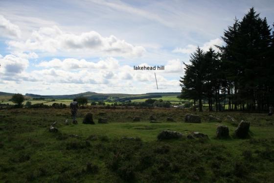
Hut circle near Enclosure “B”, looking north.

Hut circle near Enclosure “B”, looking north.

Detail of the outer wall of Enclosure “A”, the best preserved in the settlement.

Fine hut circle in Enclosure “A”, showing near-complete inner facing of the walls.

In-situ door jambs of one of the Enclosure “A” hut circles.

Well-preserved hut circle near Enclosure “C”.

Detail of the outer wall of Enclosure “C”.

One of several hut circles not attached to one of the bigger enclosures.

Remains of Enclosure “D”, reduced to an arc of upright slabs on its northern side.

Enclosure “E”, at the northwest of the settlement.
Jeremy Butler’s excellent “Dartmoor Atlas of Antiquities – Volume 3 – the South-West” (1994, Devon Books) has a plan of this extensive settlement and notes that since the encroachment of the clay works to the north, there are 27 hut circles and 7 associated enclosures remaining.
The settlement is situated on the northern slopes of Saddlesborough, the summit of which was graced with a number of (now-damaged) cairns. It is not inter-visible with West Saddlesborough/Shaugh Moor settlement and field system and a substantial reave separates the two.
A further enclosure to the north was destroyed by clay workings, but was fully excavated prior to destruction. Dates for the start of the settlement may be as early as 1870 BC, with intermittent occupation well into the Iron Age.


