Looking southeast to the Erme valley with Stalldown rising behind. The Erme Plains enclosed settlement can seen on the slopes on the right of the image.
Image credit: A. Brookes (10.6.2010)
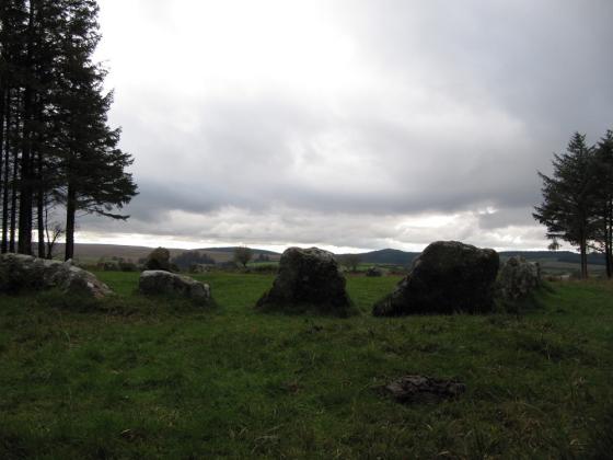
Looking southeast to the Erme valley with Stalldown rising behind. The Erme Plains enclosed settlement can seen on the slopes on the right of the image.

The solitary hut circle/round house within the enclosure.

The perimeter bank of the enclosure (this is the eastern side, looking north).

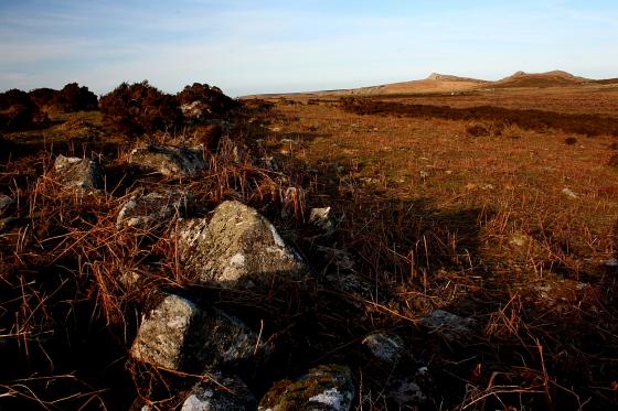
Approaching the enclosure from the SSE. The River Erme is on the left.
Description from Pastscape:
“(SX 64056516) Enclosure
Visible on air photographs.
At about 380.0m. OD on a SW facing slope above the river Erme is an enclosure of approximately 0.75ha., with walling of average width of 2.5m.-3.0m. and a maximum height of 1.0m., constructed of large boulders with some orthostats. Attached to the NW side of the enclosure is a yard and two hut circles (see SX 66 NW 49).
Within the enclosure is a hut circle, oval rather than circular in shape, with a maximum internal measurement of 3.7m. a thickness of wall of 1.0m. and an entrance on the SW side. The walling is largely orthostatic. There is no evidence of stone clearance within the enclosure. The area is naturally fairly open and clear
of rocks.”