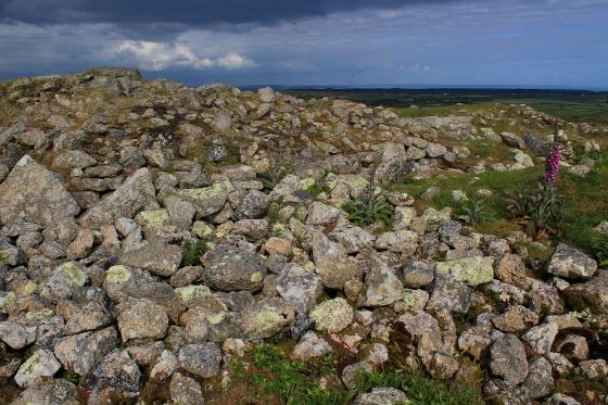
The very overgrown northeastern banks and ditch.
Image credit: A. Brookes (19.10.2020)
The very overgrown northeastern banks and ditch.


Looking south towards St Buryan from the southern ramparts.
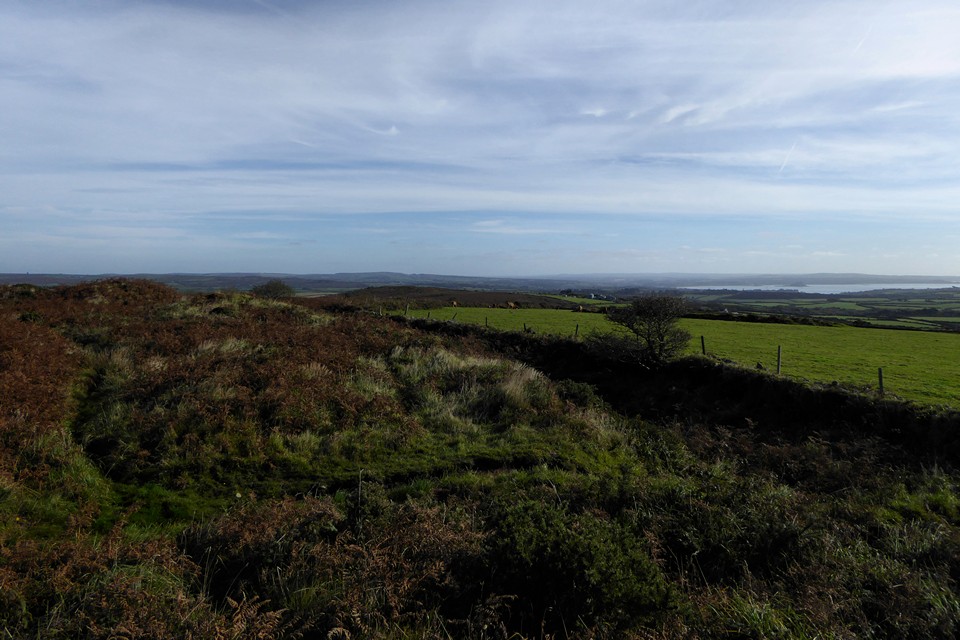
On the south side of the fort. The dark hill in the middle distance is Sancreed Beacon, with Castle-an-Dinas on the skyline behind. Mounts Bay and St Michael’s Mount can be seen over on the right.

Looking towards Chapel Carn Brea hill.


The ramparts are more overgrown than when we last came, four and a half years ago.

Looking across the western ramparts to Chapel Carn Brea and Bartinne.

Southwestern rampart.

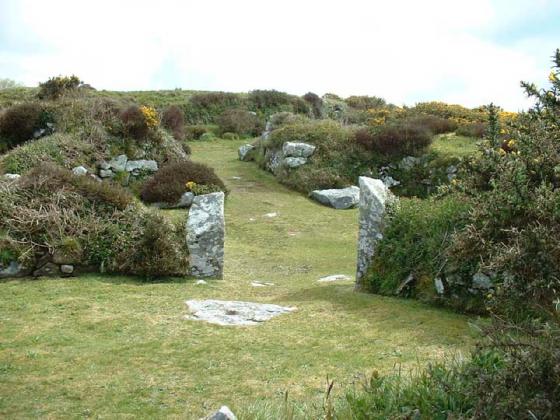
The southern entrance.

The southeastern rampart, looking towards Sancreed Beacon (in shadow).

The northeastern arc of the rampart.

Bluebells aplenty in the northeastern ditch.

Part of the ramparts along the southern side of the fort (looking east)

Ramparts to the east side of the northern entrance to the fort

View to Mount’s bay. The raised earth in the field in front could be the settlement mentioned on the sign.

Taken standing on the outer rampart.

The interior of the fort... unfortunately, it appears to have been filled in.

This is yet another site where you can see Carn Galva

Caer Bran from Sancreed beacon.

Approaching Caer Bran across the moorland, the top of the rampart just visible in the background.

Looking along the ditch and rampart.

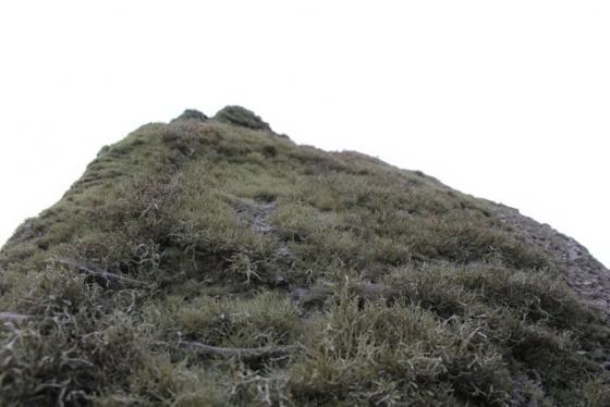
Taken inside the hillfort, this picture gives some impression of the misty conditions.

Atop the rampart looking into the ditch at the south-eastern end of the hillfort.
Paid a visit here yesterday for the first time in something like 20 years; had the place to myself, and wandered around enjoying the silence & tranquility. The mist was steadily shrouding the hill, completely obscuring the views that would have otherwise been camera fodder but certainly adding something to the ambience. This site is easily accessible (I recommend the OS ‘Explorer’ map of Land’s End) albeit involving quite a climb up a broad, part-concrete track (I pushed the mountain bike up this bit – I know when I’m beaten!), but well worth it. I’ll be returning in the summer, but as for yesterday – ‘atmospheric’ isn’t quite an adequate word.
From Mr Borlase’s article in The Cornish Telegraph, 27th April 1864:
Having obtained the kind consent of William Rashleigh, Esq. of Menabilly, Cornwall (to whom the property belongs), I visited Chapel Uny on the 10th of August, 1863. The ground above and around was intersected by the low dilapidated walls of an ancient British village somewhat similar to, but in no way so perfect as, those at Chysauster (where there is also a cave), at Bossullow Crellas, and other places in the neighbourhood.
In two places the ground had fallen in, disclosing in the one a portion of the side of a circular subterranean building; and in the other a deep and dark cavity. It appears that for the last century the cave has remained in exactly the same state as it is at present. Traditions of the place aver that it terminates beneath a huge ‘cairn’ [where] treasure is concealed; and also that it leads to the fortification of Caer Bran, which is about a quarter of a mile distant: but the former of these curious traditions has already proved to be incorrect.
I guess he’s suggesting the fogou at Carn Euny connects with this spot.
The Cornwall Archaeological Unit’s Review of 1995-6 reported that the Iron Age hillfort of Caer Bran was the most prominent feature within an 18 hectare area surveyed for Penwith District Council to provide information for a Countryside Stewardship Scheme. The new survey is said to have “produced some exciting and unexpected results . What had always been tentatively described as a central roundhouse, cut by a later post-medieval track, is now interpreted as one of three probably Bronze Age ring cairns, possibly within their own contemporary, banked enclosure”