Images

Image of Boscregan (Cairn(s)) by thesweetcheat

Carn Creis southern cairn. The cairn is built around the boulder in the centre, with kerb stones behind on the left and in the right foreground. The northern cairn can just be seen, top right.

Image credit: A. Brookes (25.6.2023)
Image of Boscregan (Cairn(s)) by thesweetcheat

Carn Polpry cairn, looking south. The northern of the two Carn Creis cairns is on top of the rocky knoll visible on the far right of shot.

Image credit: A. Brookes (25.6.2023)
Image of Boscregan (Cairn(s)) by thesweetcheat

Carn Polpry cairn, with surviving kerb. There are reportedly another two possible cairns almost adjacent to this one, but whatever remains of these is either under the gorse or is worn down to nothing much.

Image credit: A. Brookes (25.6.2023)
Image of Boscregan (Cairn(s)) by thesweetcheat

Carn Polpry from the north. The cairn (or cairns) is on the high point. Beyond are Sennen Cove and Land’s End, with Longships the islands off to the right. The viewpoint is Carn Gribba, not far from the Letcha cairn.

Image credit: A. Brookes (25.6.2023)
Image of Boscregan (Cairn(s)) by thesweetcheat

The centre of the northern Carn Creis cairn. The southern cairn is visible over on the right, to the right of the calf. Sennen Cove is the coastal village beyond.

Image credit: A. Brookes (23.6.2018)
Image of Boscregan (Cairn(s)) by thesweetcheat

Carn Polpry cairn. The northern of the two Carn Creis cairns is a prominent feature on the top of the nearby headland to the far left.

Image credit: A. Brookes (23.6.2018)
Image of Boscregan (Cairn(s)) by thesweetcheat

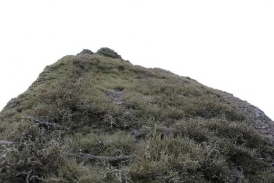
Carn Polpry cairn at SW 3579 2983. Kerbstone in the foreground. There are supposedly two further cairns immediately adjacent to this, but the thick gorse prevents obvious identification. When we last came here in 2005 the cairn was grass-covered.

Image credit: A. Brookes (23.6.2018)

Articles

Boscregan

The barrows adjoin the Coast Path, along the stretch between Cape Cornwall (Carn Gluze) and Sennen Cove and are easily visited as part of a coast walk – they can also be reached from the footpaths around Nanjulian/Hendra. Not as impressive as the Mayon Cliff barrows, but still a prominent feature to look out for.

comment 0 Comments

Miscellaneous

Boscregan
Cairn(s)

Marked on the Explorer map 102 as ‘cairns’ but it’s not obvious exactly where they are. They are beside the cliff path between Porth Nanven and Whitesand Bay, just south of Polpry Cove. On National Trust open land.

This is what Craig Weatherhill says in his book ‘Belerion: Ancient Sites of Land’s End’ (Cornwall Books, 1981)...“Two barrows stand on the cliff top and both were excavated by W.C.Borlase in 1878. The northern barrow, on the landward side of the path is 10m in diameter and parts of both inner and outer retaining walls can still be seen. A cist was found in the centre of the barrow and a flat slab lying on the eastern edge of the mound may have been its capstone. Sherds of pottery were also uncovered. The southern mound, only 7m across, yielded an astonishing range of finds. This had been a kerbed ring mound raised around a natural boulder 1.2m high, and within it were four urns, three of them dating from the middle bronze Age, along with other fragments of pottery, a perforated stone, a leaf-shaped arrowhead, shale discs, pieces of glass, a steatite button and number of segmented faience beads.”

comment 0 Comments

Sites within 20km of Boscregan