Rumours of Nessie’s migration to warmer climes are still to be substantiated.
Image credit: Robert Gladstone
Rumours of Nessie’s migration to warmer climes are still to be substantiated.


The dreaded Land’s End hotel rises beyond. For you, ze war is over....

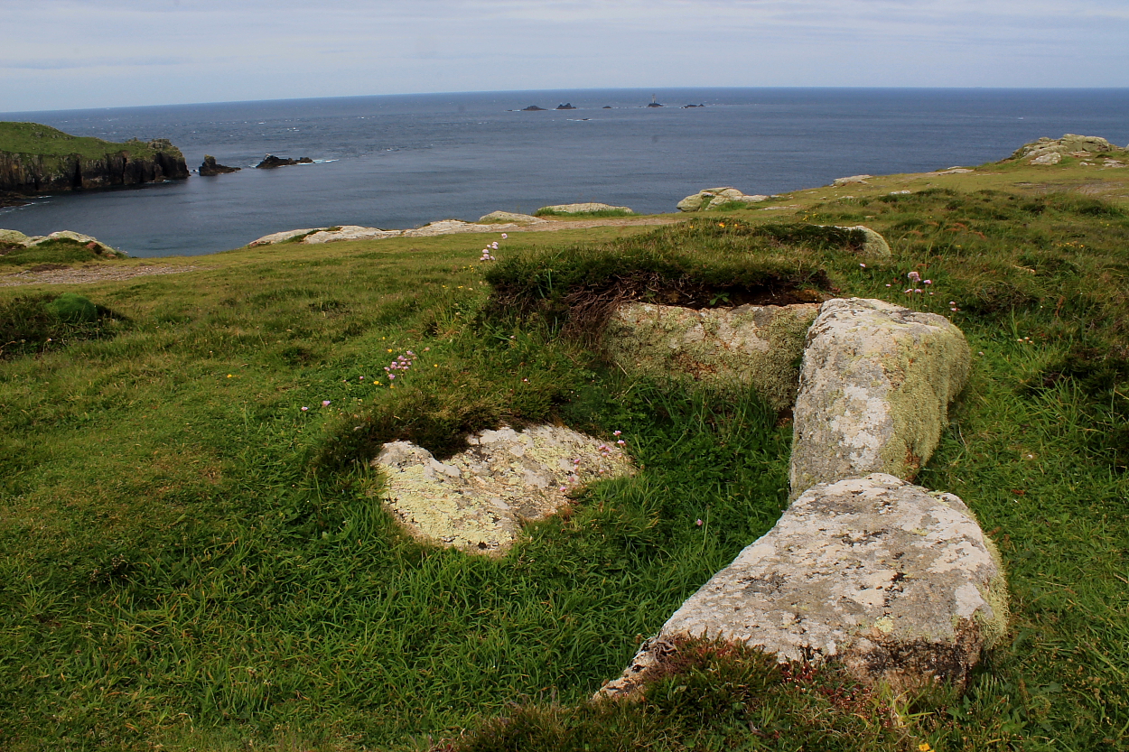
Looking across the obvious cist to distant Cape Cornwall

Quite a decent monument for such an exposed – to the tourist boot – location..

Mayon Cliff Entrance Grave, Mayon Cliff (SW 3482 2602). 06 From the west south west. Photo taken on 10 July 2004. © Chris Bond.

Mayon Cliff Entrance Grave, Mayon Cliff (SW 3482 2602). 05 From the south east. Photo taken on 10 July 2004. © Chris Bond.

Mayon Cliff Entrance Grave, Mayon Cliff (SW 3482 2602). 04 From the west. Photo taken on 10 July 2004. © Chris Bond.

Mayon Cliff Entrance Grave, Mayon Cliff (SW 3482 2602). 03 From the north east. Photo taken on 10 July 2004. © Chris Bond.

Mayon Cliff Entrance Grave, Mayon Cliff (SW 3482 2602). 02 From the east south east. Photo taken on 10 July 2004. © Chris Bond.

Mayon Cliff Entrance Grave, Mayon Cliff (SW 3482 2602). 01 From the south south west. Photo taken on 10 July 2004. © Chris Bond.

Kerb in the foreground, chamber stones behind.

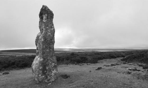
Nine years since a drizzly visit, I managed to pick a day with even less visibility this time, as sea fret cloaked the cliff top.

It’s a slow pace of life on Mayon Cliff.

Long slab and naturally worn basin in the cairn.

Looking SW towards Land’s End and a near invisible Longships lighthouse.

The very fine Mayon Cliff cairn, on a less than very fine morning.

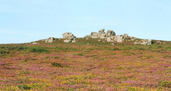
The low mound in the left of the picture may be the NE barrow. The SW cairn is on the right.

Enormous slab across the top of the cairn. Land’s End beyond, Longships top right.

Looking towards Cape Cornwall and the Ballowall barrow (Carn Gluze).

Looking SSW.

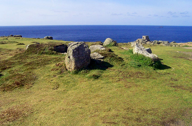
The impressive SW cairn.

A pair of Cornish Choughs flying across on of the barrows. A really special moment. I followed them all the way to Maen Castle.

Looking west, June 2005.

The remains of a cist.

In the background can be seen the machinery being used to salvage from a ship, run aground on the cliffs below, blocking the path between Sennen Cove and Land’s End.

09/02
The last two barrows of the day bear no resemblance to each other. The well-known Mayon Cliff cairn, which the coast path passes right next to, is rather lovely. It has a retaining kerb of rounded boulders and the remains of a central cist. A huge longstone lies across the mound, presumably dismounted from a position covering the central burial. Lands End (and its tacky tourist park) is visible, as are the Longships with their lighthouse. By contrast, the round barrow to the NE (assuming I did find it) is simply a low mound, covered in heather and almost imperceptible unless you’re really looking for it. It has no visible stonework at all but is in the correct place based on the OS map and Craig Weatherhill’s “Belerion” description. It is intervisible with the better-preserved cairn.
As we approached this site, on our way walking to Land’s End, we were greeted with the site of heavy industrial equipment, hauling salvage from a ship run aground below the cliffs. I took a few shots and had a quick look at the site, before getting away from this ugly scene!
Further to Purejoys Misc. posting....
The cairn is very close to the Mayon lookout post and has great views along the coast especially toward Lands End.
The remaining stones of the kerb and cist are quite impressive.
Separately marked on the Explorer map 102 as ‘cairn’ and ‘tumulus’. They are beside the cliff path between Land’s End and Sennen Cove. On National Trust open land. Very close to Maen Castle cliff fort.
This is what Craig Weatherhill says in his book ‘Belerion: Ancient Sites of Land’s End’ (Cornwall Books, 1981)...“The most prominent of these two barrows stands immediately beside the cliff path.....7.9m in diameter and 0.6m high, it still has much of its kerb although most of the mound has gone. The roofless remains of a large cist are exposed to view. The second barrow is a low mound 9.1m in diameter and is north-east of its neighbour. These are probably the two barrows on Mayon Cliff excavated by W.C.Borlase in 1879, but nothing was found in either.”