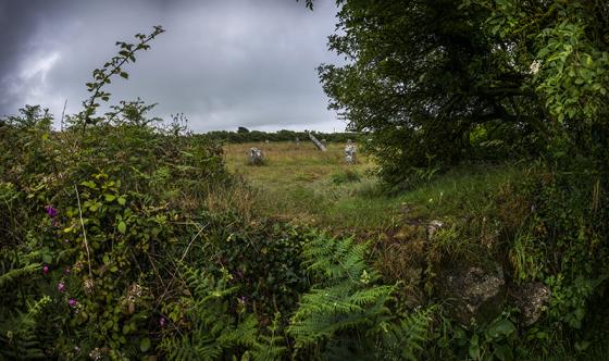
The field system to the north of the settlement extends all the way to the sea, its final boundaries run along the clifftop at Wicca Cliff.
Image credit: A. Brookes (2.10.2017)
The field system to the north of the settlement extends all the way to the sea, its final boundaries run along the clifftop at Wicca Cliff.
From “Belerion” – Craig Weatherhill (1981 Alison Hodge):
“Wicca Round was also excavated by the West Cornwall Field Club, in 1956-7. Lying in a fairly extensive field system, it consists of a compact though mutilated group of three huts arranged in a tight triangular plan. There is more undergrowth here than on the top of the ridge, which makes Wicca Round more difficult to observe than Sperris Croft.”