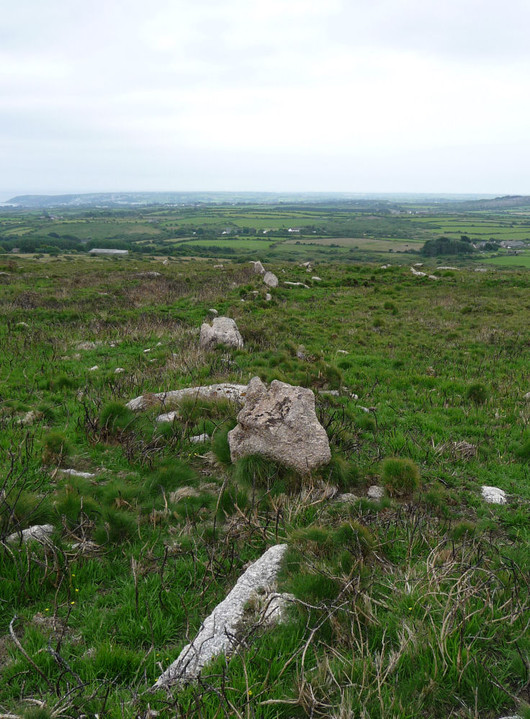
Looking along one of the ancient field boundaries revealed by the burning.
Image credit: A. Brookes (20.6.2012)
Looking along one of the ancient field boundaries revealed by the burning.

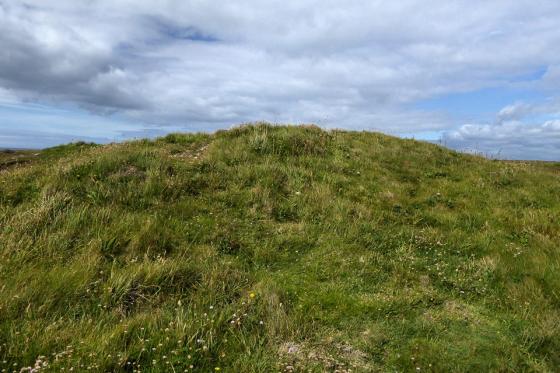
On our way up the southern slopes of Mulfra Hill we came across a rock outcrop that has been augmented, to form a small square roofless chamber with walling on one side and an upright slab blocking off the end. No idea what sort of age this has, but it’s clearly man-made.

The southern slopes of Mulfra Hill, revealed by an extensive gorse fire in March 2012. The standing stone is in the area west (left) of the path that can be seen as a lighter diagonal line across the slope. G/F is probably not far from it, as she approaches the quoit.
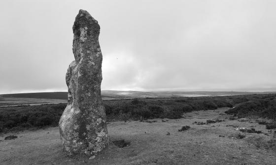
Recent (Spring 2012) extensive burning of gorse on the southern slopes of Mulfra Hill has revealed a probable prehistoric field system. A fallen standing stone was recorded on the slopes by William Copeland Borlase in 1872 and mentioned in Vivian Russell’s 1971 West Penwith Survey.
I didn’t know about the stone on our recent visit, so didn’t look for it. It is mentioned in issue 78 of the excellent Meyn Mamvro magazine (which is when I realised what I’d missed).
The stone lies somewhere to the west of the path running up the hill from Mulfra courtyard houses to Mulfra Quoit.