10 November 2021 CE
10 November 2021 CE

Toldavas Standing Stone looking E towards Toldavas Farm.

The broad face of Toldavas Standing Stone.

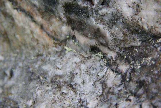
The narrow edge of Toldavas Standing Stone.


Visited 21.03.13
Toldavas is a squat standing stone in a cultivated field 150 yards W of Toldavas Farm. It measures c. 4x4x2 feet, resembling an erratic boulder more than a menhir. It would have been difficult to move this massive rock so it may be in its original location. Toldavas Standing Stone is included in Google Maps.
Directions
Follow the A30 round Penzance continuing onto Drift. After another 0.75 miles take the B3283 Porthcurno/St Buryan L turn off. Travel c. 0.9 miles along this road to reach a crossroads. There is room to park on the L at Toldavas Farm Road. Walk c. 400 yards down the road. Toldavas Standing Stone is c. 30 yards into the field on the R. If the field is in crop you can walk down the field edge.
Toldavas menhir
SW427267 – I didn’t have chance to visit this but Ian McNeil Cooke’s ‘Standing Stones of the Land’s End’ (1998 Men-an-Tol Studio) say that a “large erect boulder, which may be a menhir, stands in a field on an alignment”. Seems to be private land. Not on OS map. Hmmm?
Street View of Toldavas Farm Road.