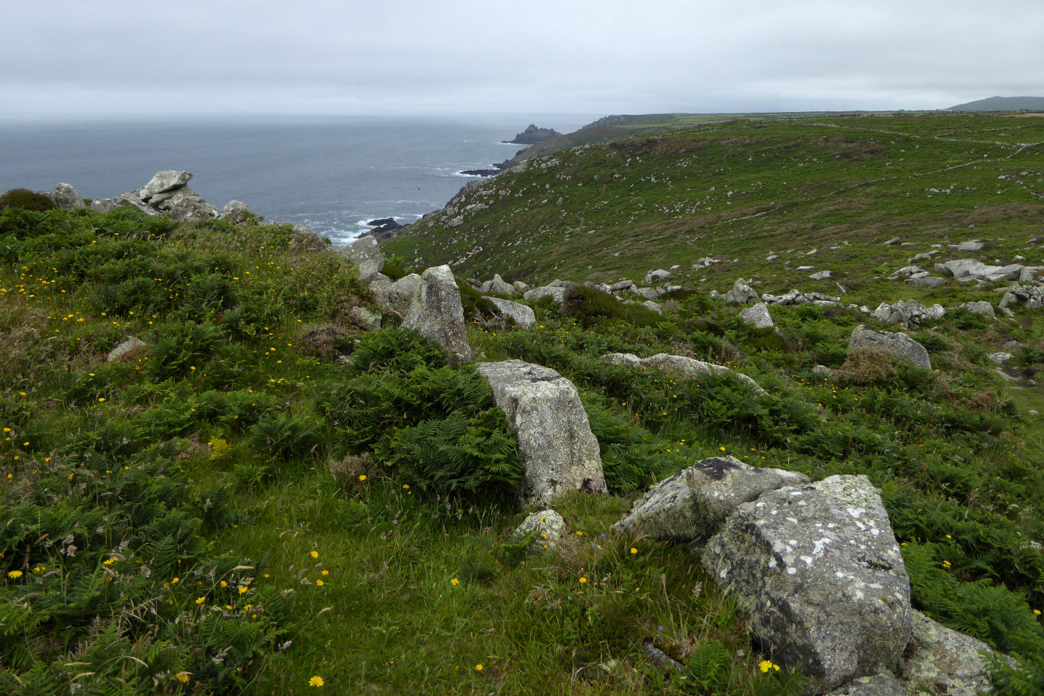
The impressive cliffs forming the south-western side of the fort, a haven for climbers even in less than lovely weather. The jagged arête of Porthmoina Island is far below, being pounded by the sea in the cove.
Image credit: A. Brookes (16.6.2021)
The impressive cliffs forming the south-western side of the fort, a haven for climbers even in less than lovely weather. The jagged arête of Porthmoina Island is far below, being pounded by the sea in the cove.

The boiling sea in Porthmoina Cove to the south-west of the fort. Looking towards Pendeen.

Looking south towards the prehistoric field systems around Rosemergy, before the moor rise to their highest point on Watch Croft.

The almost sheer plunge down to Halldrine Cove from the fort. Looking north-east towards Gurnard’s Head cliff fort.

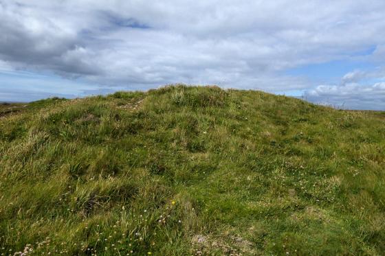
Wind- and water-sculpted boulder inside the fort. Watch Croft rises behind.

The ground slopes steeply on the north-eastern side, before plunging down to Halldrine Cove, with prehistoric field systems still being used to divide the clifftop fields. Carn Galva on the right skyline, Zennor Hill on the far left skyline.

The north-eastern end of the rampart.

From the south.


The stone rampart.

Ancient field boundaries run up to the stone rampart.

Approaching from the northeast.

The outer face of the rampart.

Rock basins on the west side of the fort, looking towards a rain-lashed Pendeen Head.

The blocked entrance through the wall. Brooding Watch Croft, the highest hill in West Penwith, provides the backdrop.
Big blocks of granite used in the rampart. The distant headland is Gurnard’s Head.

Ancient field system to the south of the rampart. Carn Galva is the prominent hill.

Open Source Environment agency LIDAR

Pair of naturally eroded “cups” in the rocks near the sea within the fort (see Rhiannon’s Folklore post).

Rocky outcrops on the promontory (see Rhiannon’s Folklore post).

Bosigran Castle, with the ruins of Carn Galva mine in front. Seen from the footpath running up to The Four Parish Stone between Carn Galva and Watch Croft.

Looking towards the prominent headland of the fort, from the south. Fine megalithic gatepost or what?

Looking through the blocked entrance towards Carn Galva.

Looking NE along the coastline from the fort’s interior. The next cliff fort along the coast, the excellent Gurnard’s Head, can be seen in the centre of the picture.

Looking across the curve of the wall towards Carn Galva.

Looking inland from the fort to Carn Galva (left) and Watch Croft (right).

Detail of the impressive remains of the defensive wall.

Approaching the defensive wall, still standing several courses high.

Approaching Bosigran Cliff from the NE, on Halldrine Cliff. The settlement is on the flat area at the top left of the picture.
On the cliffs near this village is Bosigran Castle, a small promontory of bold granite rocks, across which the insignificant remains of a thick stone wall are believed by some to indicate that here is a specimen of one of the so-called cliff castles.
A large block of granite in the centre, covered at the top with rock-basons, is called the Castle Rock; and near this a large stone, scooped, as it were, through the top, is known as the Giant’s Cradle.
At the distance of a few yards from these, nearer the sea, is an excellent logan stone, a slab of granite over nine yards in circumference, with rock-basons on the top. A slight pressure upwards, or standing upon it, causes this rock to vibrate throughout its whole length.
From Rambles in Western Cornwall by the Footsteps of the Giants by J O Halliwell-Phillipps (1861).
Summary of descriptions from Pastscape:
Centred SW 4160 3695
[Extends from SW 4167 3695 to SW 4170 3685] Wall [SW 4167 3691]
The headland concerned is ideally situated for defence and consists of a prominent granite outcrop oriented NNW-SSE. On the north, west and south sides there are steep rocky cliffs descending to the sea. Only to the east is there access from the landward side and even here there is protection given by the rocky slopes of the ridge.
There is little doubt that an attempt has been made to isolate and fortify the promontory. The southern end of the east side of the ridge is the only vulnerable section, and here for a distance of 100.0m, is a stone wall following the upper edge of the escarpment and running from cliff to cliff. The northern half of this section has the additional protection of steep natural slopes. The landward side of the wall is of crude, dry stone, construction up to 2.0m high and retains on the west a bank of granite rubble 4.0m. wide and up to 1.2m. high. The southern part of the retaining wall appears to be a modern reconstruction. The only sign of an entrance is to the south where there is a small gap in the rubble bank, although the retaining wall is unbroken. A scatter of loose stones on the slopes below the wall indicates that parts of the wall have fallen and that it may have once been considerably higher. The wall, although now not very strong, is ideally situated for defence and commands a fine view of the level ground on the landward side making any unobserved approach practically impossible.
There are no traces of any internal occupation, the only features of interest being a logan stone and several fine rock basins. It is concluded that this is a promontory fort although the nature of the defences may indicate a use a an occasional place of refuge rather than a permanent habitation site.
A 25” survey has been made.
There may have been considerable erosion of top soil but there are no signs of habitation and any permanent settlement must have been on a minor scale.