The narrow edge of Sheffield Menhir.
Image credit: Mark Johnstone
The narrow edge of Sheffield Menhir.

The boundary wall is built around Sheffield Menhir.

Sheffield Menhir overgrown by ivy.
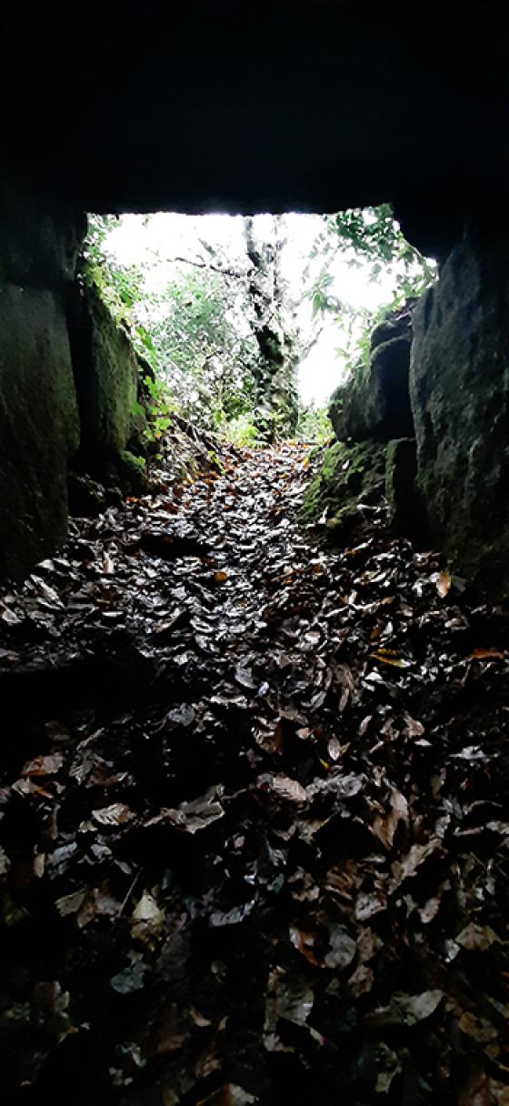
Sheffield menhir
SW459275 – Ian McNeil Cooke says that “a 2.45m triangular shaped possible menhir was discovered in 1984” (’Standing Stones of the Land’s End’ – 1998 – Men-an-Tol Studio). Not marked on the OS map.