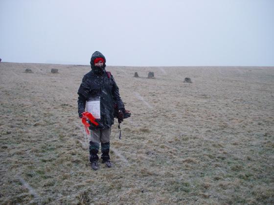
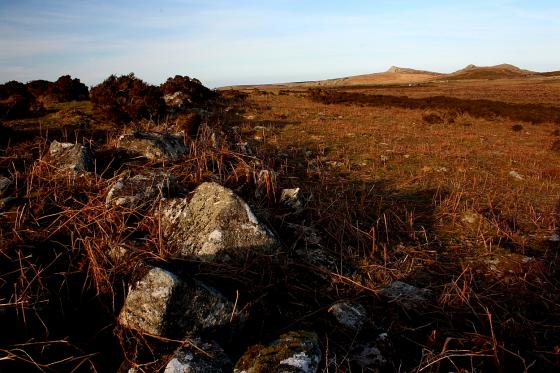
Starting from the T-junction just SE of Cross Furzes, I furtively made my way across Lambs Down, ultimately bound for Gripper’s Hill. However, I elect to stick to the umbilical security of the obvious ‘Abbot’s Way’ in increasingly violent, driving rain to take stock and wait for the promised early afternoon hiatus of the storm. Anyway, upon beginning the descent to Brockhill Stream two hollow, grassy ‘mounds’ appear to my right, further investigation revealing elements of stone within the turfy mantle.
Sheltering within the upper of the pair from the horizontal downpour (if anything heading at 90 degrees can be said to be moving in a ‘downward motion’, that is) I decide these don’t resemble hut circles imo... although there are enough of them around these parts, to be sure... and the cairn featured upon the 1:25K map doesn’t fit with the location. So what is going on here?
However... interestingly, perhaps... it would appear from Pastscape that at approximately SX683660 (i.e hereabouts):
“Grinsell failed to locate in 1976 a cairn 35yds in circumference which was noted by Crossing”.
[Sources:
( 1a) by Brian Le Messurier 1965 Crossing’s guide to Dartmoor
( 1) Devon Archaeological Society proceedings
(L V Grinsell) 36, 1978 Page(s) 138.]
It does seem rather odd no-one (apart from perhaps the legendary William Crossing) has noticed these before. I’ve assigned a designation of ‘cairns’, pending further insight or subsequent removal. Thoughts, anyone?


