Visited 3.5.11
I first became aware of this site after seeing it mentioned on Megalithic.
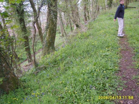
I took the track off the A381 just south of the hamlet of Halwell and parked next to a field gate. The field in question was full of young cows who must have thought I was the farmer as they stampeded across the field to the gate as soon as they saw me!
Needless to say I decided not to enter the field and instead climbed to the top of the gate. From here I could spot 3 Barrows in the field. Two were on the far side of the field – approximately 0.3 metres high x 10 metres across and the third Barrow more in the middle of the field – approximately 0.5 metres high x 15 metres across.
There may very well be more Barrows in the surrounding fields but due to my bovine friends I was unable to explore any further. Dafydd found all this rather amusing!!!
Sites within 20km of Ritson Barrows
-
Stanborough Camp
description 1 -
Halwell Camp
description 1 -

Blackdown Rings
photo 1description 1 -
Woodbury (Dartmouth)
description 1 -

Brent Hill
photo 1 -

Cantrell Stone Row
photo 3description 2 -

Aish Ridge
photo 2description 2 -
Beacon Hill
description 1 -

Cuckoo Ball
photo 13description 2 -

Butterdon Hill Chambered Tomb
photo 8description 2 -

Western Beacon
photo 19description 5 -

Butterdon Hill cairn circle
photo 4description 2 -

Butterdon Hill cairns
photo 21description 2 -

Butterdon Hill (north) cairn
photo 3description 1 -

Glaze Meet
photo 3description 1 -

Spurrell’s Cross Stone Row
photo 6description 2 -
Addicombe
-

Corringdon Ball Long Barrow
photo 14description 1 -

Weatherdon Hill
photo 2description 1 -

Glasscombe Corner
photo 11description 2 -

Corringdon Ball Stone Row
photo 15description 1 -

Butterdon stone row
photo 16forum 1description 3 -
Glasscombe Ball North
description 1 -

Glasscombe Ball
photo 3description 2 -

Butter Brook Ford
photo 5description 1 -

Piles Hill longstone
photo 12description 2 -

Piles Hill cairns
photo 8description 2 -

Harbourne Head
photo 5description 1 -

Harford Moor
photo 15description 2 -

Piles Hill stone row
photo 3description 1 -

Harbourne Head cairns
photo 2description 1 -
Rider’s Rings
-

Sharp Tor
photo 5description 1 -

Burford Down cairn and cist
photo 8description 1 -

Burford Down
photo 18description 5 -

Three Barrows
photo 10 -

Gripper’s Hill
photo 13ondemand_video 1description 1 -
Bolt Tail
link 1 -

Stalldown South-East
photo 8description 2 -

Brockhill Foot West
photo 9description 1 -

Brockhill Ford West
photo 2 -

Dean Moor
photo 8forum 1description 1 -

Brockhill Enclosed Settlements
photo 1 -

Denbury Hillfort round barrows
photo 4description 2 -

Eastern White Barrow
photo 9ondemand_video 1description 1 -
Denbury
photo 5forum 1description 3link 1 -

Hembury Castle
photo 19description 5link 1 -

Stalldown Stone Row
photo 46forum 1description 6link 2 -

Biller’s Pound
photo 2description 1 -

Snowdon
photo 6description 1 -

Stalldown Barrow and Hillson’s House
photo 20description 5link 1 -

Western White Barrow
photo 9description 3 -

Huntingdon Warren Settlement
photo 1description 1 -

Harrowthorn Plantation North
photo 1description 1 -

Blatchford Bottom settlements
photo 3 -

Buckland Ford Cairn Circle
photo 10 -

Coombebrook North East
photo 1description 1 -

Pupers Hill
photo 11ondemand_video 1description 3 -

Stall Moor Stone Circle
photo 20description 7link 1 -

Heap of Sinners
photo 11ondemand_video 1description 2 -

Hook Lake
photo 3description 1 -

Hook Lake
photo 4description 1 -

Erme Plains
photo 1 -

Stall Moor Cairn
photo 5description 2 -

Dendles Waste
photo 1description 1 -

Mardle Valley
photo 1description 1 -

Ranny Brook
photo 3description 1 -

Erme Pound
photo 4description 1 -
Kent’s Cavern
description 8link 1