September 2015
Image credit: Michael Mitchell
September 2015

September 2015

September 2015
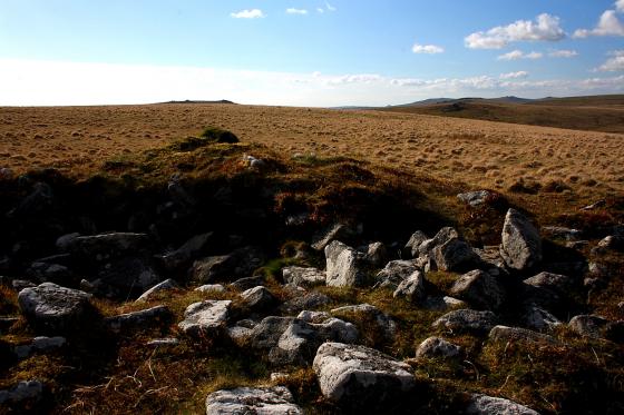
Two stones on a monument on Dartmoor have been restored to their original upright position, national park bosses have said.
Archaeologists, landowners and volunteers worked together to re-stand the stones forming part of a double stone row at Piles Hill, Dartmoor National Park Authority said.