01/07. The shelter.

01/07. The shelter.

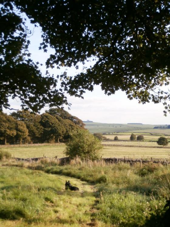
01/07. The scarp with shelter hidden in trees to the left.
The rock shelter/cave is located in a low (3m) broken limestone scarp, some 300m in length, overlooking Bonsall Moor and the hill of Blake Low to the south.
Known by CAPRA as DS01 the scarp and shelter are overgrown and difficult to spot from any distance and other smaller shelters can be misleading.
In Rodney Castleden’s ‘Neolithic Britain: New Stone Age Sites of England, Scotland and Wales‘ he mentions that large rocks in front of the shelter were placed there to form an enclosed platform in front of the opening...not sure whether I got this bit or not...it’s rocky ground and looked natural to me.
A number of flint tools have been recovered from the area in and around the shelter. Being such a small hole I’m guessing the place was used as a hunting shelter, rather than for habitation, somewhere to make tools outta the wind and rain


