The fort seen from Tregonning Hill to the southeast.
Image credit: A. Brookes (24.6.2021)
The fort seen from Tregonning Hill to the southeast.

The inner rampart, at the southern entrance.

Inside the fort, looking west. St Michael’s Mount is left of centre.

Looking NW. Godolphin Hill is straight ahead, the eastern end of the West Penwith moors top left.

Looking southwest from the inner rampart.

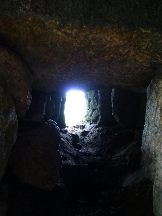
Sections of the northern rampart break cover of the bracken.

The hillfort occupies the crown of the hill, centre skyline. On the eastern slopes – on the right in the image – are two Iron Age rounds.

Ditch of the Iron Age round to the northeast of the hillfort.

The inner face of the bank of the Iron Age round to the northeast of the hillfort.

The bank of the Iron Age round to the northeast of the hillfort.

The outer rampart, covered in bracken, slopes downhill from centre left. Looking northeast towards Carn Brea and Carnmenellis.

The inner rampart from the north.


The Germoe parish war memorial surmounts the rampart. The views towards Mounts Bay and West Penwith are extensive – St Michael’s Mount can be seen in the middle distance, far right of shot.

The inevitable shelter built from the stones of the rampart.

Looking down on the outer rampart from the inner. The hill in the background is Godolphin Hill.

Exposed stonework of the inner rampart on the west side of the fort.

The bank and ditch at the south of the fort.

Godolphin Hill (left) and Castle Pencaire (right) seen from Trencrom to the NW.

27/09/2012 – Castle Pencaire

Castle Pencaire (centre) and Godolphin Warren (right) seen from Reskajeage Downs far to the NNE.

The western ramparts, the structure is a war memorial.

The northern inner bank.

The eastern outer bank and entrance.

The eastern inner bank and entrance.
27/09/2012 – I like this one. Castle Pencaire fort sits on top of Tregonning Hill (boring fact alert – it’s the most southern hill in Britain with a drop of 100 metres or more on all sides). Because of the drop, the view is very good. Quite overgrown but the walls of fort are easy to make out. Parked at Balwest, waymarked path to top.
This is a large oval hillfort which has had a lot of damage done to it by quarrying. I could see very recent signs of continuing damage in the form of crude “sculptures” made of piled stones. This was on the south side adjacent to a stone cross set up as a war memorial.
Having mentioned the amount of damage, there are still substantial remains of banks and ditches to be seen. Also on this hill are two further round enclosures below the hillfort to the north. There are entrances to the west and east.
To get here I parked in the tiny hamlet of Balwest and walked up the footpath. The path is made up of compacted stones and looks to have been built to serve the quarries to the east of the hillfort. One of the quarries was where china clay was first discovered.
Mentioned by Craig Weatherhill, in “Cornovia: Ancient Sites of Cornwall & Scilly” (Cornwall Books – 1985, revised 1997 & 2000) – “The two concentric stone ramparts of this Iron Age fort are tumbled and dilapidated, damaged by past quarrying, yet they are still imposing. The fort is oval, 125m from north to south, by 109m. It is best preserved on the west side where the outer rampart reaches a height of 2.7m. A war memorial stands atop the inner rampart on this side. Parts of the outer ditch can still be traced, and an inturned entrance on the south-west may be original. There were formerly as many as twenty round houses inside the fort and some may still survive, virtually indistinguishable from the many small circular quarry pits which pock the central enclosure. Castle Pencaire may be the Loban Rath to which fifth and sixth century Irish missionaries are said to have fled under threat from the pagan King Teudar. It may also be the ker hyr (long fort) after which Kerrier is named.
On the north slope of the hill are two well preserved rounds. Both are oval, with diameters of about 90m and 80m, and are defined by single ramparts each of which reaches a height of 2.6m. The round at SW602303, north-east of the hill fort, has an outer ditch 2.4m deep, but its north side has suffered from ploughing. The other round at SW603300, is surrounding by a ditch up to 1.5m deep; two round houses are visible against the inside of the rampart in the north-west quadrant. Others have been traced, including a central hut recorded in 1932. A clearly traceable road, lined by low banks, runs from this round’s south-east facing entrance through the remarkable field system which covers this flank of the hill right up to the hill fort itself.”