Showing 1-50 of 189 posts. Most recent first | Next 50  
|
  
|
 
|

|
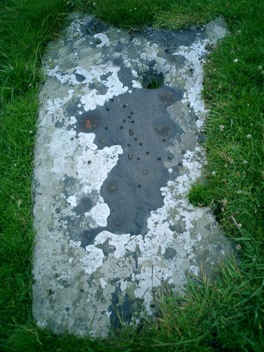
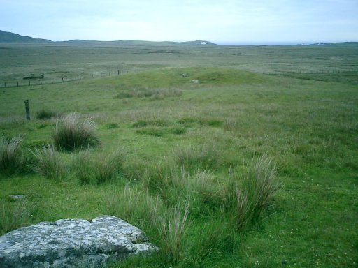
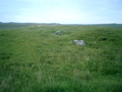
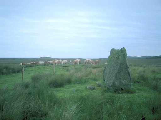
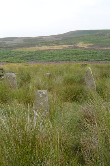
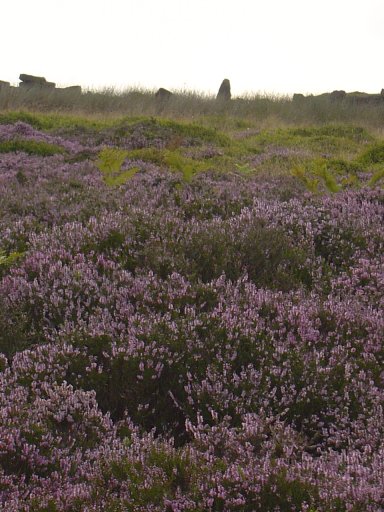
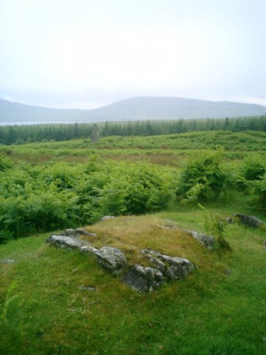
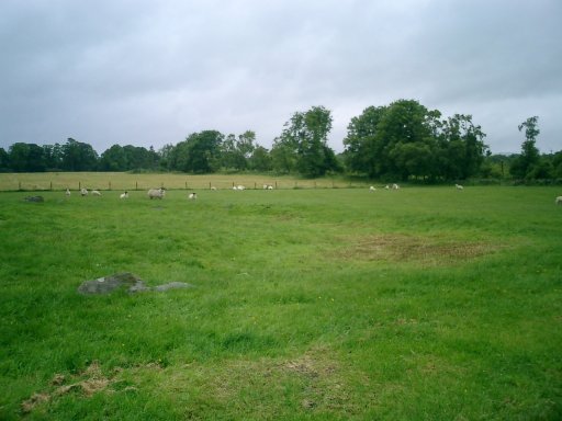
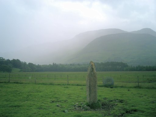
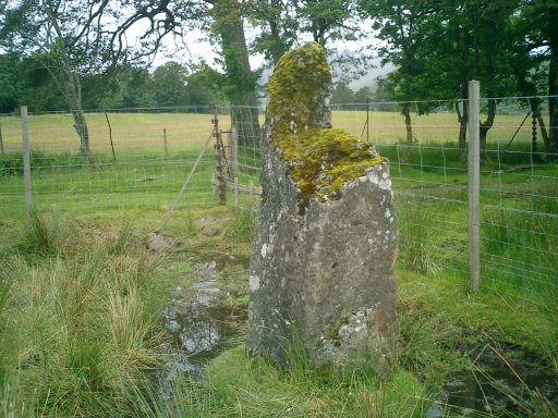
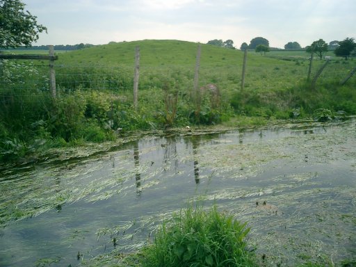
Second time lucky I managed to find this place, no mean feat as it is not listed on the OS map. From White Wells we took the path leading upwards towards the crags. The path breaks into two and the left hand one should be followed. This takes you through a small rock laden valley known as rocky bottom which runs parrallel with the overhanging crags. Once out of the valley another intersection of the path appears, take the left route and head down towards the stream which is known as Backstone Beck. Instead of crossing the stream, turn right and follow the path along it. After around half a kilometre you will come to a very distinct cup and ring marked rock slap bang in the middle of the path. A little further on over the beck on the left hand side you can see the remains of an ancient enclosure. To the right about 50 yards across the heather can be seen what looks like the remains of an old sheep pen. It is here, within these walls that the circle can be found.
A sight for sore eyes indeed. There is debate as to its authenticity and indeed it is unusual in its setting. Why would a circle be enlosed by a sheep pen? But after hearing stories of this mysterious circle, only recently discovered on the moor, an antiquarian trip to the moor could not be complete without attempting to find this place. Especially as by following the route given above the weary traveller could continue along the same path towards the much more famous Twelve Apostles situated much higher and further into the moor.
|

|

|
 
|

|

|
 
|
  
|
 
|
 
|
 
|

|

|

|

|
 
|
 
|
 
|

|
|
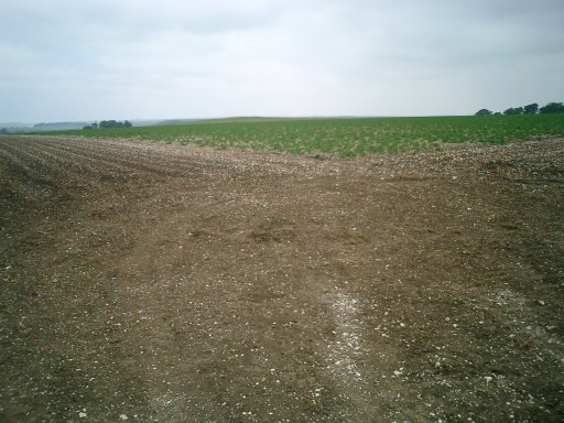
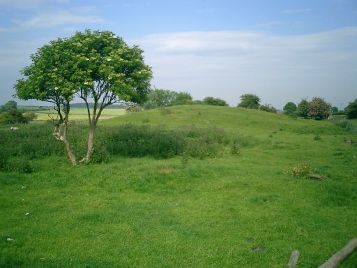
On then to Southside Mount, which in its day would have been much more than just a grass covered mound. Its proximity to beacon Hill means that it would have easily been seen from there. It too would also have had a view of the monolith at Rudston and like its neighbour opposite, its view is also obstructed by a copse of trees. To get there we had a short hike of not more than half a kilometre from the road. The mound was easily found with the help of our trusty OS map nestling in the middle of a fledgling potato field. I was glad we found it so easily, we dodged our way through the crops and clambered onto the grass covered dome. Someone had been there before us, doing what I don't know but the grass was all flattened so make your own conclusions.
|
 
|

|
 
|
Our nest stop was the tiny village of Foxholes which according to the map in the TMA, the source of the stream is. My companion entertained us with stories of his youth on the way there. He entertained us with recollections of boredom, staying in the village whilst on holiday as a youth. The highlight of his time being a trip to the now non-existant mushroom farm. Indeed there isn't much of Foxholes at all apart from the supposed source of the Gypsey Race that is.
Alas even this boast is not entirely true. The race merely disappears underground at the village only to re-appear along the road to Weaverthorpe a couple of miles down the road. There is much more to the complex of the Gypsey Race than meets the eye, namely Duggleby Howe one of the largest neolithic barrows ever found in Britain. It is the Howe that really marks the start of the ceremonial centre of the Gypsey Race for its true source is only a short distance away in a thicket on the outskirts of the tiny village of Wharram Le Street which in turn lies next to the ancient and abandoned village of Wharram Percy.
|
After a quick clamber up and then down we decided upon one last port of call. A trip down the Wolds way to see the Kirkheads and the site of the Folkton Drum Barrow, which according to the TMA, could be aligned with Beacon Hill over eight miles away.
There is nothing to see, we followed the Way and were rewarded by some really quite beautiful scenery but the fields were far too full of crops and ploughed out to see anything at all. We headed to the Camp and then back again, I suffered sunburn and my companions hayfever didn't get better. The walk was wonderful though and the area and shape of the hills and valley floor reminded me very much of the Uffington White Horse and the Manger below
|
Danes Dyke is a fantastic structure. Whether it had anything to do with the people that built the centre around the Gypsey Race I have no idea but I do know that this is a great place. The Dyke literally cuts off Flamborough head from the rest of the mainland and even now the size of it leaves you in awe just thinking of how someone could have constructed such a thing.
We are lucky that these days, parts of the Dyke are protected as a park and you can walk along it to its end. We parked up and did just that, the Dyke is huge when you walk along side it and then when you reach its end the view of the coastline is so fantastic. A worthy trip in anyones book and had we not had only one day left to explore as much of this area as possible I would have loved to have walked its length.
|
There is much more to the complex of the Gypsey Race than meets the eye, namely Duggleby Howe one of the largest neolithic barrows ever found in Britain. It is the Howe that really marks the start of the ceremonial centre of the Gypsey Race for its true source is only a short distance away in a thicket on the outskirts of the tiny village of Wharram Le Street which in turn lies next to the ancient and abandoned village of Wharram Percy.
Duggleby Howe can easily be seen on approach from the village of Duggleby. It stands dominant on the brow of a hill overlooking the village. Alas its true majesty was disguised slightly by the wheat that was growing around us. My friend Andy had been suffering from hayfever quite badly all day and during the walk through the field his sinuses were giving him some serious problems. I'm sure the joy of reaching the top of the Howe was worth it despite his agony. I consoled myself afterwards with the thought that the tears streaming down his face were those of joy rather than the results of the pollen bombarding his senses.
|
|
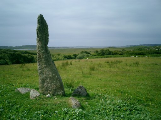
From Willy Howe we headed to the gorgeous village of Wold Newton. Here the Gypsey Race flows freely and indeed supports a rather nice duck pond in the centre of the village. Our plan was to find the Wold Newton Barrow otherwise known as Ba'l Hill, a place identified in the TMA but only marked down as 'tumulus' on the OS map. Finding it was not hard. It lies in a field on the outskirts of the village it can be easily reached by going through a gate at the end of the street and following the race all of 50 yards to it. The Hill is not spectacular but I enjoyed being here much more than Willy Howe. The race in full flow and in such close proximity made it a bit more special. I could have done with taking a rest and enjoying a cup of tea of its summit however that would have involved forward thinking and I'm not great with that. From the top of the mound, its neighbour Willy Howe's tree covered summit can easily be seen.
|
|
From Burton Fleming we made our way to Willy Howe, a tree covered artificial mound, which had been hollowed out by excavators in the past. The Howe is in a dominant setting on the brow of a hill overlooking the race and can be easily seen on approach from the village. You can clamber through the thick undergrowth and onto the top of the howe but once you get there you are conforted with a steep drop into the middle. The place is totally overgrown and quite literally you can get into the belly of the mound where trees now grow.
|
Our next point of call was to see if anything remained of the Little Argham Henge. The OS map showed the henge as being in a supposedly easy to find spot at the corner of two roads on the Maidens Grave hill. Also the Gypsey Race runs straight past it. According to local sources burials had been discovered here within a triangular structure at least four trackways led to it over the wolds. Given its proximity to Rudston and it being in direct alignment with the monolith, one suspects that the place was once of great importance.
Alas, farmers and father time care not one jot for former influence. The Henge was a massive disappointment. It has indeed been totally ploughed out and there are no signs of it that I could see from the ground. Add to this the added disappointment of seeing the Race for the first time – totally bone dry and rather anti-climactic! Ah well I understood that the race could be free flowing in some parts and dry in others such is the nature of the Gypsey.
|
Of all the neolithic centres in Britain, one that has always held a special interest to me is the area built up around the Gypsey Race stream. Not least because the last place you expect to see a centre such as this is on my doorstep in the East Yorkshire wolds.
The name of the Gypsey Race also has certain romantic connotations. In the TMA Julian was told by a Bridlington book seller that the name of the river was such because it 'wandered around all over'. Whilst it does indeed meander all through this area, that is not really the reasoning behind the name.
A Gypsey river or stream is simply one which flows overland in certain parts and underground in others. At times of high rainfall the underground water levels from which the Gypsey survives breaks out overland and sometimes within a couple of hours a previously dry riverbed can become a raging torrent.
During the research for my trip to I'd come across lots of references to egends about the Race foretelling doom when in full flow. More references told me that the Race was only actually in full flow every two years or so.
I would suggest that to the Neolthic peoples who built there monuments around this river, this place was made ever more important because of the nature of the Gypsey. How amazing it must have been for the river to be suddenly dry and then because the underground water levels were full suddenly become a torrent. For a people who seemed to place great emphasis on nature and the 'Goddess' this life giving flow must have been a sight truly amazing to them. I don't see this river as being an omen for doom, rather a giver of life to be celebrated and not vilified.
|
Showing 1-50 of 189 posts. Most recent first | Next 50
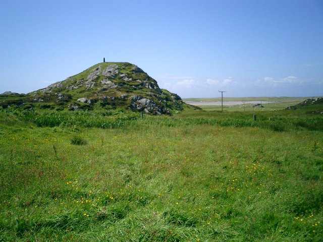
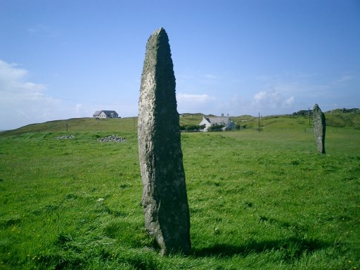
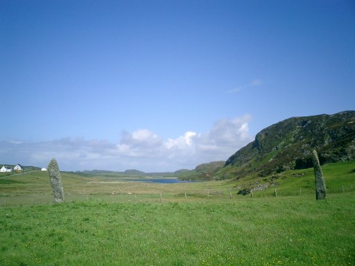
I enjoy touring and visiting all different parts of the country. Scotland holds special appeal especially the areas of Shetland, Orkney and the Western Isles.
|
| |