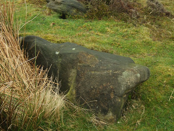
The largest stone remaining in the inner kerb.
Image credit: A. Brookes (2.10.2022)
The largest stone remaining in the inner kerb.

From the northwest.

The ring from the southeast, with the best-preserved section of bank in the foreground.
Looking across the site from just east of north. The stone in the foreground is no longer in the arc, but I assume it to be a displaced stone from the ring.

Detail of the best-preserved section of bank, with the stone at bottom left fallen inwards from the outer face of the bank. The little dot on the centre skyline is the Eagle Stone.
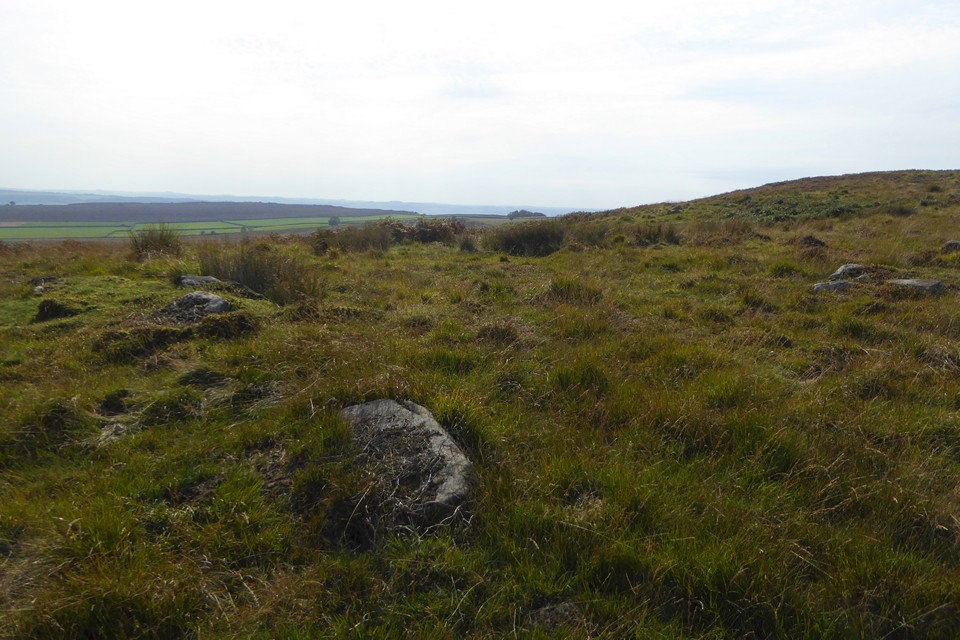
Looking along the best-preserved section of bank at the northeast. The distant hill on the skyline is (I think, but could be wrong) Brown Edge/Totley Moss.

The northeastern arc, looking north over Big Moor. The largest stone in the earlier TMA pictures is currently hidden by the tussock of reedy grass on the left.

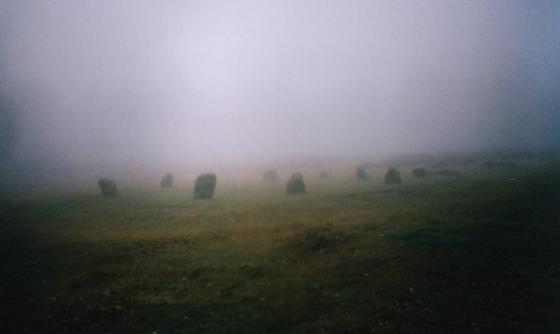
Looking across the ring cairn from the southeast.

The southern arc. The dry weather has exposed a decent amount of visible stonework along the outer edge of the bank.

Looking southeast across the ring cairn. It’s not an easy site to make out from this side, but the clumps of heather in the foreground are on the western line of the bank.

A slightly wider angle view than Stu’s with the cairn’s ring running from upper left to lower right.
Large distinctive slab-like stone – helpful for finding the site

Looking southeast along the bank

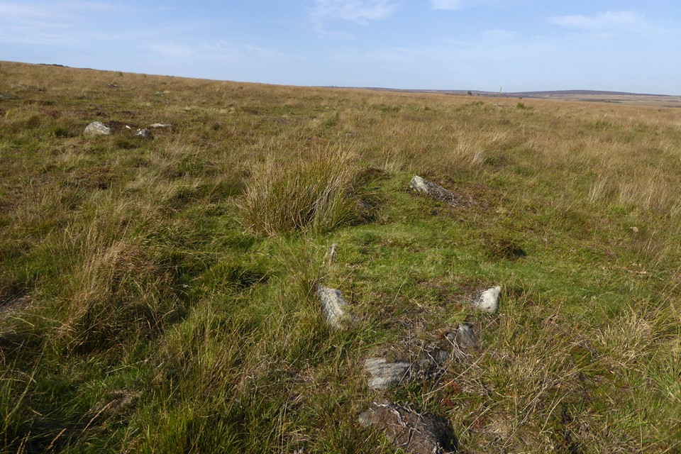
01/06. The section of surviving bank and kerb stones.

04/02
Not an easy site to find but what’s left of it becomes recognisable once you know where it is. The outer three large stones are the most obvious things to look out for then the bank which seems to measure a couple of metres wide with a large stone that may well have formed part of an inner kerb. It’s a shame that the site is so damaged as it could have been an impressive place. I’ve got an OS ref of SK2696075154 which puts it just a shade to the right of the circle marked ‘enclosure’ on the OS 1:50000 map. There’s a load of (clearance?) cairns and rocks of the Swine Sty field system as well as a handfull of barrows to the northeast.
The ring cairn is disected by a number of old packhorse routes and only a section of the bank and 4-5 kerbstones remain in the SE sector of the monument.
Nothing exciting but the settlement at Swine Sty is only a coupla hundred metres or so away.
From “Rock Around the Peak” by Victoria & Paul Morgan:
“Part of an extensive cairnfield, Barbrook V is located to the west of Barbrook I, on the other side of the Bar Brook stream.” ... “It has been badly damaged by a packhorse track which cut through the centre in the Medieval period. Only half the bank to the south-east remains.”