|
|
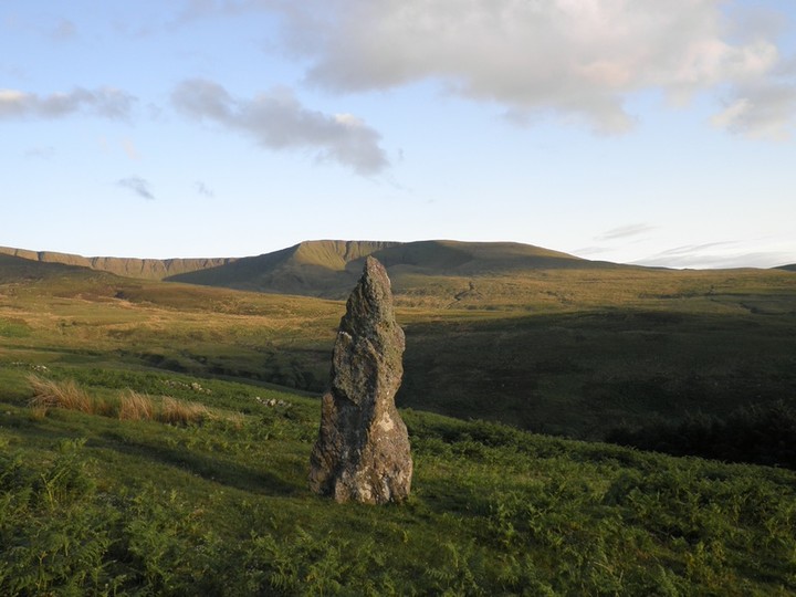
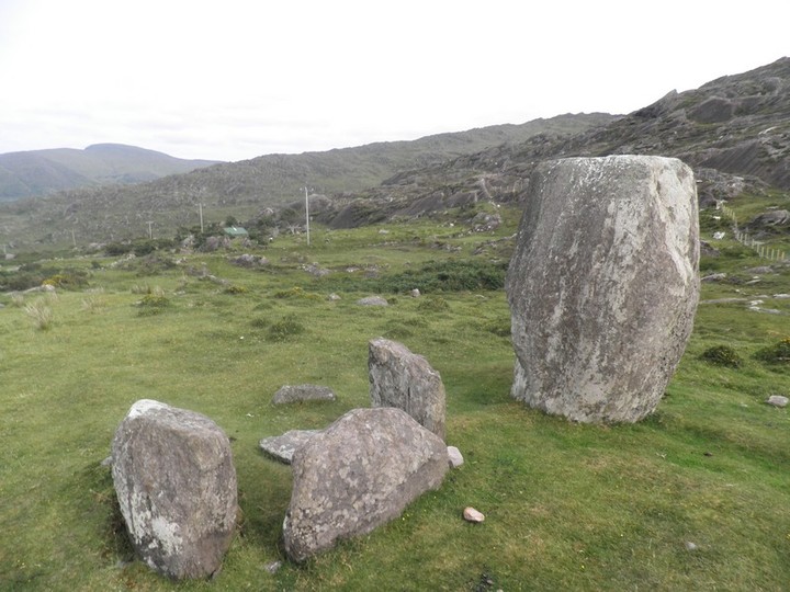
Another site in impressive surrounds. This standing stone at the end of a road that is a cul de sac up in these mountains. There is a viewing sport with a carpark and the stone is less than 500m from the standing stone. I understand there is some very beautiful scenery in the hills around here for hill-walking.
|

|
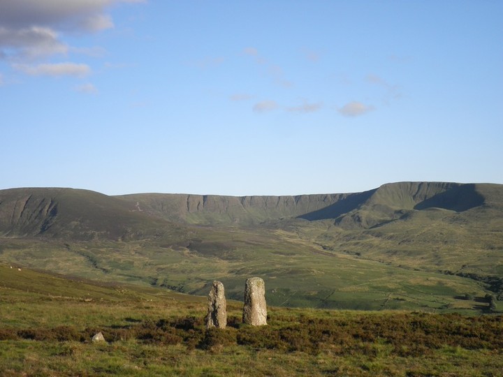
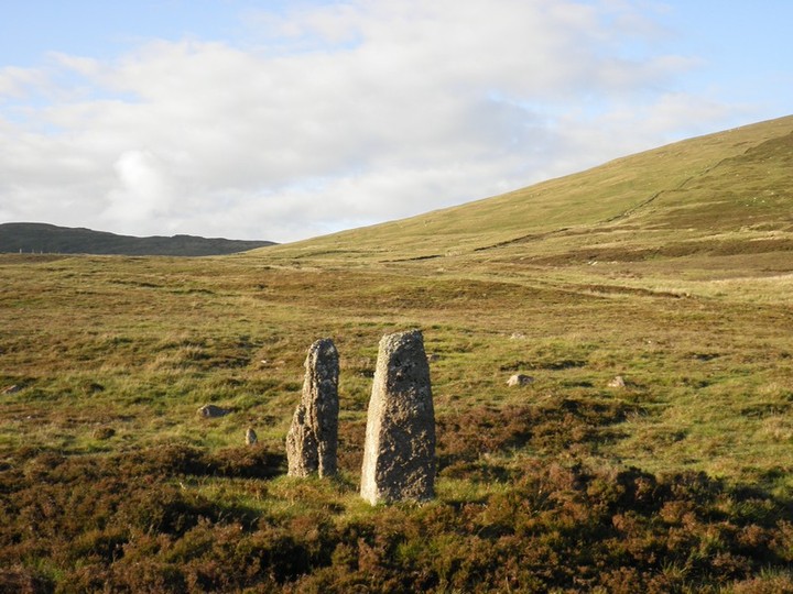
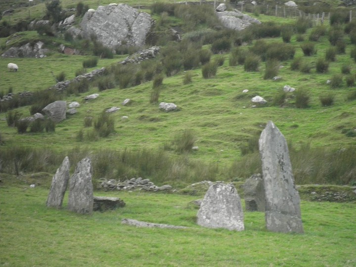
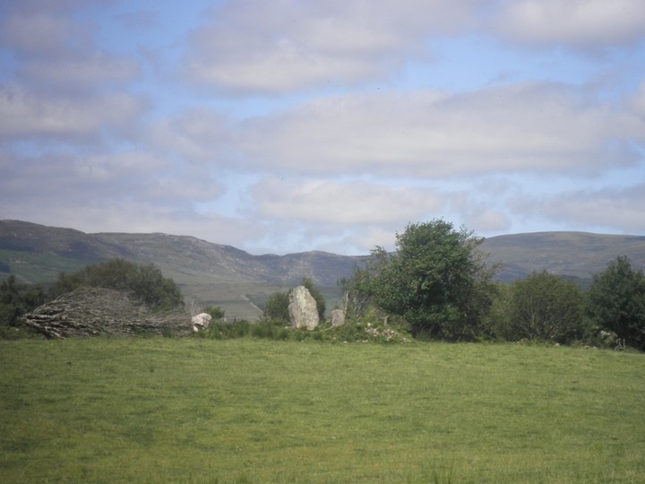
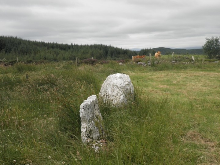
This impressively situated pair of standing stones are at the end of a track leading from a sheep farmers farmyard / house. This is real sheep farming company so not really the kind of place for bringing a dog.
The standing stones are both about 1.8m high. On fourwinds website it reckons it found signs of an unrecorded stone circle in the vicinity.
|
  
|
|
A small (in height) stone row of redish sandstone (I think). It may be that some of the height is lost in the bog below. It is signposted from the nearby stone circle.
|

|
This stone circle is situated in the beautiful Nire Valley. The Valley is a real hidden gem south of Clonmel town. The drive from the Bulmers factory in Clonmel over the mountains down into the valley is like being transported to another world only 10 minutes from (relative) civilisation.
There is a forest path all the way to the circle is it is easy to find. Im not sure if I would drive all the way in, I parked at the edge of the forestry and walked about 15mins to it.
This site seems to be visited quite a bit from the fire that had been made in the middle of it. You may not want to meet the people that did this.
|
  
|

|
Excavation at this circle showed that this was probably a circle of 11 or 13 stonees but not all the sockets were identified during the excavation.
The track here is part of the 'Old Green Road', I only walked the part here but if all the views are as breathtaking as up here it is a walk Id definitely recommend. There is a fabulous rock outcrop here with views down into the bay underneath.
|
 
|

|
As Ken says this stone circle is harder to find than it looks. I had been using the TME for directions and they are fine until you come close to it. There is no carpark or sign-posts. In fact at one track up it says the stone circle is closed to the public. I used the Kerry Way and then vered off towards it when I got closer. There were a number of cows up here when I visited so be wary of that.
The stone circle is fantastic and well worth the journey. Probably one of the best preserved in Ireland.
|

|
|
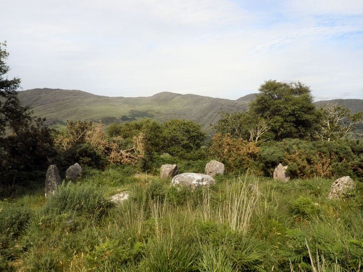
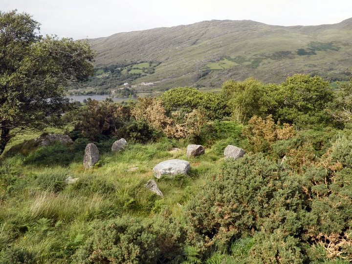
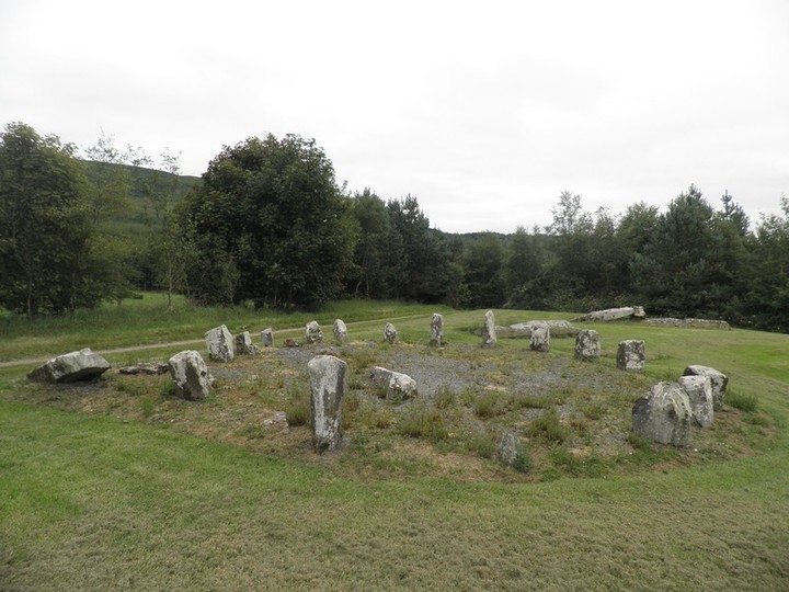
This stone circle is in the same national park as the more famous Uragh stone circle. However this is definitely worth the effort and is a fine circle in its own right. You can drive up the hill and there is a car-park for parking. Then walk up the step hill and there are homemade signposts for hut-sites and a few other things. For some reason they dont make much of a deal about the stone circle but follow the path and it is on it. The stone circle is far more hidden than the more outgoing circle down below it. You can see the lake from this circle and perhaps with the trees the view would be more impressive.
|
 
|

|

|
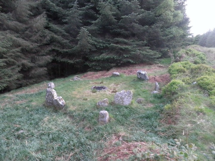
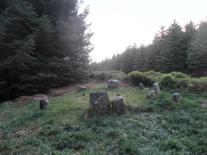
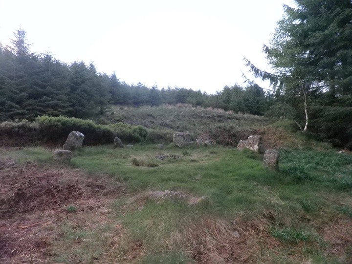
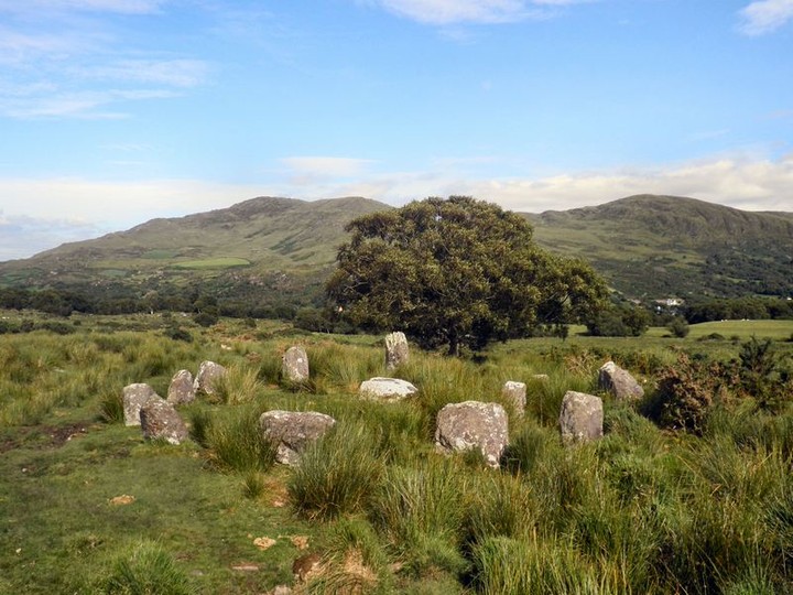
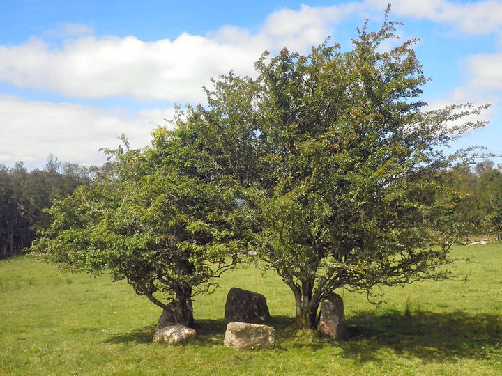
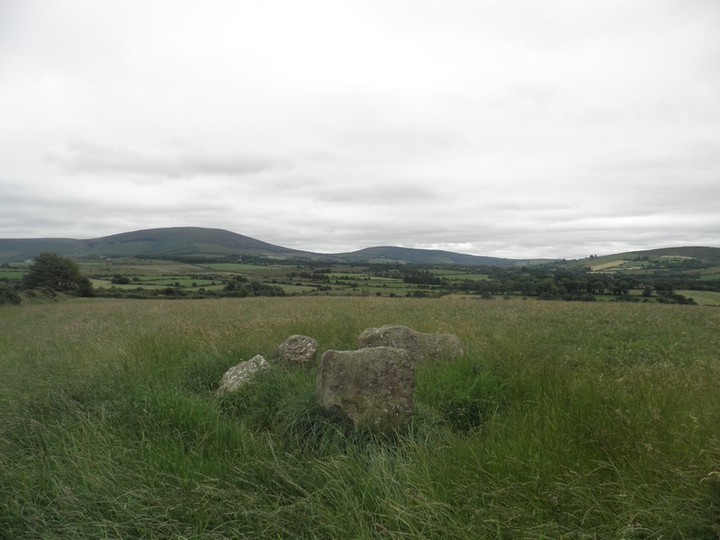
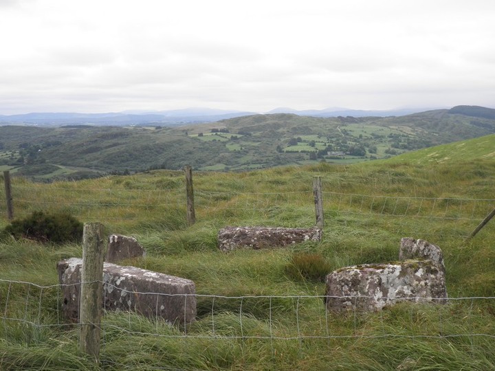
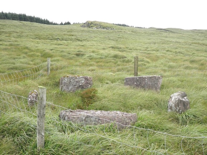
This little 5 stone circle is located over some boggy / heathery terrain. However there is a track that takes you practically the whole way if you can find it. I found it on the way back.
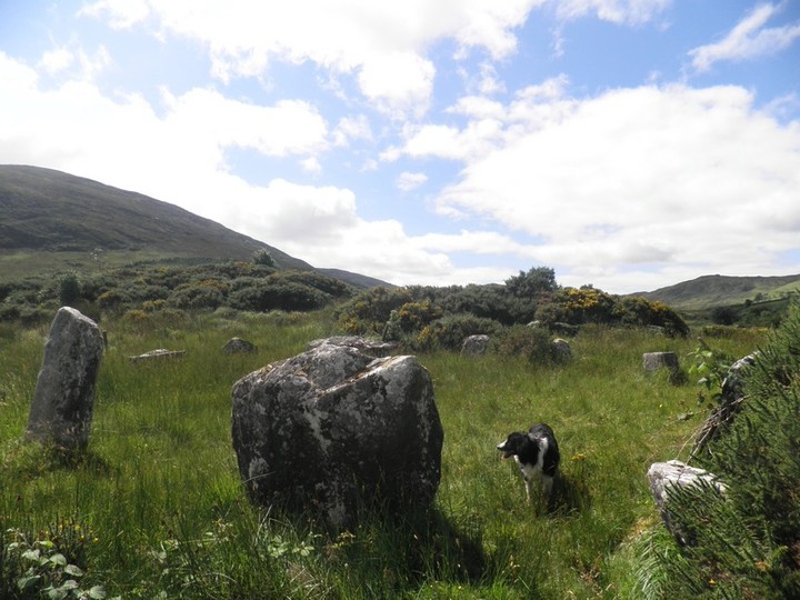
As you can see the circle is on grassland and when you spot the grass north of the bog you know you are getting close. There is a stone row to the north east but I didnt investigate this because of cows in the field around it.
|

|
 
|
|
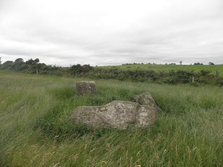
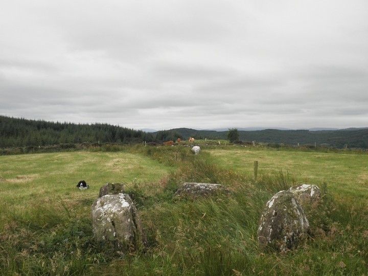
This stone circle is easy to access being only two fields from the road. It is a small 5 stone circle which Jack Roberts states has a possible winter solstice alignment.
|
 
|
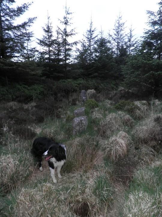
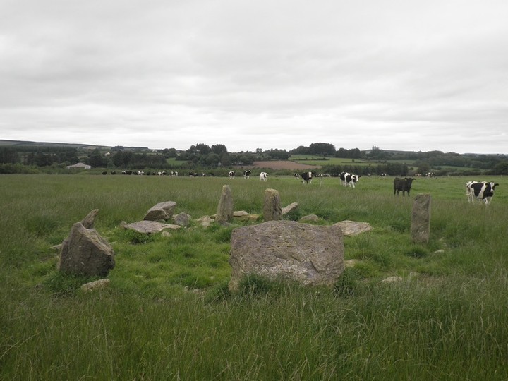
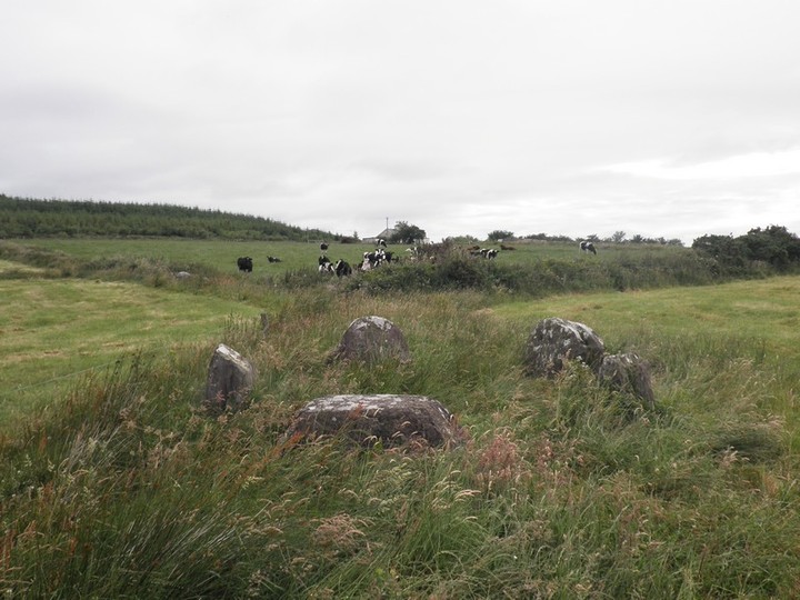
I can only agree with Ken here and his warning about the animals in this field. This is unfortunately in hindsight as I hadnt read it before I visited.
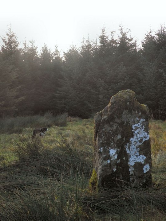
I was even more foolish and brought my dog Ned with me. There were bullocks in the field very near to the circle but an electric fence kept them out of the stone circle field. Me and Neddy made it through to see the circle but on the way back out they became very boisterous. Neddy got scared and wouldnt move. I eventually got my dog to move and walked along the track with a thin electric fence protecting us from bullocks on each side of it. It looked very old and I wasn't even sure if it was turned on so it was pretty nerve wracking.
I don't know if Indy had these kind of problems!
|
 
|
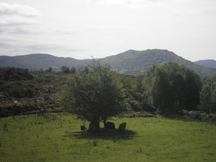
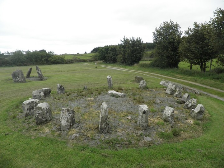
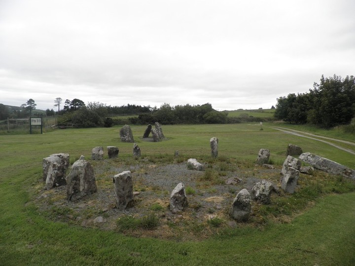
I didnt realise that this was situated in a park. Looking at the layout of the lands around it on the OS map I thought perhaps it was on an old country estate. I actually came at it from the rear where as luck would have it a service gate was open.
However I as I wasn't sure about how much it cost to get in or if I was about to be found out and thrown out I didnt feel very comfortable here.
I think if I had paid my entry fee and approached from the front I would have enjoyed trying to figure what the hell was going on with this circle and stayed around for a lot longer.
Ken Williams post gives you pretty much all the info you need on this one.
|
  
|
|
This is a lovely stone circle hidden away in trees at the back of some farm sheds. Not far from the easy to find Glantane East there is a long lane (with a gate) to an old farmyard. The stone circle is to the rear of this.
|

|
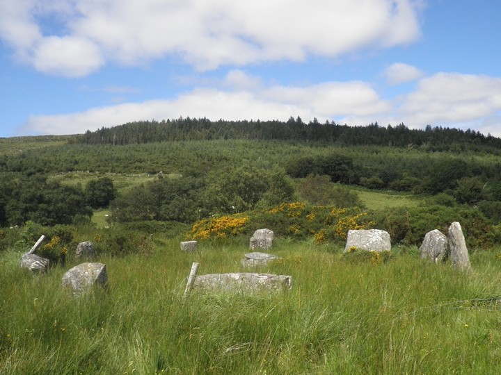
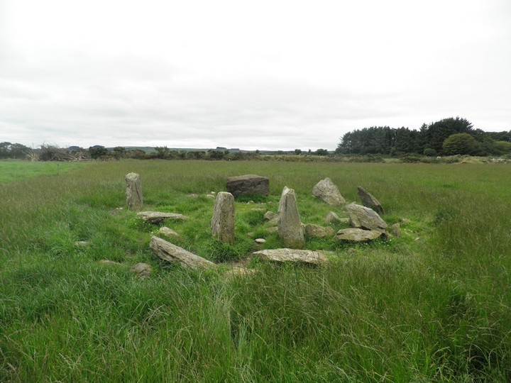
This again isnt far from the village of Carriganimmy. Access is made easier now with the building of a wind-farm in the area. You can follow the new track of the wind-farm quiet close to it. However the area is pretty marshy so bear that in mind. I got fairly wet and it was the middle of summer when I visited. Even with the path it is one of the hidden circles rather than one that stands out in the landscape and so it can be tricky to find..
There is a fence around the stone circle which unfortunately makes taking a good photo of the circle tricky.
Jack Roberts states that this stone circle has a winter solstice orientation.
|
| |