Translated as Friaochs carn, it was the inaugeration site of the O'Connor clan in Connaught.
From Wikipedia
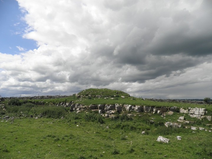
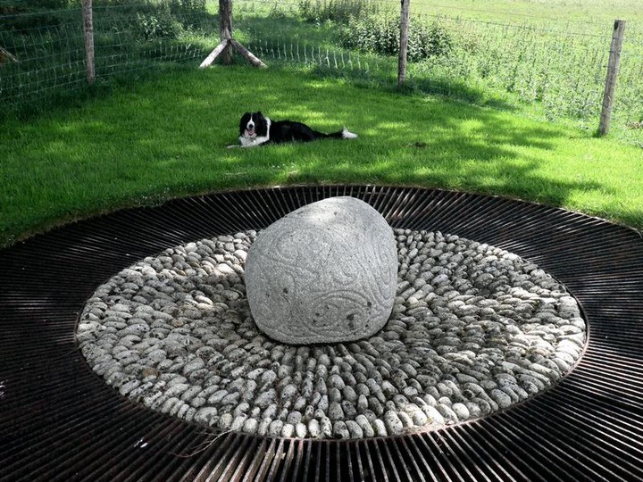
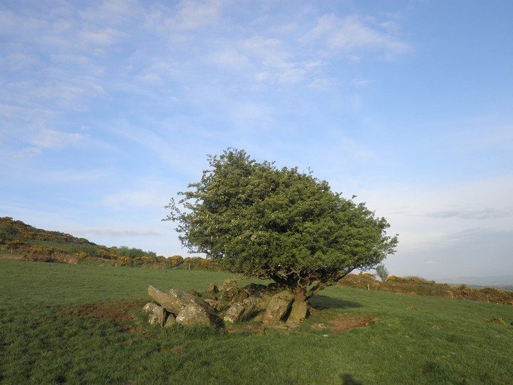
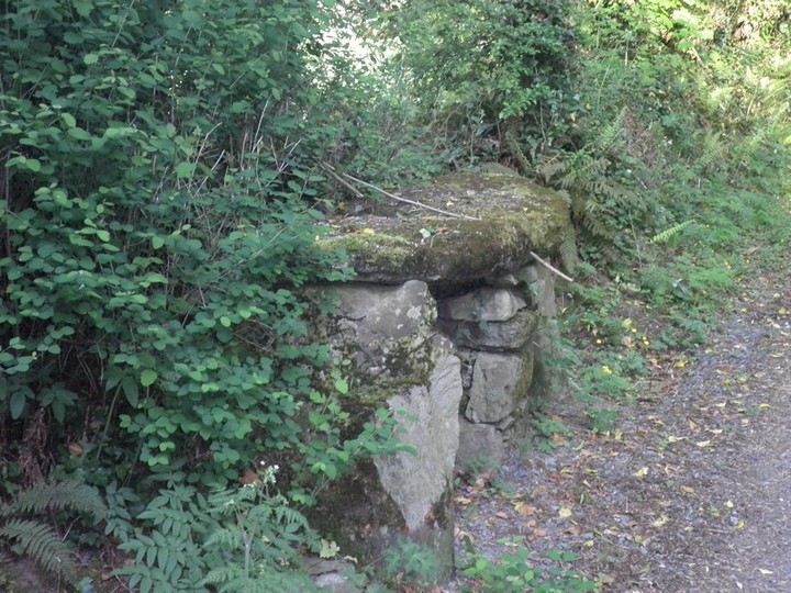
It is a small mound about one and a half meters high that sinks slightly at the top and is covered on one side by a dressing of stone. Up until the mid-nineteenth century a proclamation stone stood nearby that featured two sunken footprints, the stone now resides at Clonalis House near Castlerea.
Regarding the inaugeration stone archaeology.ie has this to say
When a portion was broken off the inauguration stone of the O'Conor kings at Carnfree (RO028-69001-) it was moved to the avenue of Cargin House near Tulsk c. 1840 by Daniel Kelly to prevent further damage by quarrying at the original site (Jones 1922-3). It has since been moved to the grounds of Clonalis House in the 1970s, although its authenticity is doubtful (FitzPatrick 2004, 113-5). Roughly rectangular limestone block (dims. of base 0.8m x 0.4m; H 0.45-0.55m) with a subrectangular upper surface (dims. 0.9m x 0.35-0.6m) which has an oval hollow (dims. 0.3 x 0.1m; D 0.7m) divided in two by a ridge at the base to represent a footprint.
|

|
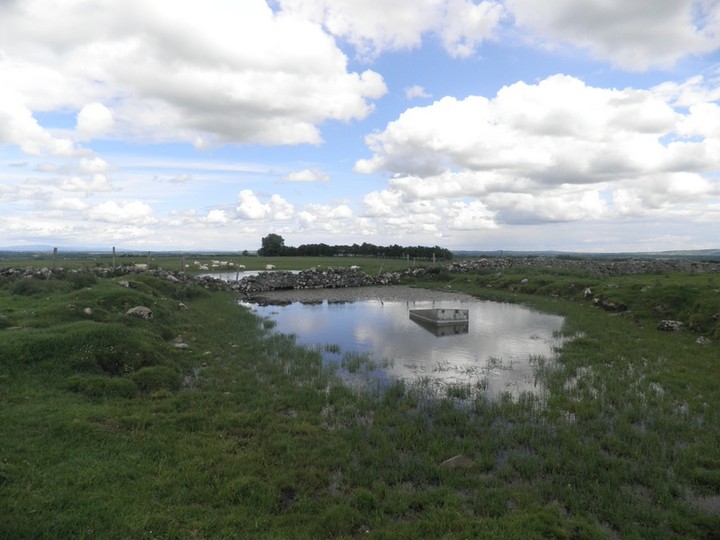
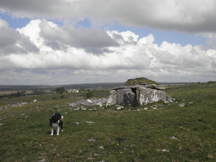
Here is an aerial view of the bowl barrow and the unusual water feature to the west of it.
http://binged.it/12Efrjy
Taken from archaeology.ie
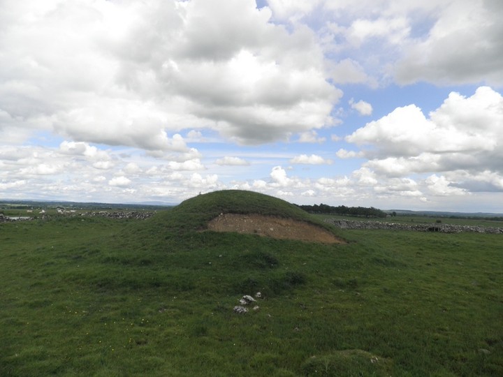
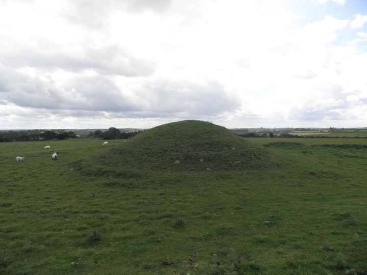
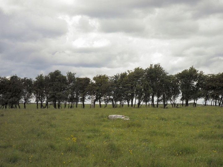
On a slight rise of the broad WNW-ESE ridge of Carnfree. It has been re-identified as Carn Lamha (FitzPatrick 2004, 65). Circular, conical and grass-covered mound (diam. of base 16m.3m N-S; H 3.5m) surrounded by a slight berm (Wth 1-1.2m) and fosse (Wth of top 5.5-9m; D 0.3m) (max. ext. diam. 35m N-S). There are also slight traces of an outer bank S-W, but this may be a field bank. The barrow is contained within a triangular area defined by field banks of the field system (RO028-056----). Ditch-barrows (RO028-071----; RO028-072001-; RO028-073----) are c. 60m to the W, c. 60m th the SSW and c. 90m SE respectively. (Herity 1983, 126-7; Waddell 1988, 15-6)
|
  
|
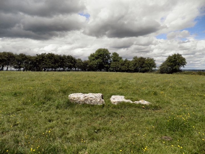
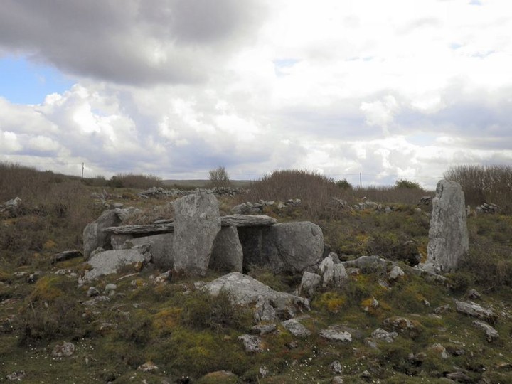
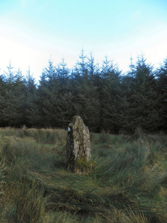
Broken & fallen standing stone.
From Archaeology.ie
At the crest of the N-facing slope of a WNW-ESE ridge, c. 250m N of the broad WNW-ESE ridge of Carnfree. A limestone slab (L 3.7m; Wth 0.35-1m; T c. 0.25-0.45m) is lying prone and broken in two, 40m E of the ring-barrow
|
 
|
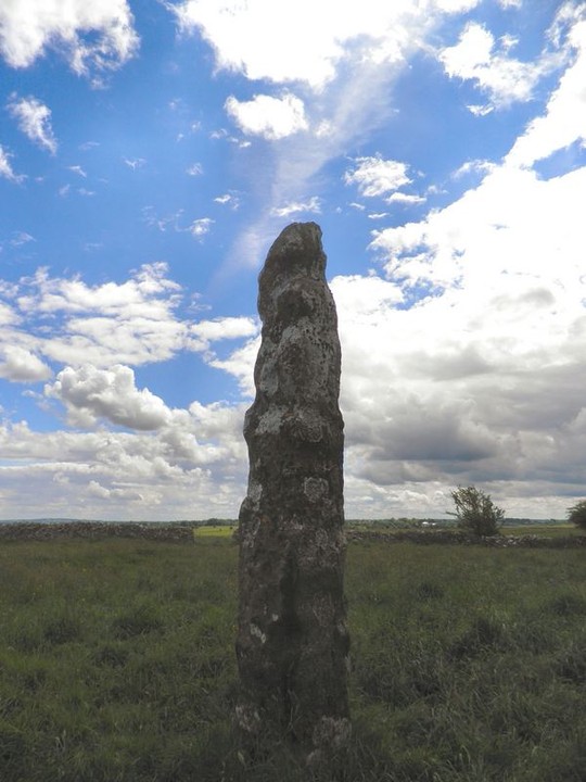
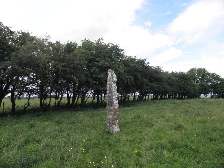
Taken from Archaeology.ie
At the crest of a N-facing slope of a WNW-ESE ridge, c. 250m N of the broad WNW-ESE ridge of Carnfree, and a little S of the centre of ring-barrow (RO028-068001-). Limestone upright with a rectangular cross-section (dims. 0.5m x 0.4m) which expands over the grass-line and is aligned E-W. It has a pointed top (H 3.2m).
Also known as Cloch Fada na gCarn or the longstone of cairns, it rests within a barrow. On the wiki page for Carnfree http://en.wikipedia.org/wiki/Carnfree it compares this barrow and standing stone with some of the features on the hill of tara.
|
 
|
Although this site is on private property, it has an information board etc and as such I would think that there is no issue with access.
If you happen to be going from Athlone to the Northwest this is a nice place to stop off on the way. It is one of only three la tene style stones in ireland.
It was not found near any other sites and with very little context so you have to wonder where it came from.
|

|
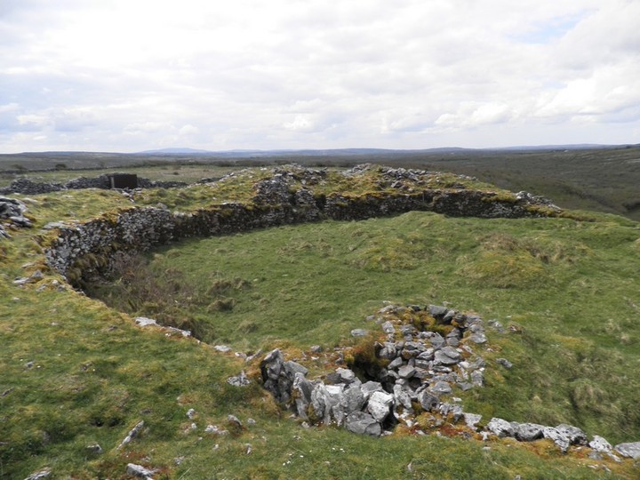
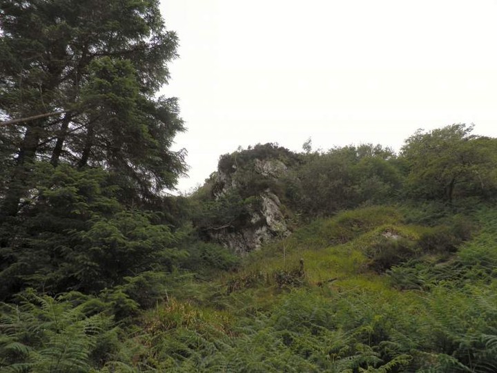
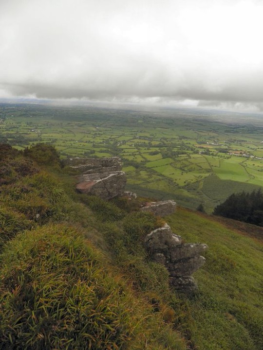
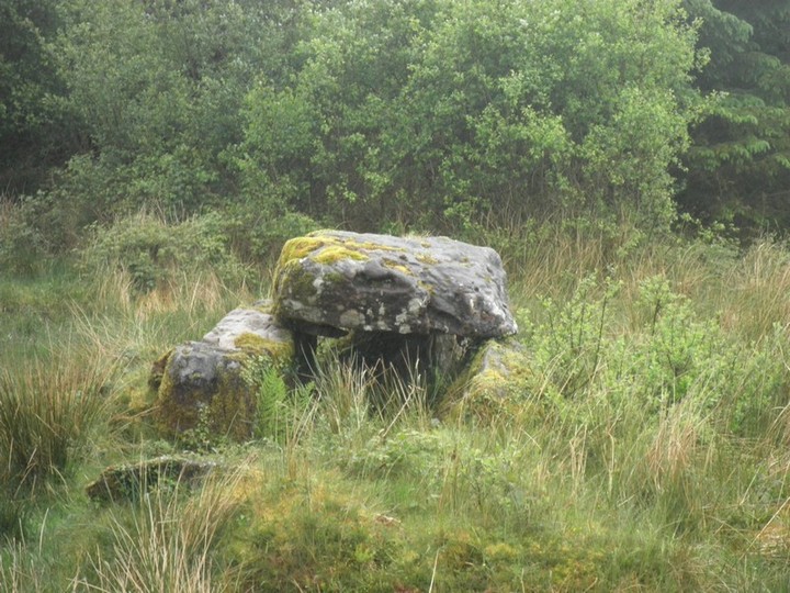
I have to agree with Ryaner below about this being one of the most impressive sites in the Burren.
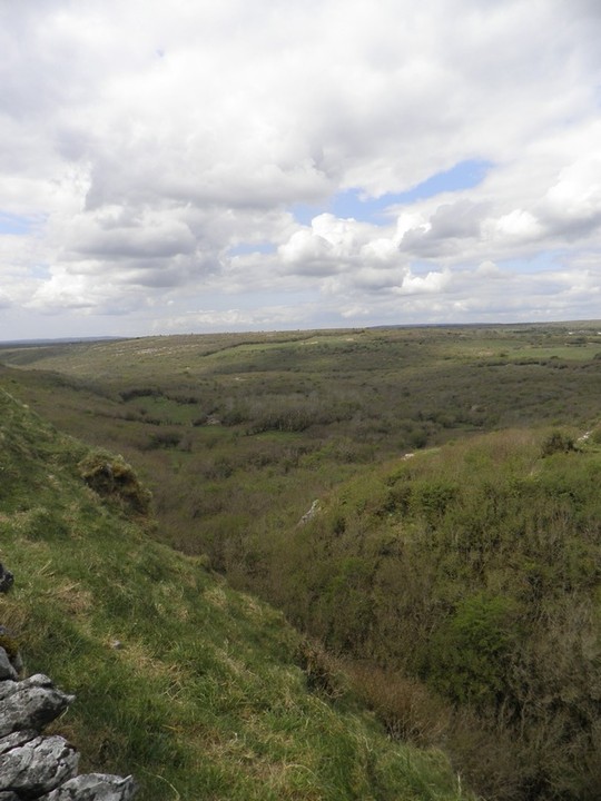
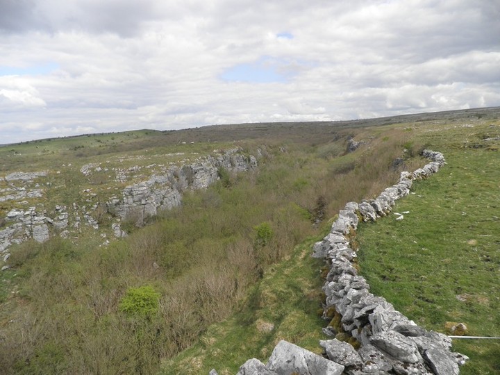
It is similar to Dun Aeognus on the Aran Islands in that it uses a cliff face as a natural defence to the north.
Here is a link to an aerial view on Bing Maps to get a better idea of its plan http://binged.it/13C2kNd
I seem to recall that the valley to the north of it acted as an east - west transport link across the Burren so this would have been a controlling point on this route.
|
  
|

|

|

|

|

|
This site is described as "stone circles" in Topographical Notes on the Barony of Coshlea, Co. Limerick, including Lackelly, the Lake District, Cenn Abrat, Claire, Tara Luachra, &c. by
P. J. Lynch (1920) RSAI
Rev Lynch, who from his paper I believe only viewed photos of the "circles" described them as follows ;
"The discovery of the stone circles on the eastern end of Slievereagh induced some writers to identify them as the remains of the residence or burial place of Olioll Olum." we skip on to "When I prepared the first plan of these circles I described them as probably two concentric circles outside the remains of a dolmen or cairn. I have given the question further consideration and changed my opinion somewhat. I have completed the outer circle (about 45 feet in diameter), when complete, could have rested within the "Benches" while the second "circle" and the stones inside of it, mark the base of a cairn about 26 feet in diameter, enclosing the tomb, of which the inner stones formed part.
There is no "Cromlech" (marked on OS Map) on the mountain. There are several blocks of stone resting on the rocky surface of the mountain; but as Dr. Fogerty writes "if a Cromleac is something built by human hands, there is none""
He then goes on to give a plan of the stone circles. If anyone has access to JSTOR you can find the plan here http://www.jstor.org/stable/25514569?seq=17.
However from looking at the remains up there I would say that the best these circles could be is the kerb of a cairn. Even at that most of the stones up here look to be naturally placed rather.
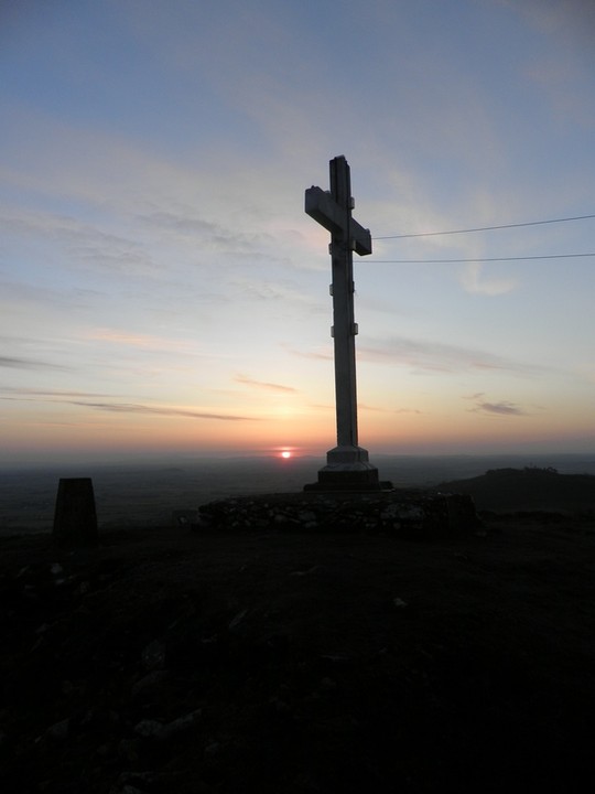
The notice board in Glenbrohane mentions that the "King's Chair" can be found amonst the rocks of the cairn. I'm not sure which stones they refer to but I've taken a photo of what I thought looked most chair like.
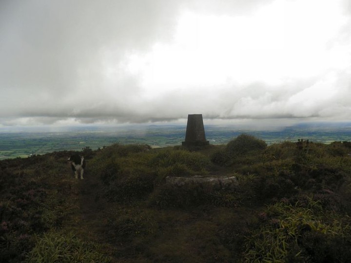
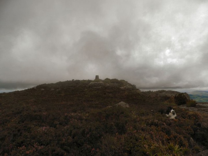
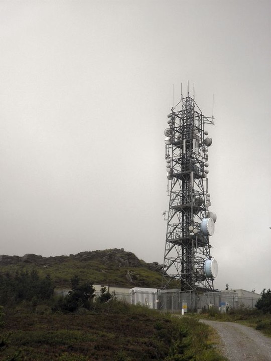
The walk to the top follows a marked path for a lot of it and then swings off on a forestry path up to the antena on top. Views from here are great into the plains of Limerick to the north.
|
   
|
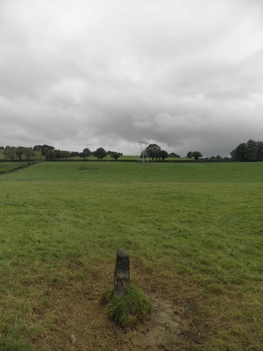
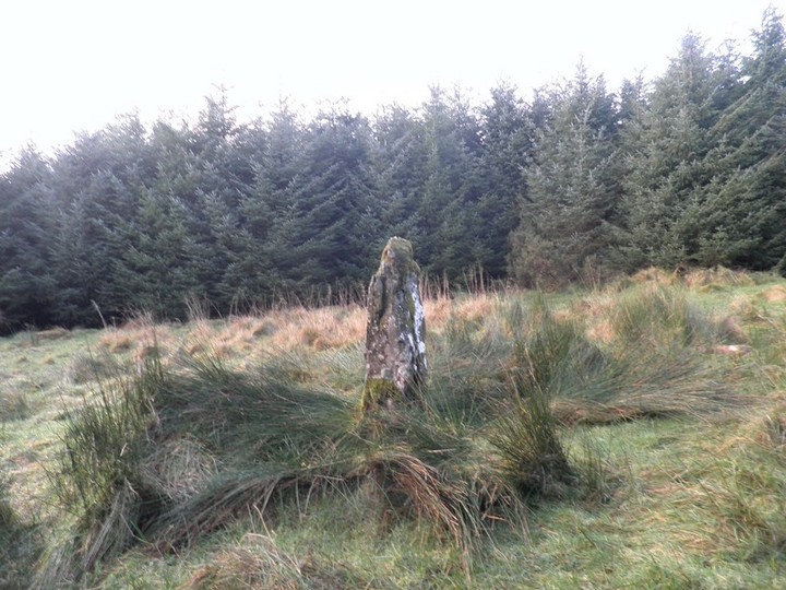
This standing stone is only about 400mm high and is very unimpressive. You would have to wonder about it possibly being a broken scratching post or something like that. The only thing in its support is the two larger stone in the vicinity.
You can just make out the pilon where the other stone is located in the distance.
|

|
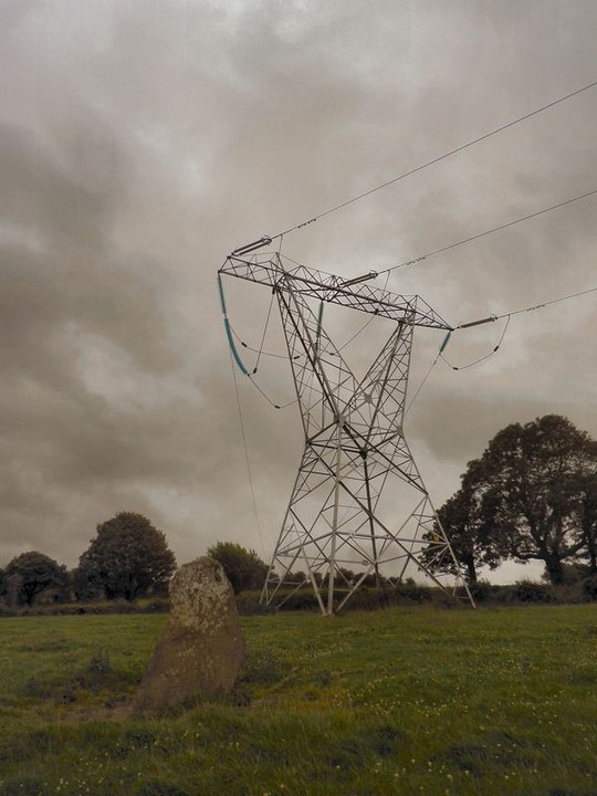
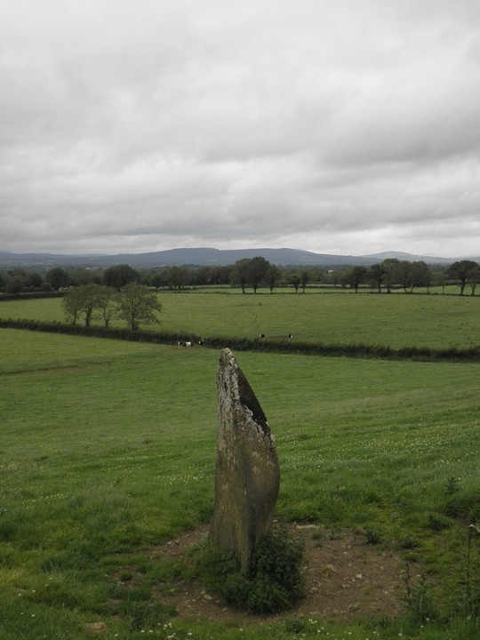
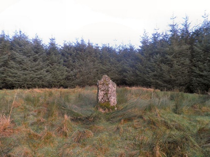
I spotted the other large standing stone in this townland by accident while driving by but did not spot this one until I saw it on Philip Powells website. Its a tall (approx 1.6m high) "sail shaped" stone.
The power- pilon above it is a real contrast. Surprisingly this stone doesnt appear on the either of the 1840s survey maps.
|
 
|
I always thought I knew about a lot of the limerick having travelled most by-roads looking for stones and also driving around it with work.
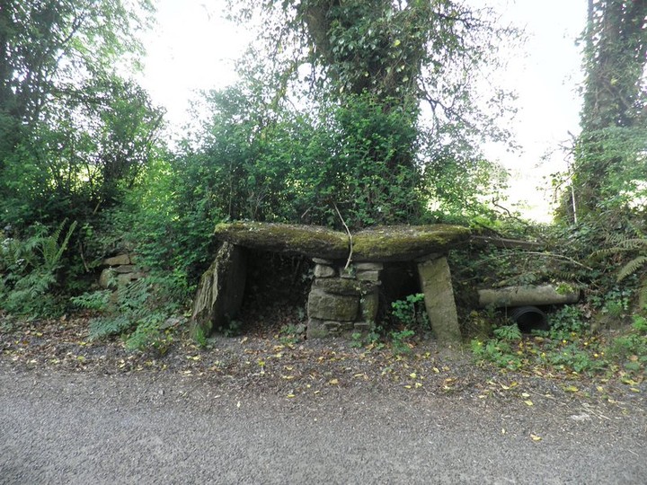
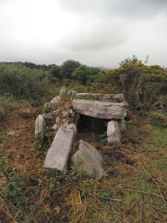
However I never spotted this "megalithic structure" as it is described on www.archaeology.ie until i saw it on Philip Powells website.
It looks like the remains of either a cist or some part of a megalithic tomb. Locally its know as the cromlech. However even the local information board located in Glenbrohane gives very little info about it other than US Ambassador Jean Kennedy Smith visited it in 1997! Hope they took her to see a few other sites as well.
|
 
|
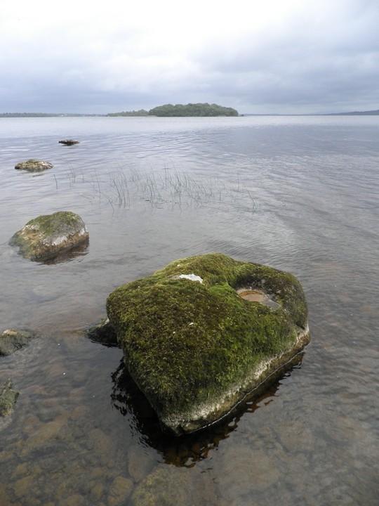
I was under the impression that this bullaun stone had only been rediscovered in the last few years. However this map http://www.visitclare.net/gfx/HImonastic.jpg relating to Macalister shows it clearly and I under this dates back to 1916-17.
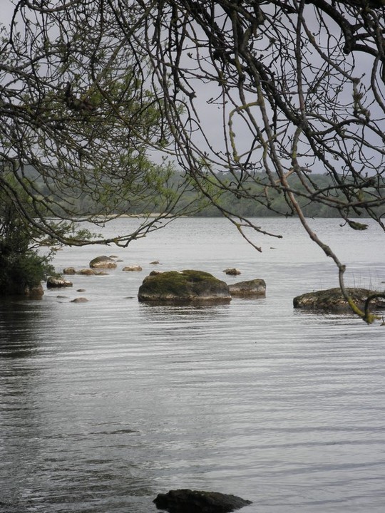
I've grew up on the other side of the lake and some of my early memories are of heading out to picnics on this island.
However it was only last year when I got a boat over, from local tour Mountshannon guide Ger Madden (he gave me a lovely tour pamplet to review which showed this bullaun) that I knew of this particular bullaun.
From the eastern landing site you will need wellies to walk along the shore-line until you come to this bullaun.
|
| |
