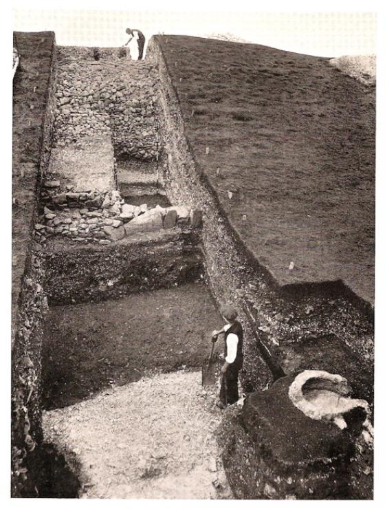
The barrow from the top of one of the barrows at South Down.
Image credit: Mike Rowland 21/04/11
The barrow from the top of one of the barrows at South Down.

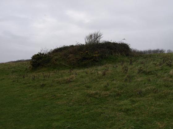
Round barrow seen fom the ridge of Southdown hill to the south.
One of a group of four barrows on the ridge of hills to the east of the south Dorset Ridgeway. It is to the east of Poxwell ring cairn and north of South down barrow cemetery.