Image credit: Chris Bickerton

Nine Barrow Down rises at extreme top right. Maybe there is some doubt as to the site’s qualification as a ‘sacred hill’... but there is no doubt it is very striking – looking positively artificial from some angles, even – and sits within a sacred landscape.

Corfe Castle from between two barrows on the western side of Corfe Common barrow cemetery.

Corfe Castle from Middlebere heath, to the north.

tump-ti-tump

View of Corfe Castle from The Rings

Overlooked from barrow at end of West Hill

Corfe Castle with its motherhill


Looking down towards Corfe Castle from Challow Hill (i.e. from the East of Corfe) – 7.9.2002

The mound, looking up from the main entrance.
Sat 17 July – Sun 1 Aug 11.00-16.30
The Castle, Corfe Castle
Children’s trail everyday, with main event on 27-31 July
Living history, hands-on activities, Bronze Age pottery, finds identification and meet a real archaeologist!
National Trust – 01929 481294
[email protected]
www.nationaltrust.org.uk
Event part of the Festival of British Archaeology – 17th July to 1st August 2010
by Paula Tegerdine of ‘This is Purbeck’ online
Wednesday 04 February 2004
Quietly hidden among the rolling hills of Purbeck is a unique and important archaeological landscape.
A report just published by English Heritage reveals the extent of earthworks, medieval field patterns and trackways at Corfe Common, near Corfe Castle.
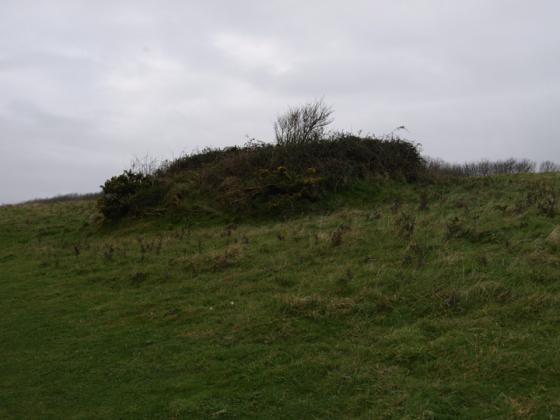
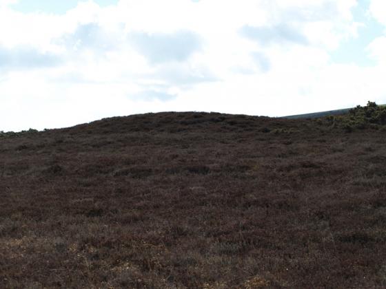
The area has attracted the interest of antiquarians for centuries because of its eight Bronze Age barrows (burial mounds).
English Heritage’s latest research has revealed another two barrows on East Common and identified other features showing how the land has been used for farming over the centuries.
An impressive prehistoric or Romano-British field system known as `Celtic fields’ were identified on the southern flank of the common. Read on here...
This is a beautifully bleak place. Its well worth the money to the NT to just have a wander round the ruins, and get the amazing views from the top. Prehistory wise there isn’t that much to see except the mound itself and at least 5 barrows within view from the top.
The whole area does oooze of the ‘mother spirit’ however and its not hard to imagine this hill being revered, standing solitary as it does between the two huge banks, that seperate Purbeck from the world.
Traditionally Edward The Martyr was killed here by his wife Elfthryth, before the castle (that we see now) was built. So most likely it became a place of pilgrimage. Or perhaps the story pre-dates the event and so does the site.
Once going there I undertook the steep climb to the nearest portion of the bare hill on the other side of the road from the castle itself. Despite the meagre evidence about me I could not shake the feeling that this was the prior site in this vicinity, only later being purposely slighted by the building of Corfe Castle opposite. I too felt the presence of giants two, only mine were lying down head to head chatting, their bodies going down the respective hills .
An excellent place to appreciate this womanly view is at the Scott Arms (raised up on a hill opposite, further into Purbeck) with a pint of beer in your hand (check it on the ‘facilities’ menu). Also I can vouch for their puddings.
If like me you’re wondering, “why is a Norman castle on this Web site?“, the missing bit of information is a referrence to the castle mound (not the castle itself) in the Modern Antiquarian book:
“Crossing Middlebere Heath, the mound of Corfe Castle rises up between its two hill ridges like a divine Mother hill. When I visited Corfe Castle in May 1996ce, I saw that the castleless mound had once represented the Mother lying on her back, the East Hill and West Hill representations of the open legs and the central mound as great clittoris, womb and belly all together.”
Thanks to Holy McGrail for pointing this out. I must read the book from cover to cover ‘cos I keep missing these things!
I came across this and I think it is just lovely.
Flickr (Philip Male) Corfe Castle sunrise timelapse video
Nice aerial picture, and a little bit of info.