
Landscape context – Godrevy barrow is on top of the prominent headland, left of centre. From Gwithian beach.
Image credit: A. Brookes (19.6.2021)
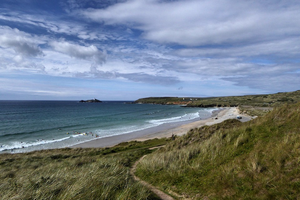
Landscape context – Godrevy barrow is on top of the prominent headland, left of centre. From Gwithian beach.
Landscape context: Godrevy Point from Gwithian Towans. The barrow is on the headland, centre of image.


The barrow’s knackered northwestern profile.

Looking SSW towards the mouth of the River Hayle.

Looking southwest across St Ives Bay towards West Penwith.

The barrow from the southeast.

Showing how the barrow has been practically cut into sections.

The excavation trench crossing the barrow. St Agnes Beacon can just be seen on the horizon (top left).

Looking towards West Penwith.

The “worst” aspect of the barrow, where erosion has taken its toll.

The barrow is pretty mutilated, but location counts for a lot.

The barrow on top of its headland (centre), Godrevy Island (right) and West Penwith beyond (left). Seen from The Knavocks to the east.

...to the lighthouse...Godrevy Lighthouse to be precise...the inspiration for Virginia Woolf’s book of the same name.

Not actually marked on the map as a barrow but....that is what it looks like to me! The seaward side has dissapeared and a wall built through it. The whole mound is surounded by barbed wire to keep something out?
Great site to be buried!
Easilly reached from Gwithian Towans by NT road out to the lighthouse.
There is a definite barrow (marked on the OS 1/25000 as “tumulus”) on the highest point of Godrevy headland at SW 58124331. Finds were pretty impressive.
Pastscape description:
This prominent round barrow, 1.6m. high, is at SW 58124330. A narrow excavation trench cuts through it from N.E. to S.W.
Surveyed at 1/2500. (2)
A small Mesolithic flint-chipping floor was found beneath the barrow.
The finds which included a perforated mace-head, cores, microliths and scrapers, are in the collection of Prof. C. Thomas.
An A3 type penannular bronze brooch of the 1st to 3rd centuries AD was found during the trial excavations in 1950.
It occurred in the main traverse cutting near the SW circumference of the barrow mound, some 9 inches below the turf.
The hoop is oval with a maximum diameter of 2ins, having flattened terminals and two flattened mouldings below.
The brooch was placed on loan at Truro Museum but now appears to have been lost.
Extensive excavations were carried out at Gwithian/Godrevy during the 1950s. The excavations finds and records have recently been re-evaluated by Cornwall CC Historical and Environmental Service. Regarding Bronze Age occupation, here is an extract from the www.cornisharchaeology.org.uk website:
“For the Bronze Age sites (GMX, XI, XV etc) recent radiocarbon dates show that the earliest settlement dates to 1800 cal BC with cultivation taking place within terraced fields and enclosures. The true extent of these early fields is unknown but plough-marks were found scored into the earliest land surface revealing well-developed farming and horticulture practices. Barley was grown (Hordeum sp.). Land snails indicated a broadly open local landscape and fragments of marine shells found mixed into the earliest soils with other organic matter, shows active manuring and composting. The ground plan of a remarkable round wooden building – a probable single homestead – set within a stake-built enclosure was found. Another major phase of settlement (dating to c 1500 – 1200 cal BC) was marked by evidence for extensive cultivation, great areas of criss-cross furrows found in small fields, and animal husbandry. A number of human cremations were buried alongside field walls indicating ownership and a powerful bond with the land. The final phase of settlement, which dates c 1300 – 900 cal BC, is more complex in character. In areas where there had earlier been fields, a small nucleated village was established made up of circular post-built buildings. Some were dwelling houses but some were probably animal shelters and workshops. The land around was still divided into fields many of which had been laid out generations before. Evidence for a wide variety of industry and craft activities was found: pottery manufacture, leather and bone working, fishing and small-scale metalworking. The demise of this exceptionally long settlement history was marked by the abandonment of the village and its burial under tons of settlement rubbish. The Bronze Age story at Gwithian over perhaps up to 20 generations of farmers is very much a story of people and land.”


