
slight mound inside Marykirk where banks around chapel remains may be from a circular structure with ?8’ thick walls
Image credit: wideford
slight mound inside Marykirk where banks around chapel remains may be from a circular structure with ?8’ thick walls

Broch settlement mound seen from Ness of Brodgar


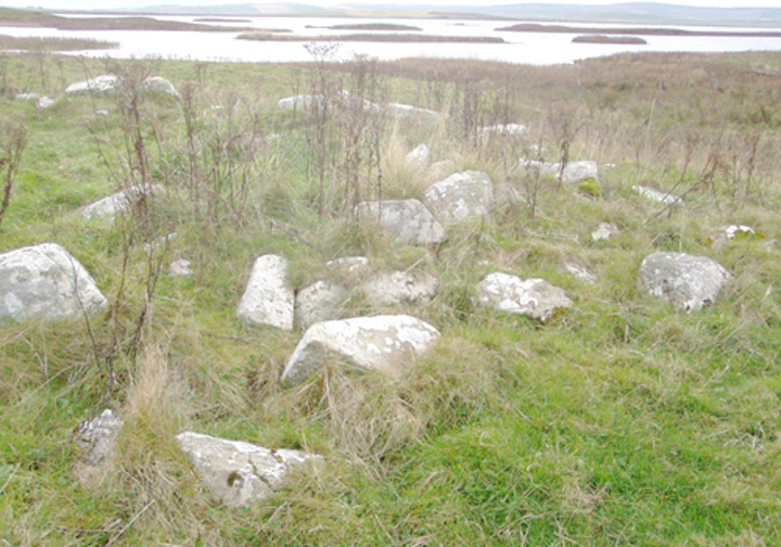
view into interior, behind several holms (small islets) visible in loch

looking ‘along’ section with most courses of wall remaining

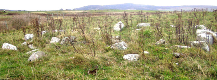
broch mound with Viewpoint hillock behind

from Stoneyhill road across broch to Ness of Brodgar – Watch Stone just visible at right
RCAHMS NMRS No. HY31SW 6
Recently I found the mapped remains of this accessible and so took the chance to investigate (at the time only the remains of St. Mary’s were shown on Canmap). This mound isn’t so prominent – more than a rise but less than a tump. There are two levels to it. The stones are on the smaller higher piece on the left. Mostly all that is left is the one course.


