
Knowe of Midgarth seen from Woodwick
Image credit: wideford
Knowe of Midgarth seen from Woodwick

ferry view of settlement mound/s

Knowe of Midgarth & mound seen from near Midland

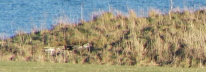
Knowe of Midgarth from A966 above with mound behind RH side

cairn looking north-east

N end walling of knowe
N end walling with entrance into knowe visible

Midland tumulus looking north-east

Midland tumulus from shore to the west

seen from main road
From the A966 head down towards Tingwall pier but take the LH road at the junction before this. By Midland looking to the near shore there is a long mound with a much smaller one a distance to its left. These are the Knowe of Midgarth (and cairn) and the Midland tumulus. There’s only a field or two between shore and road but I was on a tight schedule because of the time of year and having already spent ages at Tingwall. Also all I saw through binoculars was sere grass and turf – if I had seen the prominent stonework the camera saw and this had been summer I would have been in like a shot.
There are two sites at the Knowe of Midgarth, a long hillock adjacent to a circular mound [vaguely reminiscent of the ‘Viking’ mound and broch at the Howe of Hoxa]. Raymond Lamb says these two comprise a single settlement. Davidson and Henshall believe the former to be a “variant souterrain” like Castle Bloody (presumably the ‘gallery grave’ that used to be in Stromness parish, this term once e.g. used to describe Rennibister and Grain earthhouses) whilst P.O.A.S. VI in speaking of a grassy mound containing “sailor’s graves” is surely referring to the latter [ so ? like the “West Broch of Burgar”]. But all we know about the cairn (NMRS record no. HY32SE 1 at HY39872360) is that it is 100 yards SE of the hillock and has suffered a lot of plough damage but survives roughly four feet high and fifty across.
We are better served by the records for the probable [multi-period?] settlement, HY32SE 6 at HY39812361. A five metre long passageway at the west end leads to two sub-rectangular corbelled cells, the size only given as small.. The first is two steps down from the passage, and though probably entry had been gained by antiquarians through its roof this had been repaired. Slightly beyond the chamber a short south-east passage leads to a larger cell through a narrow access, now blocked. Since before 1967 entry from the SE has blocked up and the two cells are filling up with debris.
On the north side is the entry point for another passage that curves for at least ten metres before it is blocked. The shore nearby has a likely hearth consisting of four edgeset slabs that has produced charcoal. A trial excavation near the eastern top of the hillock has revealed yet another possible passage with maybe more cells, though this walling (way above the level of the north passage) consists of very overgrown stonework jumbled about. On this side of the mound facing the beach fragmentary masonry could represent a related drystane wall and there is kitchen midden along the eastern shoreline
To the north of the knowe the irregular Midland earth tumulus with small stones is thought to cover a prehistoric structure, though only one large-ish stone protrudes. HY32SE 7 at HY39732368 was slighly over half the size of the Midgarth tumulus (25~30m) but farming has removed a good deal


