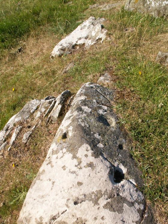
Cairnholy 09 in situ as at 08.03.14
Image credit: Mark Johnstone
Cairnholy 09 in situ as at 08.03.14

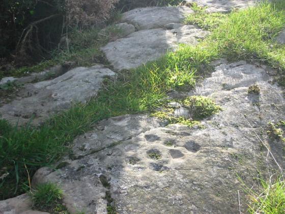
panel 9b
www.briankerrphotography.co.uk

panel 9b
www.briankerrphotography.co.uk

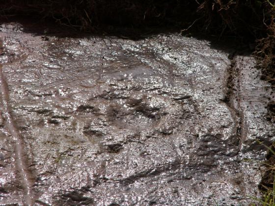
panel 9a
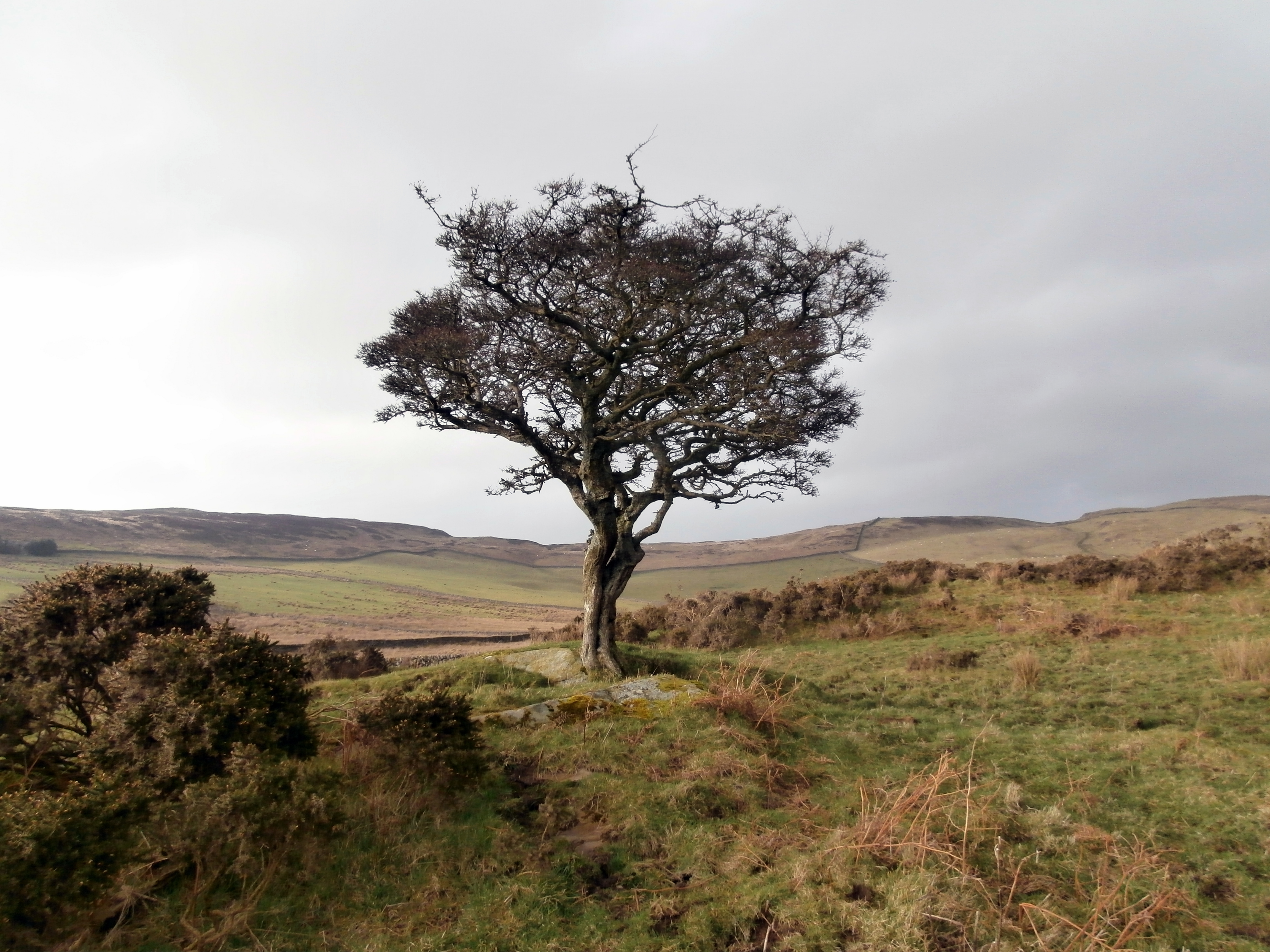
looking towards to the Isle of Man
www.briankerrphotography.co.uk

panel 9a
www.briankerrphotography.co.uk