
Open Source Environment agency LIDAR
Image credit: © Environment Agency copyright and/or database right 2015. All rights reserved
Open Source Environment agency LIDAR
Looking west over the site.

Looking SSW over the site.

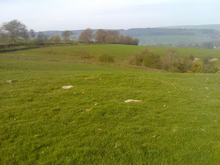
Looking NW over the site towards Whaley Bridge.

Looking eastwards up the slope across the site.

01/04. Ladder Hill’s earthen circle.
[visited 20/3/11] What a lot of pain for what is actually a very easy to find site. For any future seekers, the site is to the North of long lane, so there really is no need to get right up on the top of the hill which is South of long lane. This sits in a very similar landscape position to Green Low, overlooking a clough to the left facing downwards and some way down from the top of the hill it sits on. As such I view them in a similar light.
A clear circle, but relatively small, any stones are mostly buried. I see this as a ring cairn ahead of the embanked circle classification, though they do have a tendency to meet in the middle! Great views looking North and definately worth a visit.
Access is not difficult in a small field next to a rocky track. I parked down in Horwich End and walked about a mile up hill to the site, but temporary parking might be possible at the end of long lane.
Third attempt, and with stronger legs, I finally found this site, and what a superb place to put whatever it is. Stunning views of Eccles Pike, Whaley Bridge and further on to hilltops and lows unknown [at least by me] especially at 9am on a wonderful clear spring morning.
It measures 36 by 34 feet across, so rather small, with a pronounced bank on the western downhill side. Several larger stones, with many smaller and buried stones found by probing, all around the perimeter, with a single central stone. Highly unlikely to be the result of field clearance, as there are several other stones in the field and a deep narrow gully only 50 yards away downhill. Easily visible from a long distance [so how did I miss it before? Too bloody lazy to walk another 50 yards...steep path though], but alone in the landscape.
I was under the impression it was a hengiform thing, but there’s no evidence of a ditch, it’s far too small, but it would be pretty perfect as a stone and earth barrow that has been robbed out. Suggestions of it being a stone circle are probably based on the stones visible around the edge and the central stone, like a small version of Arbor Low, complete with flat stones. As well as the stones around the field, there is a very large one under the tree in the field over the path to the south. The field has never been ploughed [or the farmer had an unlimited supply of blades to break] so the ridge around the edge survives well enough to give an impression of how wide it originally was.
A skull currently at Tunstall Farm was alledgedly from this site.
Worth the climb.
What is it?.....barrow or stone circle?
Low grass covered rubble bank, around 13x11m in size, bank broken to the NNE & SW. With several large-ish stones on the banking.
The stone circle theory comes from a geezer named W.Andrew...who described the site as ‘being a stone circle similar to the 9 ladies.’ the rest of his description is a bit confusing....but he makes no mention of seeing upright stones and describes it much like it is now.
Barnatt reckons on it being a robbed cairn and the stones around the bank being kerbstones.


