Image credit: Chris Bickerton


Spot the difference between this picture and the very first one.


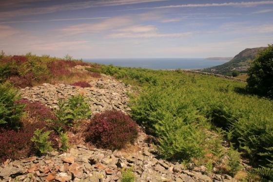
Idyllic


On zoom from Waen Bryn-Gweniths stone 2


Uhh oh... a crack in the clouds.
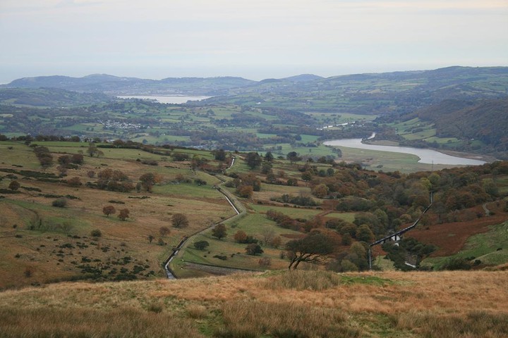
Nearing dusk. Time to go; with Tal-y-fan all a-glow.


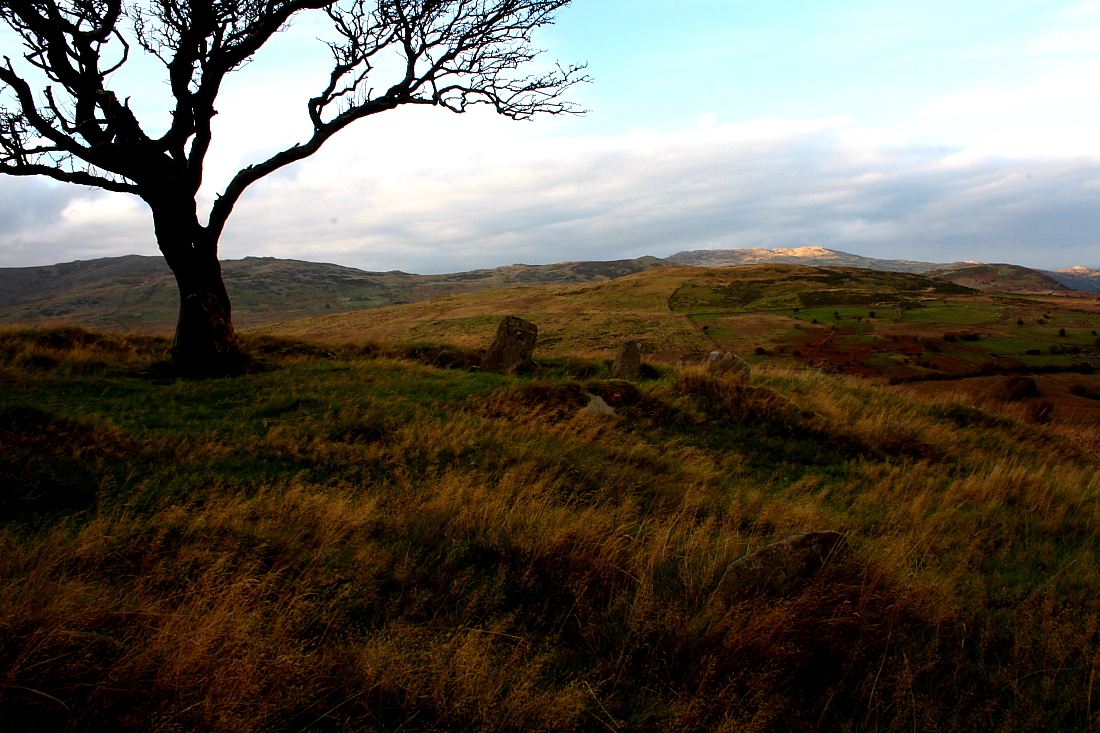
Tal-y-Fan shines away beyond...

Toward the cairnless 3,000 footer Foel Fras (left) and the significantly lower Bronze Age cairn crowned Drum (approx centre, with Pen-y-Castell to its right).... work out the logic in that?


Retrospective of the wonderful siting from some way up Moel Eilio.
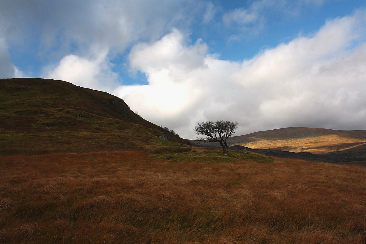
Moel Eilio rears up behind....

‘Cairn circle’ might be a better bet...

If those are kerb-stones..... my name is Ray Barneveld.

Simply one of Wales’ most enigmatic sites.... in my opinion.

From the lane above Hafodygors wen. Stones beneath the tree, just visible.


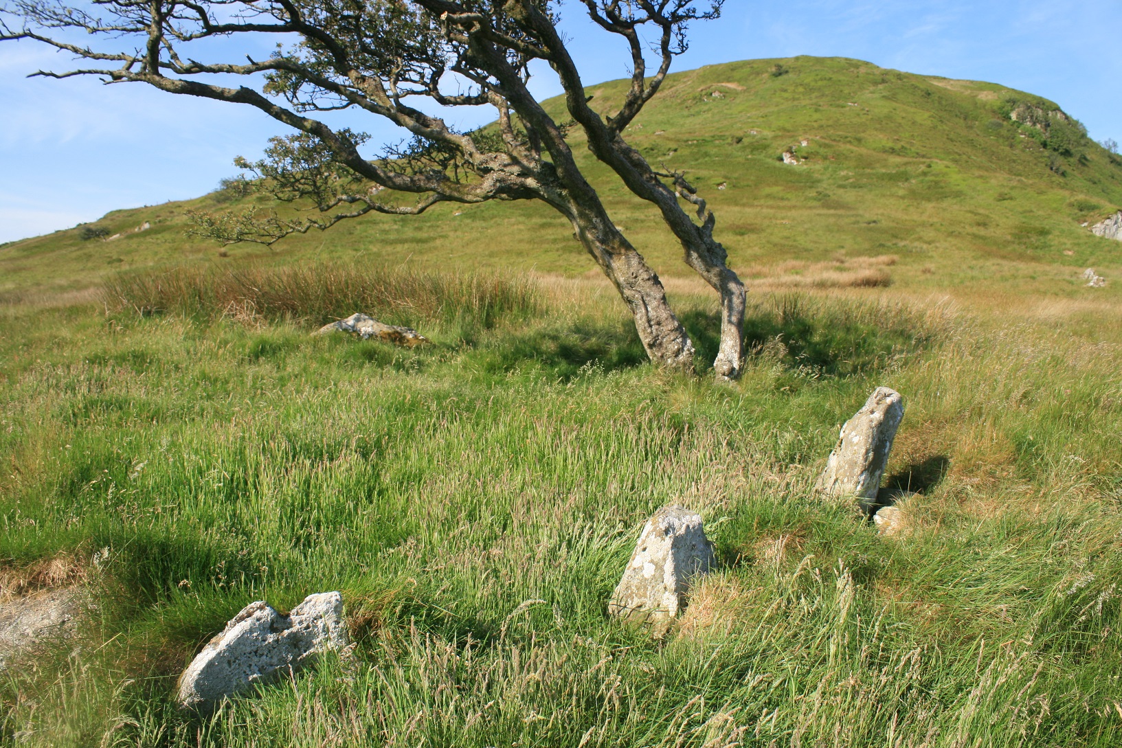
The stone circle on the shoulder of Moel Eilio

The tree and green circle mark the stones which watch over the Conwy valley.
Wondrously placed upon the north-eastern shoulder of Moel Eilio, outlying sibling of the enigmatic Pen Llithrig y Wrach (Slippery Hill of the Witch, no less), this cairn-circle – for want of an official designation – simply couldn’t complement the nearby Hafodygors Wen ring cairn-cum-four poster any better if the pair had been designed as part of a unified vision. Which, seeing as the monuments are inter-visible, might not be as far from the mark as some other antiquarian-related musings I’ve undertaken in the past. Perhaps.
Now a brief perusal of the relevant 1:25K OS map suggested to me that a minor road heading approx west from the village of Dolgarrog would bring me within striking distance of the monument, that is in the vicinity of the Coedty Reservoir. Trouble is... I couldn’t locate said route – or at least a road I’d consider manoeuvring my car up (has it been closed to vehicles now?) – so continued to Tal-y-Bont and took the left hand fork from the Llyn Eigiau access road (refer Hafodygors Wen). Ah, Llyn Eigiau. Doyen of starting locations for serious expeditions into the uplands of Y Carneddau, it was a failure of its dam on 2nd November 1925 which, unleashing a torrent of water downstream to overwhelm the aforementioned Coedty Reservoir, resulted in the catastrophic deaths of 16 Dolgarrog residents. A poignant reminder of what can happen when humankind underestimates, for whatever reason, the sheer power of natural forces. Perhaps it is a subconscious recollection of these tragic events which colours my outlook with a slightly matt black sheen this morning as I park-up near Pont Newydd. Then again it could also be the driving rain and high winds? Possibly...
A bridleway heads uphill more-or-less southward above the reservoir, the erection of a new fence having unfortunately churned the landscape to a muddy morass. Nevertheless Moel Eilio presents a pleasing profile, albeit one soon supplanted as I clamber over a stile and advance beyond a cross-fence, by that of a hauntingly evocative hawthorn tree crowning the monument I’ve come to see. An example of natural and artificial aesthetics complementing each other perfectly. Harmonious synchronisation, you might say? Or maybe not. Perhaps that’s just the way I see things since the tree is as gnarled, windswept and in-your-face combative as any I’ve witnessed. A true survivor. The grassy, round cairn it surmounts – for it is indeed clearly a cairn – possesses a significant diameter, albeit lacking somewhat in height. A not insubstantial number of stones – I ceased counting years ago – demarcate the circumference. I hesitate to use the word ‘uprights’, since those upon the arc facing the towering bulk of Moel Eilio rearing above are recumbent, just what you would expect if incorporated within a retaining kerb. However others, particularly to the north overlooking the reservoir are, in comparison, relatively tall and surely(?) not placed with the intention of undertaking any load bearing. Consequently I reckon ‘cairn circle’ is a reasonable enough assumption in the circumstances.
So, here we have an impressive monument set overlooking the Afon Porth-llwyd, outflow of Llyn Eigiau and inflow of the Coedty Reservoir. Clearly the valley floor has changed quite a bit since locals gathered here to do whatever they had to do to keep favour with the gods back then. Not so, perhaps, the northern/north-eastern skyline with Tal-y-Fan’s serrated ridge and the serpentine meanderings of the Afon Conwy timeless constants, at least within timescales us humans would understand. Turning the Gladman gaze to the south-west another inexorable presence captivates and, inevitably, clears the diary for the rest of the day. Yeah, Moel Eilio. At 1,791ft it is not a major player in the area, not by a long chalk. However if I’ve learned anything from an adult life spent seeking out the unusual, the obtuse... the interesting.... it is that a peripheric viewpoint can often provide unexpected insight.
And so it proves with Moel Eilio. To be fair the ascent from the cairn-circle is short and, notwithstanding the fact that I tend to struggle with steep climbs nowadays, without much of a bitter aftertaste, the retrospective view looking down upon the monument vindicating the exemplary vision, the sheer appreciation of the landscape inherent within its prehistoric architects. In my opinion we could learn so much from these people if only we adopted a similar outlook to living upon, being a part of, this planet. Although, with several millennia of scientific learning under our collective belts, you’ll excuse me if I decline a belief in supernatural agency. We can all do without hubris. Anyway... I reach the crest of the mini-mountain and suddenly the going becomes just about as difficult as it could be today. Deep, trackless heather. Clearly not many people come this way, then? The summit (unmarked – why no burial cairn here?) is eventually attained and the high (mostly) Bronze Age cairn adorned summits of Y Carneddau crown the skyline in serried array beyond. The ‘playground’ – or perhaps more accurately ‘assault course’ – of my youth somehow now appears to generate much more profound emotions when viewed from a distance in a similar plane. Perhaps that is because I have nothing to prove to myself, at least physically, so the mind is more perceptive? Or then again maybe you have to take a step back in order to truly appreciate what is there before you? Hard to explain. Obviously.
I force my way through the heather, slightly downhill now, to eventually overlook the ancient settlement at Moel Eilio. Again, the isolated trees emphasise the way in which our ancestors could suss out the landscape.... the tribe elder no doubt declaring ‘this is where we will live... good shelter’. Carnedd Llewelyn, possessing the highest surviving burial cairn in all Wales, rises above the shattered rock pinnacles of Craig Eigiau, the latter likewise looming over the hauntingly melancholic breeched dam of Llyn Eigiau. Sunlight spills from the brooding cloudbase and sweeps across the floor of the cwm as if in mimicry of those events almost a century ago. My attempts to capture such an intense vibe on ‘film’ are doomed to failure, not least since the sheer velocity of the wind renders my camera tripod almost superfluous. Jeez, it is bad. But what the hell! I’m alive!
I return to Cae Du and spend the last half hour before dusk watching the setting sun illuminate Tal-y-Fan... as if it was the star actor of a drama randomly played out at the whim of the clouds. And there can be few better seats in the house than this cairn-circle.
Not marked at all on my Landranger map but thankfully down as a cairn on Coflein and presumably the bigger map.
On the B5106 turn west in Tal y bont, take the only left turn off that nightmarishly steep lane and continue all the way to end of the road at the reservoir.
Moel Eilio (546m) stands above the lake and half way up the mountain on a plateau is this “cairn”, as close to the mountain as it can be without being too steep.
I came across this neat sounding description on Coflein whilst broad sweeping the blue dots just to see whats been missed...
Remains of a probable Bronze age cairn situated in a prominent position on a terrace on the NE-facing slopes of Moel Eilio, overlooking the Afon Porth-Llwyd valley. Circular in plan, measuring 13m diameter and up to c. 1.2m in height, over a slight ring bank following the rim of the platform and a partial stone circle offset from the centre. At least 10 orthostats are visible, several being of considerable length (up to 1.8m) – the cairn has partially collapsed or has been disturbed in the past
Calling this site a cairn is doing it a bit of a disservice, it’s a stone circle, the stones are quite large the ring obvious from a distance and marked by a wind oppressed tree.
The plateau on which it was built is quite large and of all the places it could have gone they chose to build it as close to the mountain as they could, from here you can see Pen y gear hillfort, Hafodygors wen and Waen Bryn-Gwenith collapsed dolmen and hill top stone.
Maybe it could be seen as the southern extreme of the Tal y Fan sites, including others such as the Cerrig Priffaid stone circle and Maen y Bard dolmen.
Further south about 500 metres is Moel Eilio standing stone, I found three likely contenders but none of which I’d stake my name on, but i’m not alone, not only does Coflein fail to describe the stone but they too failed to find it, I did find a well preserved enclosure of undetermined age though.