Postie’s boot provides scale for the central slab.
Image credit: A. Brookes (19.7.2014)
Postie’s boot provides scale for the central slab.

The central slab, probably the remains of a cist.

The most prominent stones in the kerb.


Even a day of no visibility, this excellent cairn is well worth a visit. Could do with a trim though.


What’s left of the central cist.

Cist side slab, capstone, fallen central standing stone ?


As seen from Carnedd y Saeson, approximately.

Western arc of round barrow
The northern arc of slabs. The Cist is in the hollow just inside.

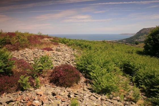
Looking North out to sea.

The remains of the cist

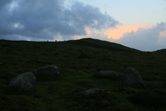
This is the first view you get of the barrow as you approach.
The upright slabs can be seen (just about) poking out of the heather.

View of Foel Dduarth Foel Ganol and Beyond

View of Foel Dduarth
Now this one, ive been waiting a really long time to get round to seeing. The weather had dissuaded us from going anywhere too high up, also, seeing as the furthest ive walked since my back operation is down the road to Sainsburys, and with hindsight and extremely achy legs, i’m kind of glad we didn’t go too high.
But, like Blossom found, it is a long and winding up hill road to the kerb cairn. We dithered a bit at the start trying to find the right route up, inadvertently following the same route up as Blossom.
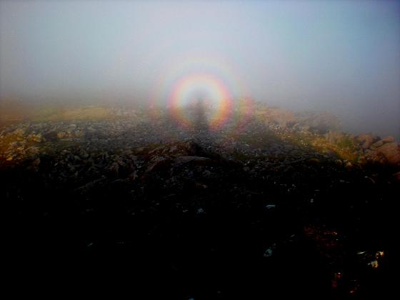
It was very warm, we were waterproofed against the drizzle, but in summer you either stay cool or you stay dry, not both. It wasn’t long until we entered the clouds and the outside world disappeared.
The map clearly shows the cairn on the east side of a forestry track junction, but I could see stones on the west side, closer inspection proved the map to be wrong. The cairn is indeed on the west side of the T junction.
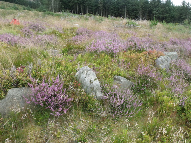
The kerb cairn even three years ago was losing a battle against the surrounding heather, but it’s a little worse now, three more years and you’ll struggle to find anything at all. What I’d like, would be to take me bike up and stay there all afternoon trimming and pruning. The ride back down would be eye opening to say the least. It would benefit hugely from a tidy, how exactly i’m not sure, but i’d definitely like to see it better. Maybe someone else would.
Up to fifteen stones stand in a circle, some here some there, lots of gaps though. Some stones are contiguous, some are isolated. Some are over a foot tall, and some had to be teased out of hiding.
An off center hole in the cairn is,probably the site of the cist, only one long stone remains now, cist cover or one of the side stones we couldn’t tell. The shape of the stone at one end looked like the wear you’d expect from a standing stone, but it could just be the shape of the stone.
I really liked this kerb cairn, but it was a long walk and almost hidden by the heather, the ordnance survey and the low clouds. I’ll be back.
I parked the car in the Aber falls carpark. Pass the first parking area then left over the stone bridge then turn right. It is £2.00 to park for the day. There are picnic tables and loos here too.
Follow the signs for Aber falls crossing over the wooden footbridge. After climbing some steps you are given the choice to either go to the falls or go left up the hill to the laven view walk. This is the path you take.
Not being the best map reader I hadn’t fully appreciated that what I thought would be a gentle up hill stroll was actually quite hard going. It’s one of those never ending hills.
The path is easy to follow. You will see another path joining it on your right, don’t take this path. Keep on going up the hill until you come to the next right hand path.
Before you take this path looking to your left you have wonderful uninterrupted views of Foel Dduarth.
The path continues to wind up the hill. If you are feeling ok you can take a left hand track marked by two boulders. This will give you more of a climb up to the round cairn. Or you can continue along the track. Round 2 left hand bends and you are on the flat. Behind you is the sea and ahead of you on the right is the round barrow.
The views down across to the sea are lovely. It was so peaceful. I didn’t see another soul and considering how many cars I’d seen parked up I was lucky. I guess most people are heading for the falls.
The cairn is great. The shape was clearly defined. Unfortunately the heather made taking a good pic almost impossible. But I could clearly see kerb stones and also the large stone in the centre thought to be the remains of the cist.
I could see why they chose this spot. Veiws of the sea and also across Foel Dduarth and Foel Ganol and beyond.
I’d planned on visiting more Cairns today but the hill did me in and I decided to leave the others for another day.
This is what Coflein has to say on the barrow