|
|
When the Romans built the Ackling Dyke (road from Old Sarum to Dorchester) they took flint pebbles from Pentridge Hill to metal the surface with. The knoll on top of Pentridge Hill is a fine viewpoint over a huge length of the Ackling Dyke.
|
 
|
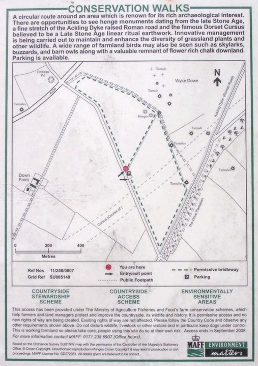
The ancient river cliff mentioned earlier by Moss is in fact right next to a very convenient car park (a glorified layby), with a gate and access to the field containing the river cliff and a section of the Cursus. (See this photo of the information board at the car park, which doesn't feature the cliff but its to the SE of the car park). If the Cursus was a processional route then the processors would have had to fall down/climb this cliff as they precessed. The land just below it (the seasonal pond, with a modern wellhead in it) would have been very boggy in the winter. Not the ideal route for a procession.
If you want to read a very thorough and insightful article about the Cursus then I can recommend a book by Christopher Tilley called "A phenomenology of landscape: places, paths and monuments" published by Berg (1994). Chapter five "Ridges, Valleys and Monuments on the Chalk Downland" focuses on the neolithic monuments of Cranborne Chase and contains plenty of pictures and diagrams as well as readable prose. My local library has two copies (must be popular!).
This page is titled "Dorset Cursus (End)", although Tilley's opinion is that this is the (later) Start of the Cursus, with the SW terminal on Thickthorn Down being the actual End. Read the book to find out why.
|
|
Visited 26/02/05 on a grey day, whilst taking in the nearby Grans Barrow and Knap Barrow on Toyd Down. The footpath/bridleway from the long barrows takes you right through the middle of the Camp, and you could easily miss the ditch and bank as you cross it. The interior is thickly wooded and brambled. Not much in the way of prehistoric remains, but on a clearer day the views would be fantastic. The Knoll (sometimes called Damerham Knoll) is visible for many miles around. Nature note: we saw deer here.
|
|
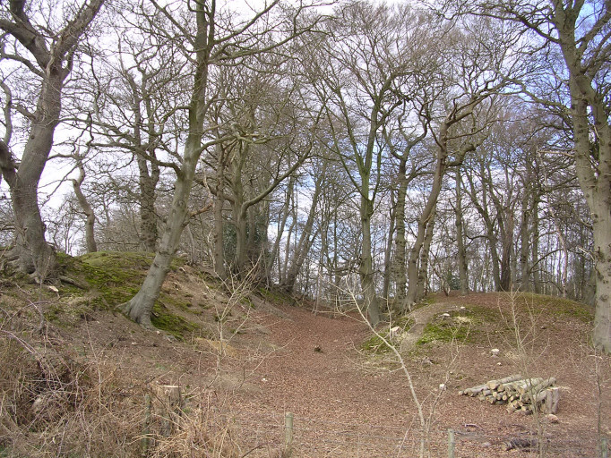
Visited 31/03/05 in miserable (misty drizzle) weather: not much sign of fortification on the knoll, and the summit is now covered by fir trees making it very dark. There is some terracing and evidence of field systems around the knoll and on Pentridge Down, and there's also a good-sized round barrow on the slope (grid ref SU037173) alongside the footpath from the hamlet of Pentridge.
|
 
|
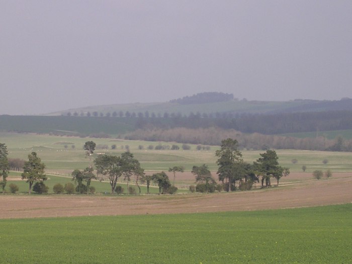
To answer Rob Gillespie's question, the picture of the cursus in Cope's book is taken from around SU018161 looking north-east. In the foreground on the right is a remnant of the SE cursus bank and across the valley the cursus can be seen disappearing into Salisbury Plantation (private land). Apparently there are traces of both banks in the plantation, as well as a long barrow built into the NW bank. The tree covered hill summit on the horizon is Penbury Knoll.
My own version of this pic is available here and I've posted a similar one on this website here.
|

|

|
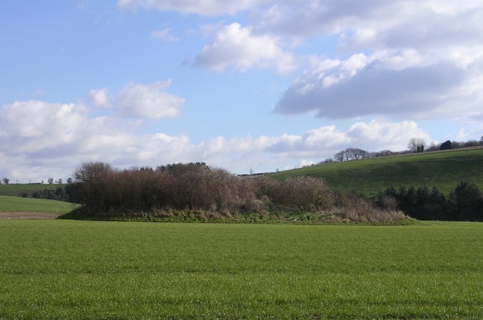
Visited 31/3/05. The long lump in the field is actually a very long long barrow, maybe a barrow of two parts, but long none the less. It is aligned with the (no longer visible) end of the Dorset Cursus. Towards the narrow corner of the field is another, ploughed down, long barrow that looks a bit like a tumulus. This too points at the cursus end-point, as does the barrow on the hillside to the south (in the neighbouring field).
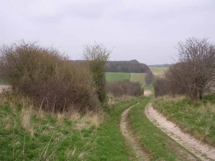
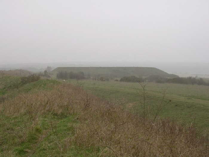
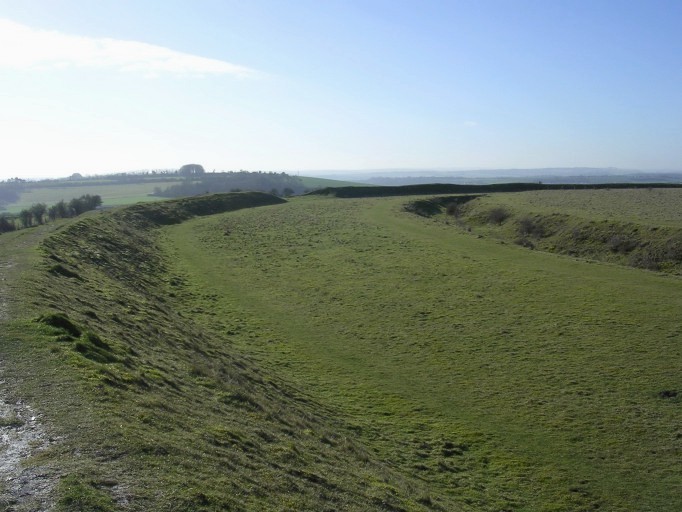
I approached from the car park on the far eastern side of Martin Down nature reserve. Take the lane west from the centre of Martin village, and you eventually reach the car park. Head due west along a track and soon you will see what looks like the biggest long barrow you've ever seen on the NW horizon. It is, of course, nothing so ancient: its the 'backstop' of a rifle range in use during the second world war. However, head for it and climb to the top and you'll have a splendid view in all directions: in particular of the long barrows that point to the absent cursus end earthworks and then southwest across the undulating chalklands where the cursus once ran.
The massive modern earthwork is only a short distance south-east of the Martin Down car park thats just off the A354 (a safe place to park on this busy road). Theres also a Bronze Age enclosure on this part of Martin Down. Its a busy busy place, and could withstand many visits. I haven't even begun on the barrow cemetaries further down the cursus.
|
A description of the Buckland Rings Iron Age Fort from Hampshire County Council.
|

New Forest District Council's description of the Buckland conservation area, which includes the Buckland Rings ancient site. You can download a large scale map of the site which shows the earthworks very clearly.
|
|
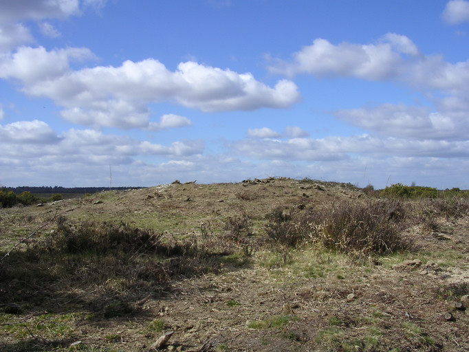
Hampshire Treasures describes the barrow as follows: "Bell barrow with outer bank at edge of disused gravel pit. Part of ditch filled in." Its not a Pond Barrow, its just very close to Setley Pond (now used by model boat enthusiasts). Saw it today, its recently had the woodier plants removed from it. Fine view across the plain, there are many other round barrows in the neighbourhood.
|
| |