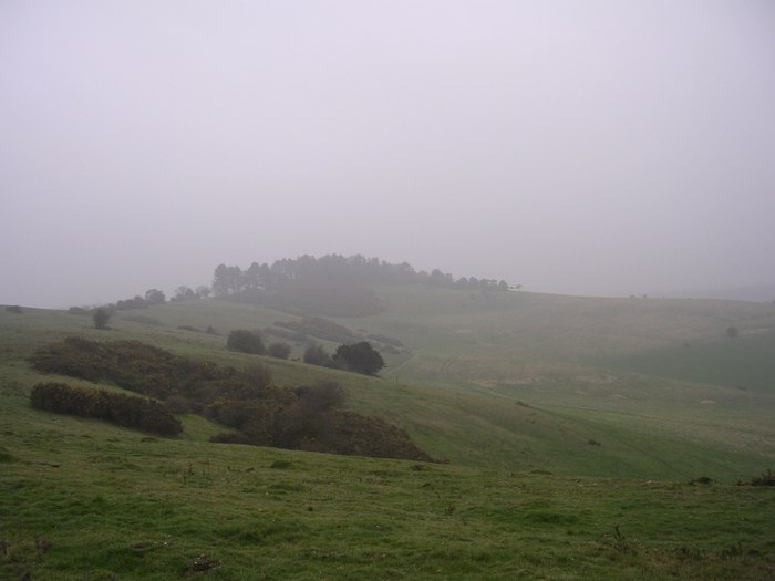
Visited 31/03/05 in miserable (misty drizzle) weather: not much sign of fortification on the knoll, and the summit is now covered by fir trees making it very dark. There is some terracing and evidence of field systems around the knoll and on Pentridge Down, and there's also a good-sized round barrow on the slope (grid ref SU037173) alongside the footpath from the hamlet of Pentridge.
A small univallate enclosure on Penbury Knoll. Circa 3.75 acres in area, it has been heavily damaged by quarrying, and parts of the interior are also obscured by trees and undergrowth. The enclosing earthworks appear incomplete, prompting suggestions that the enclosure is unfinished. On the west and north the enclosure is defined by a bank up to 25 feet wide and 2 feet high. In front of the bank on the west is a ditch up to 3 feet deep and 25 feet wide. Much of the remainder of the enclosure circuit is defined by a scarp up to 25 feet wide and up to 5 feet high. Behind the bank on the north side are some quarry pits which appear to be related to the construction of the bank. However, other depressions, some of which cut across the earthworks, clearly represent more recent quarrying. There is a gap on the eastern side of circa 100 feet which appears to be occupied by neither earthwork nor quarrying evidence. No certain entrance feature is evident, nor are there any traces of occupation in the interior. The field system to the northwest (SU 01 NW 52) appears to be related to the enclosure, but the precise relationship is unclear.
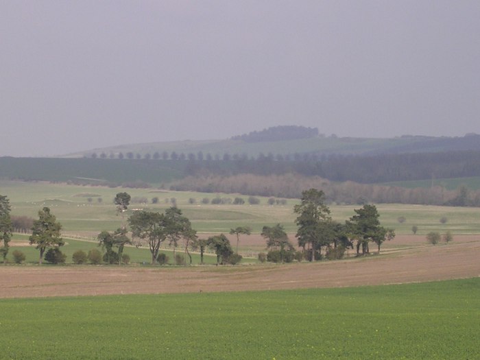
When the Romans built the Ackling Dyke (road from Old Sarum to Dorchester) they took flint pebbles from Pentridge Hill to metal the surface with. The knoll on top of Pentridge Hill is a fine viewpoint over a huge length of the Ackling Dyke.


 Posted by TreeHouse
 Posted by Chance