Showing 1-50 of 1,681 posts. Most recent first | Next 50  
|

|
 
|

|

|
 
|

|

|

|

|

|

|
 
|
 
|
  
|
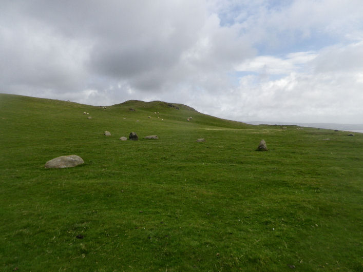
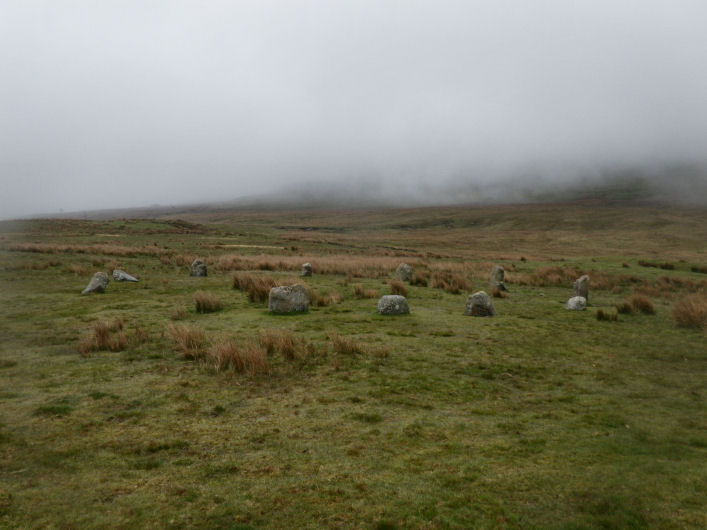
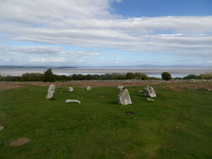
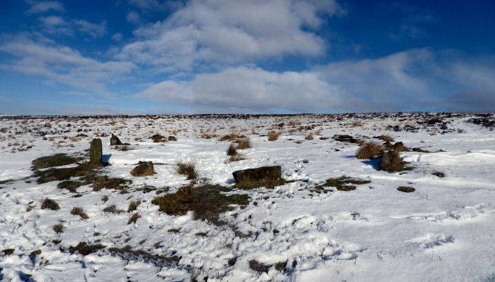
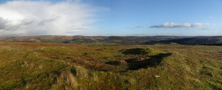
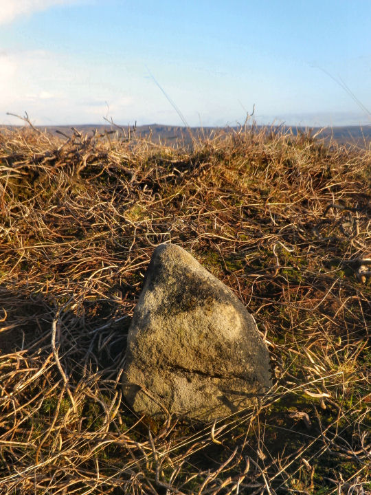
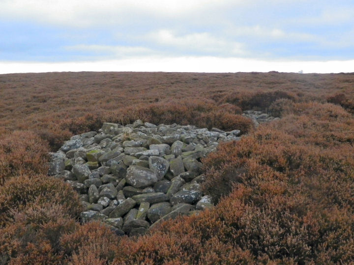
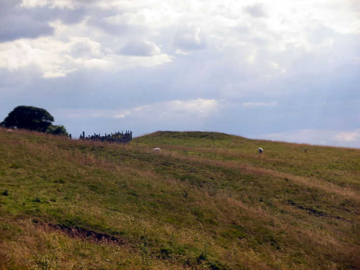
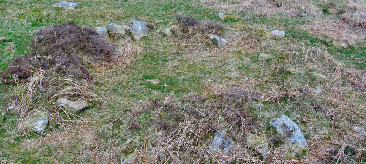
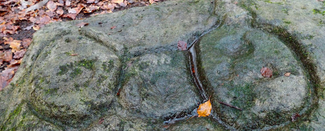
It's taken 12years for the heather to claim back the Triple Cairn. But it's just about completed the job.
The kerbstones, the most impressive thing, to me, surrounding the cairns are completely covered and the only visible part is a small stoney area on its highest part, and this is only visible when you're right on top of the cairn.
Shame really, but the moor hasn't been managed after the Right To Roam came in, and the grouse shooting stopped at roughly the same time.
|

|

|

|
"And back on the unchanging Flat of Stoke
Stand rugged stones in circle, whence the sun
The whole of day was seen, and where the stroke
Of sacrifice was at his rising done.
And out on Ramsley's brackened floor,
And high on Eyam's black barren moor,
And far o'er Offerton and all around
These olden temples stud the higher ground."
A verse from The Pride of the Peak by Ethel Bassett Gallimore (1926)
|
 
|

|
"An unfrequentd path of another quarter of a mile led us to the base of Mock Beggar Hall, a curious assemblage of sand-stone rocks thrown confusedly together, yet so arranged as to form at a distance a strong resemblance to a regular building, with a huge chimney at each extremity; hence the name which this mass of rocks has obtained: the stony towers at each end are called Robin Hood's Stride."
'Peak Scenery or The Derbyshire Tourist' by Ebenezer Rhodes 1824.
|
"The story was that 'Meg' the witch or fortuneteller, was driven out of the village and lived near this wall, or near the Nelson Monument, and that the wall was named after her. But 'Meg' is probably one of the usual excuses offered in clerical-medieval days to explain away the credit for remarkable works made by primitive, or pagan, man...........'Meg' however, is also Greek for big, or great, i.e megalith for big stone.
From the 'Sheffield Clarion Ramblers' 1942-3 by G.H.B Ward.
|
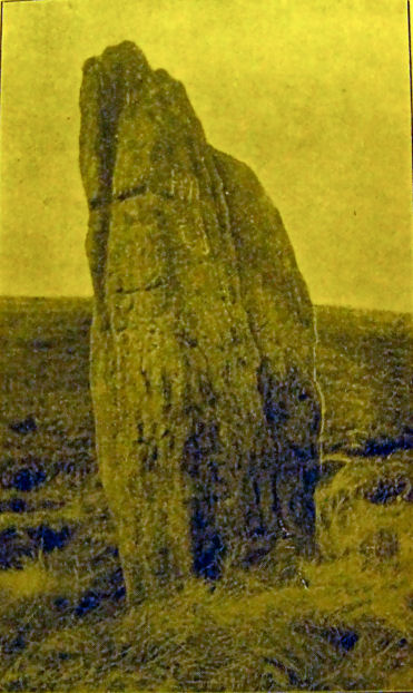
"In our walk to Matlock, we passed along the side of the hill to Riber Top, where a singular assemblage of stones, supposed to have been originally a druidical altar; some antiquaries say, a cromlech, which appears more probable: they are called Hirst Stones, and are not unworthy of a visit; since those who feel no interest in these ancient relics will be amply repaid for the toil and trouble of ascending this eminence by the prospect it commands"
From 'Peak Scenery or The Derbyshire Tourist' 1824 by Ebenezer Rhodes.
|
 
|
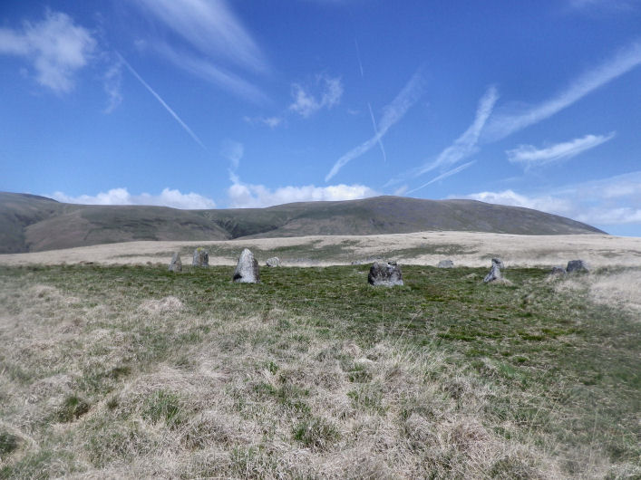
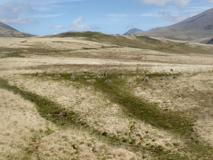
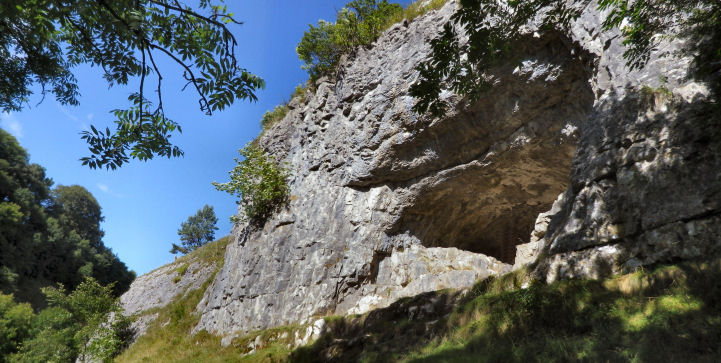
Top of Ecton Hill on a clear day in the Peak, for views, takes some beating. Swallow Moss, Axe Edge, the Hills of Parkhouse and Chrome, High Wheeldon fill the northern horizon. While the Wolfscote, Glutton, Narrowdale and Wetton hills dominate toward the southern one.
There Five barrows on Ecton Hill; this one, of three, on Hanging Bank being the pick of them. Excavations have left their mark but it survives as a pretty decent barrow in a Peak sorta way.
|
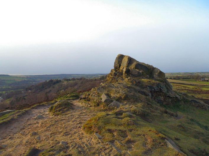
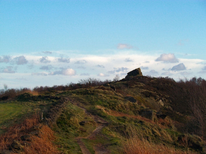
"....as we cruise again down the valley to Grindleford Bridge; first making a detour to visit the grand rocky platform of Hu-Gaer, ("The city of God"), and the old British fort of Caelswork ("which means, the fort or building of the Churl - Anglo-Saxon 'Carl'" - and not "the work of the Gaels," as a repitition of writers have it;) and to bask on Millstone Edge......"
Edward Bradbury 'All About Derbyshire' 1884
|

|
" Now for what can only be claimed as tradition, though the story may be quite true. Close by the northern bank of the River Trent, between Swarkston and Willington, is the little village of Twyford with its short spired church and wide views of the flat river plain stretching away under Midland skies. Half a mile to the eastward lies what is known as Round Hill, a large tumulus or burial mound. Here it is said were buried the bodies of those slain during a Civil War encounter. It should be remembered the Egginton Heath, or Common, lies but 3 miles to the west."
"Peakland Days" Roger A. Redfern, 1970.
|
" Carl Wark was the site of a British encampment. A Celtic tribe lived here before the Roman legions came toBritain. At the end of the sixth century this area was part of the kingdom of Argoed, governed by Sir Lamoracke, one of the knights of King Arthur's Round Table, who stood next to Sir Launcelot and Sir Tristram in deeds of valour.
Men knew Sir Lamoracke (or Llywarch, to give him his celtic name) as a fierce warrrior. He had twenty-four sons, and at Carl Wark he and they fought the hordes of Loagrians, who invaded the country when the Roman army of occupation left Britain. After a long and bitter defence the knight and the remnant of his forces were driven from the stronghold."
Norman Price "The Derbyshire Dales" 1953
|

|
 
|

|
The first verse of many by William Bennet 1867.
THE DRIVING OF THE DEER.
Lord Peverel stood on the Lord's Seat,
And an angry man was he;
For he heard the sound of a hunter's horn
Slow winding up the lea.
He look'd to north, he look'd to south,
And east and west look'd he:
And " Holy cross! "the fierce Norman cried,"
Who hunts in my country?
|
|