|
|

|
|
Swine StyAncient Village / Settlement / Misc. Earthwork
|
||||||||||||||||||||||||
|
|
|
Images (click to view fullsize) |
|


|
Fieldnotes |
|
|
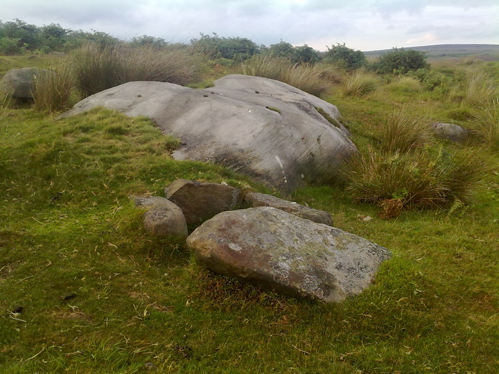
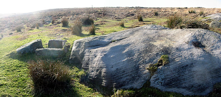
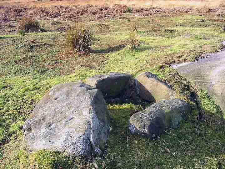
I walk on Big moor a lot, well it is only 15 - 20 minutes drive from home, though this is the first time i've been up to have a look at the cist. I took the direct route, from the track that leads to Barbrook 1 & 2 i headed down the banking through waist high bracken then over the Bar brook, there's then the climb up the other side onto the moor. the going is quite tough this way but doable if your reasonably fit, expect achy legs after though, the grass is very long and the moor equally uneven and there's no path to speak of. The wooden fence post in Stu's pic is still the best marker for tracking this site down. Wonderful little cist and worth the effort needed to see it. My gps marked it at SK 27455 75320. |
11th August 2010ce |
|
John Barnatt seems to have binned his theory of the moor being divided, by the Bar Brook, into separate working and ritual areas after his survey of a few years ago. The location of the Barbrook V ring cairn on the SW limits of the field system always caused me a bit of doubt over whether this was the case.....Barnatt andAinsworth's survey of the moor a few years ago turned up 5-6 barrows, which were previously thought to be large clearance cairns. Details of whether the opposite took place and field systems were laid out on the eastern side aren't so forthcoming.... |
22nd January 2006ce Edited 25th January 2006ce |
|
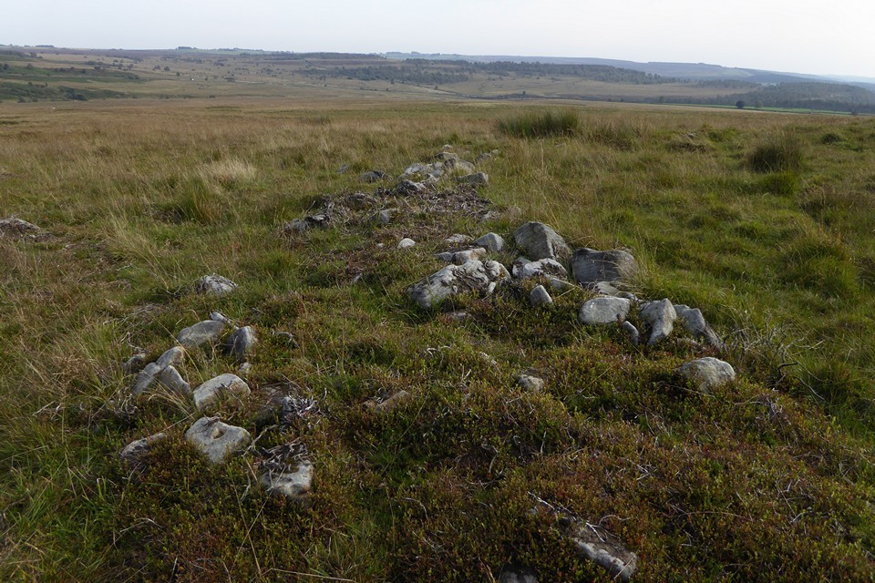
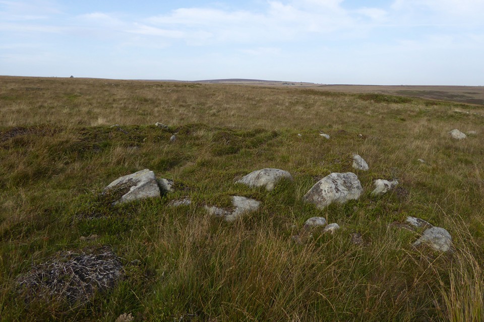
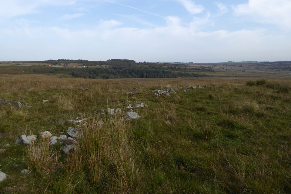
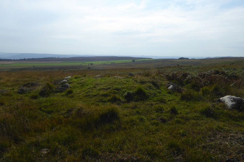
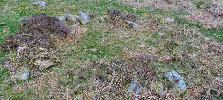
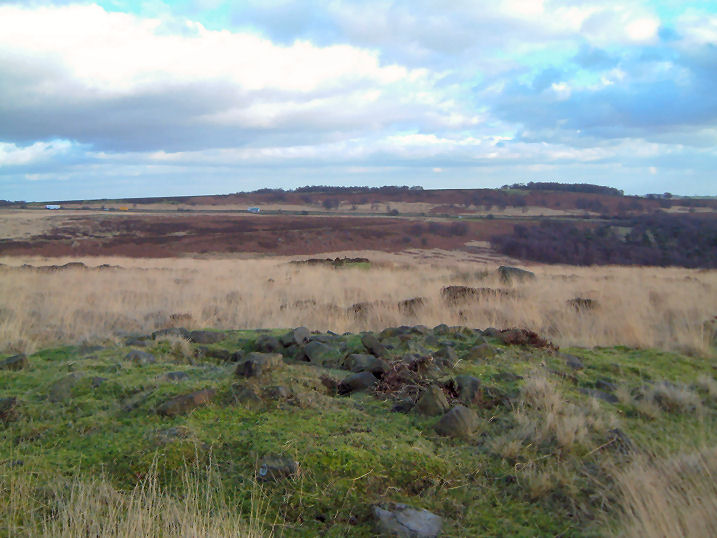
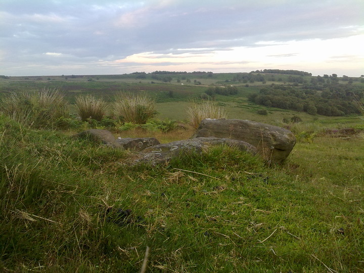
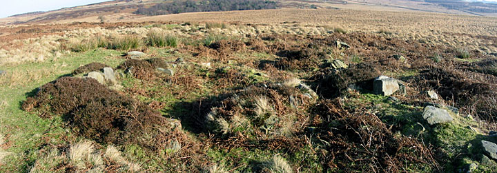
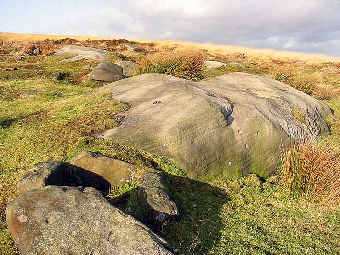
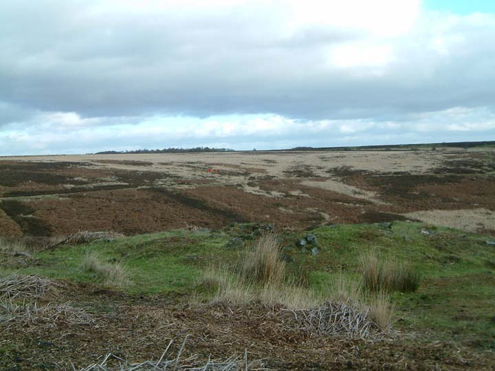
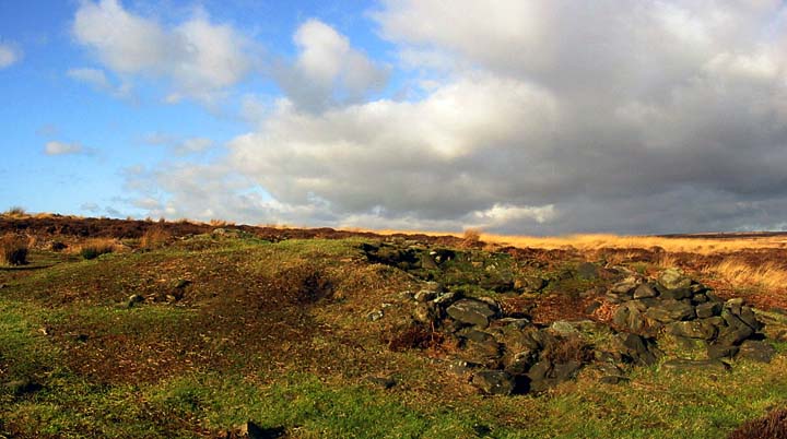
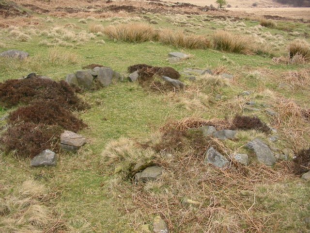
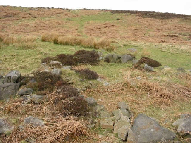
The settlement and field systems at Swine Sty cover a considerable area of Big Moor western side and are amongst the U.K's best preserved, much of them being overgrown although still visible. Amongst the field boundaries around seven building platforms or rings have been identified, the clearest of them is actually below the boulder escarpment of Swine Sty difficult to find at the best of times in recent years the site is being encroached upon by the thick bracken that covers a large part of this lower shelf. The site rewards a bit of exploring and with the moor being Open Access it's a shame not to. |
17th April 2002ce Edited 19th January 2006ce |