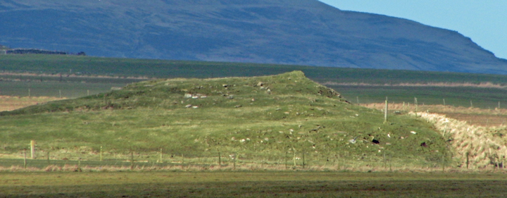
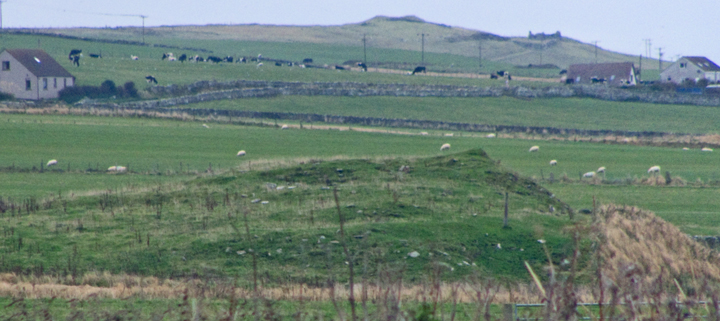
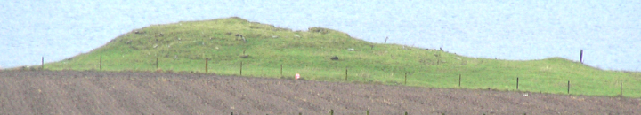
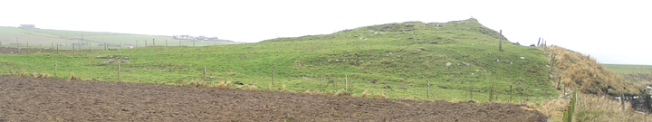
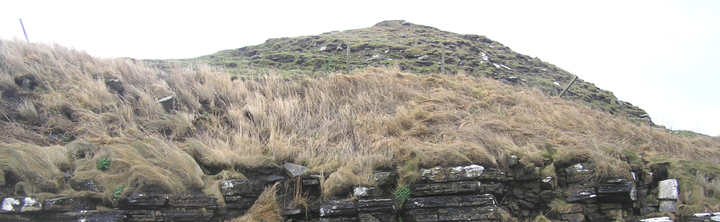
I came down the track to the beach that goes past Evie graveyard (St.Nicholas Chapel site) expecting not to reach this site but turn right for Gurness, the latter fee free for St.Andrew's Day. However it looked a doddle to get to so I went. Not quite so easy as I thought, despite a reasonably low tide. As I came nearer from the shore I could see at the far end the very tippety-top was a wedge shape that must be the highest surviving point of the broch tower - inner or outer face leastways. It is nice to see the external bank you come to first this way is an obvious one rather than some slight rise visible to the eye of faith. I can see why the remains are unsurveyable so far as discerning structures goes, for between the bank and the main mound the remains I saw consisted of several othostats at varying angles and various scattered slabs apparently face down.
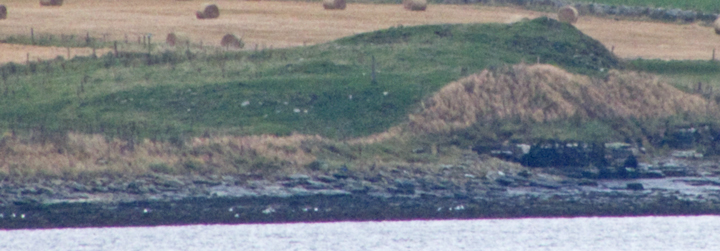
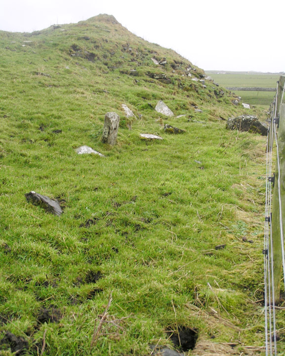
Unfortunately the field fence is taut and I didn't feel safe in essaying a climb over so I contented myself with hauling myself carefully up onto the mound edge this side of it, from whence the yards to the highest portion of the mound's coastal edge weren't so bad. Just on the other side of the fence there are enough slabs sticking proud of the surface to form a rectangular structure, possibly even two. Definitely surveyable I'd say.
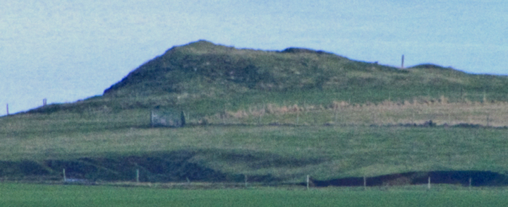
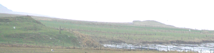
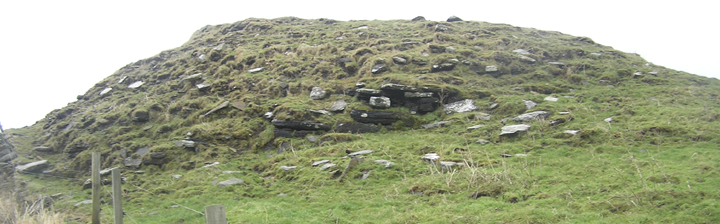
This side of the fence there are a few smallish round holes in the dark earthy matter but not enough to bring worries of rabbit infestation. Probably midden rather than burnt material, though I could see no sign of individual components. Unfortunately the coastal side of the fence gives out here, not even the barest of ledges. On the other side of the mound there is as far as I could tell no continuation of the outer bank, though the broch's inner bank is clearer here and the exposed tower wall is nice (not a patch on the Broch of Burgar of course).
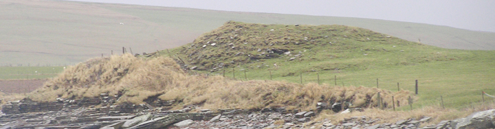
NMRS record no. HY32NE 11 is a 4m high broch with asymmetric settlement ("unsurveyable"), there being many edgeset slabs between the main mound and an external bank to the south that strikes up from the coast. It has been stated that this site has not been excavated, but in 1916 (when the surface area of this knowe was given as [on the oder of] fifty yards by ten) locals remembered a man called Johnny Fea going inside the tumulus so deep as to hear otters at work. A seal bone borer came from exposed foundations at the north side. These are traceable for roughly twenty feet and indicate an outer wall of at least twelve feet thickness (there are traces of a one foot wide intra-mural gallery atop the mound). Other finds were two beads and many likely potlids. On the other side of the Burn of Woo is a probable burnt mound, a metre high, called Robie's Knowe.