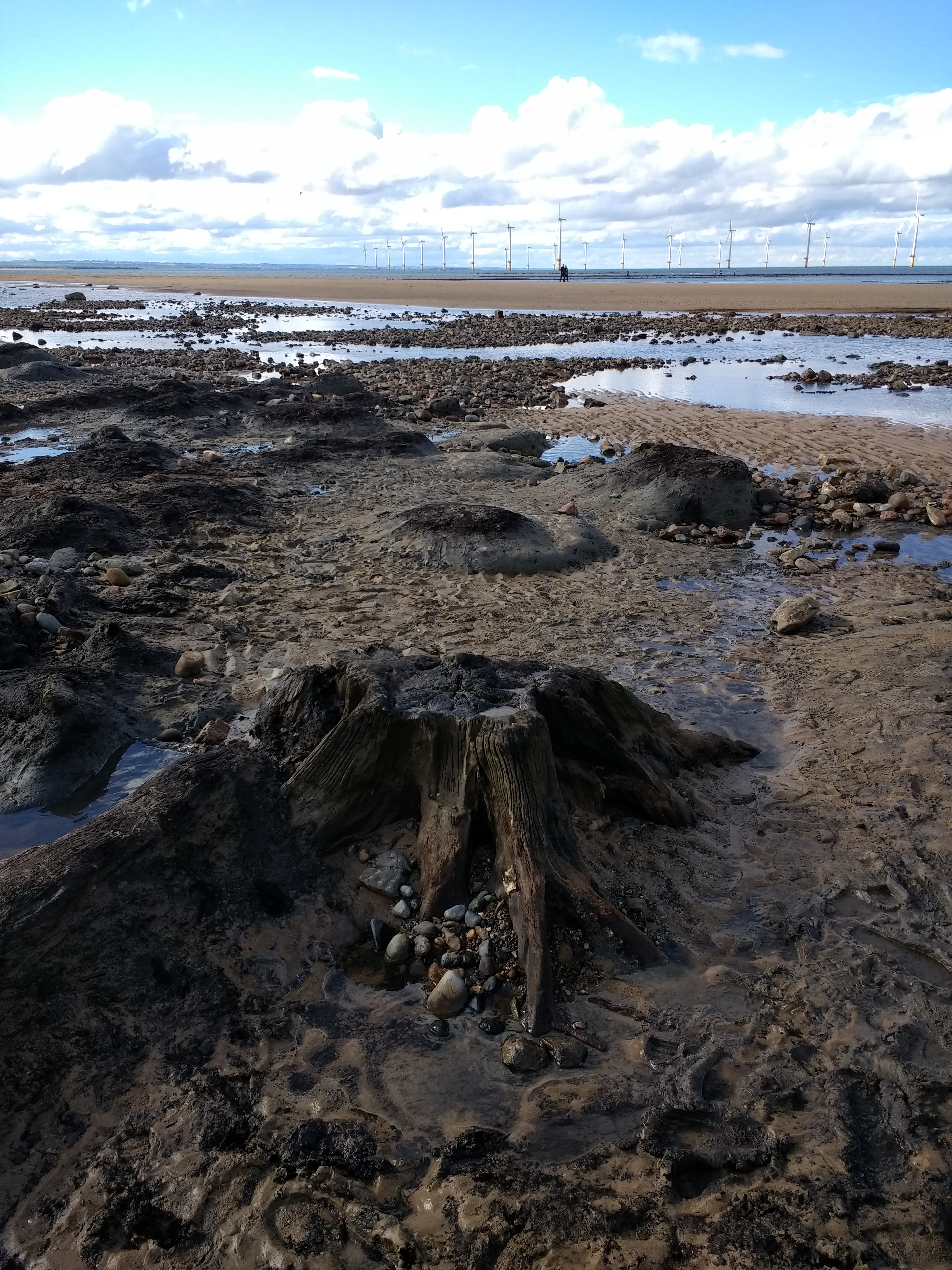
Seven thousand year old birch bark...


Roseberry Topping seen from Mount Pleasant.... realised that it’s reminiscent of Eigg from this angle

Ecclesall Wood 2 (Note: not telling which wood. There are three. Secrets must remain secrets. Sorry) Found at second attempt. NOT easy. Stroked and patted, now back under its duvet of leaves...moss had been removed by a previous finder – I prefer a bit, personally. Cutmarks by no means as deep as Ecclesall Woods 1


You want it darker......and, yes, a m getting round to fieldnotes. Boy does this place deserve them. Real archaeology coming up..and possible reclassification as sacred site not just natural rock feature. There’s more to here..otherwise I wouldn’t bother going out in snow, trust me.

The hidden gem in a city wood. I d o love this stone..it knows what I think. The moss is growing back. Please let it. I wish I could put do not disturb signs on the footpaths nearby, but that would only encourage the oppsite. A quiet treasure. And a photograph of it would make a lovely front cover for a book....but no image details within. Please, only go if you need, not want, OK?


Ecclesall Wood 1. My first sight of it. February 3rd, 2017.

Sunset over Carl Wark, seen from Burbage Moor.

Sunset above Carl Wark, seen from Burbage. They’ve gone, so have a fair few of the stones..but the sky remains. They saw sights like this, and now do we.

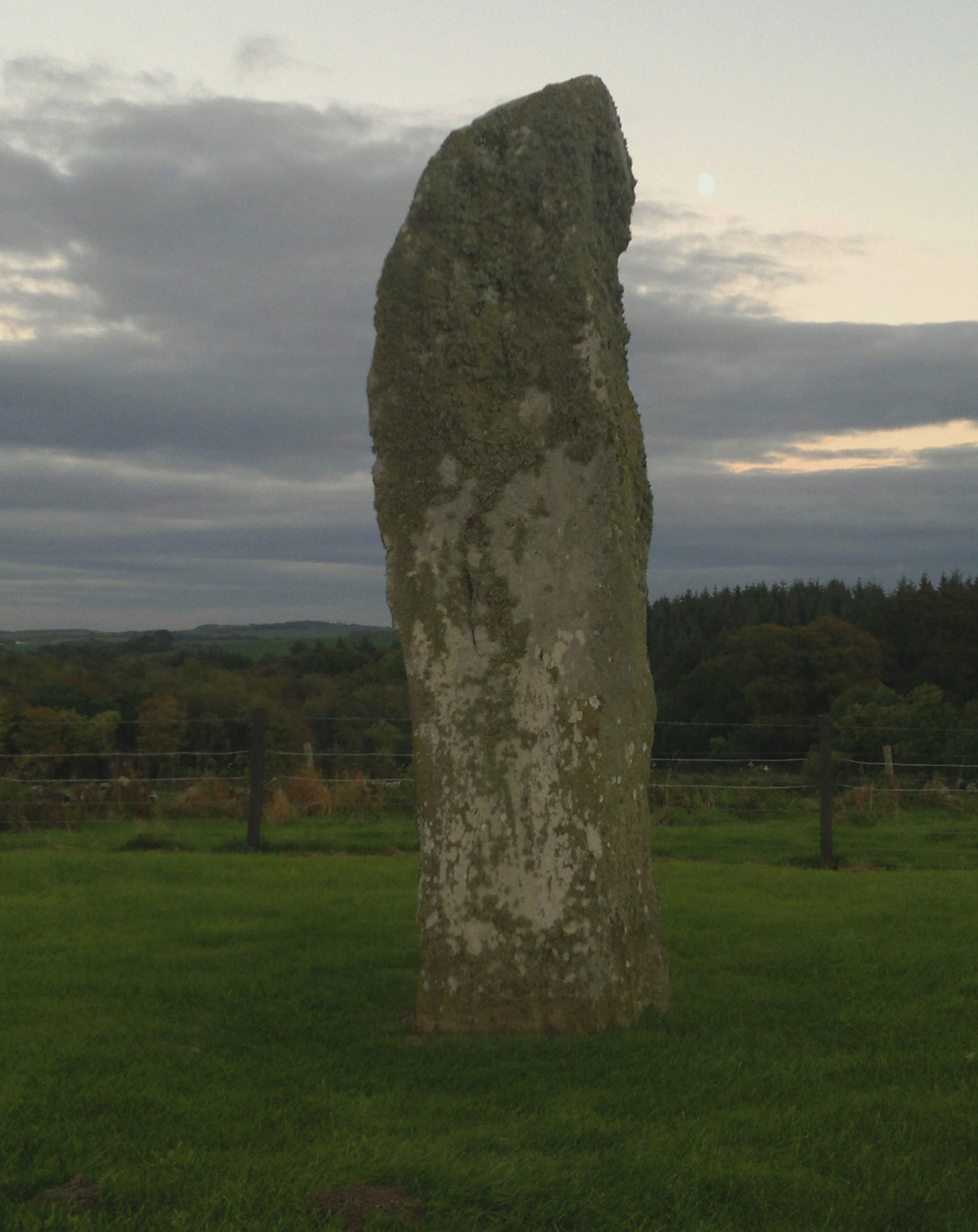
Five minutes before taking this photograph while returning to the road after finishing my site visit I was charged by a herd of about twenty cows. Unknowingly I did the right thing, stood for a minute afterwards, then walked to the gate, but then turned and returned to the stones as I wanted to show the cows that they had not won, laid down in the grass, took out my old mobile phone instead of my usual one and pointed it. This was the result. I do not need to go back.

My conviction that these stones have been a waypoint and place of congregation for millennia on the ridge that leads to Stanage is absolute. From this angle the right hand stone becomes ravenlike. Look: it even has an eye...

...and the larks were singing... burial chamber L, round barrow R

2016: fresh damage to what is supposed to be a protected ancient monument

N side. At bottom left partial removal of cairn material for field boundary clearance is visible. The cairn remains substantially intact, though

The top of the cairn, stone, some moss covered, visible amongst fallen leaves. Depression at right of image may indicate at least an attempt at robbing, or perhaps the site of a fallen tree.. Canmore uncertain


Seen – sort of – from farm track through the wood