
spencer


The ramparts on the W side. Visit when the bracken’s down ..this is an underappreciated site in a fine position.
Image credit: Mike Purslow

Ramparts on W side looking towards the trees above Kettley Crag
Image credit: Mike Purslow


The hut circles, St Justinian’s and Ramsey
Image credit: Mike Purslow


View N from Allt Felin-fawr, small cairn, unmarked on OS, top centre, Carnllundain cairn top right
Image credit: Mike Purslow

The middle and inner ramparts
Image credit: Mike Purslow

Looking from the inner of the three ramparts to the outer
Image credit: Mike Purslow

The outer rampart and the entrance through
Image credit: Mike Purslow

The central stone, northern stone at left
Image credit: Mike Purslow


Seen from Lady Bay on the North Rhins north of Stranraer
Image credit: Mike Purslow

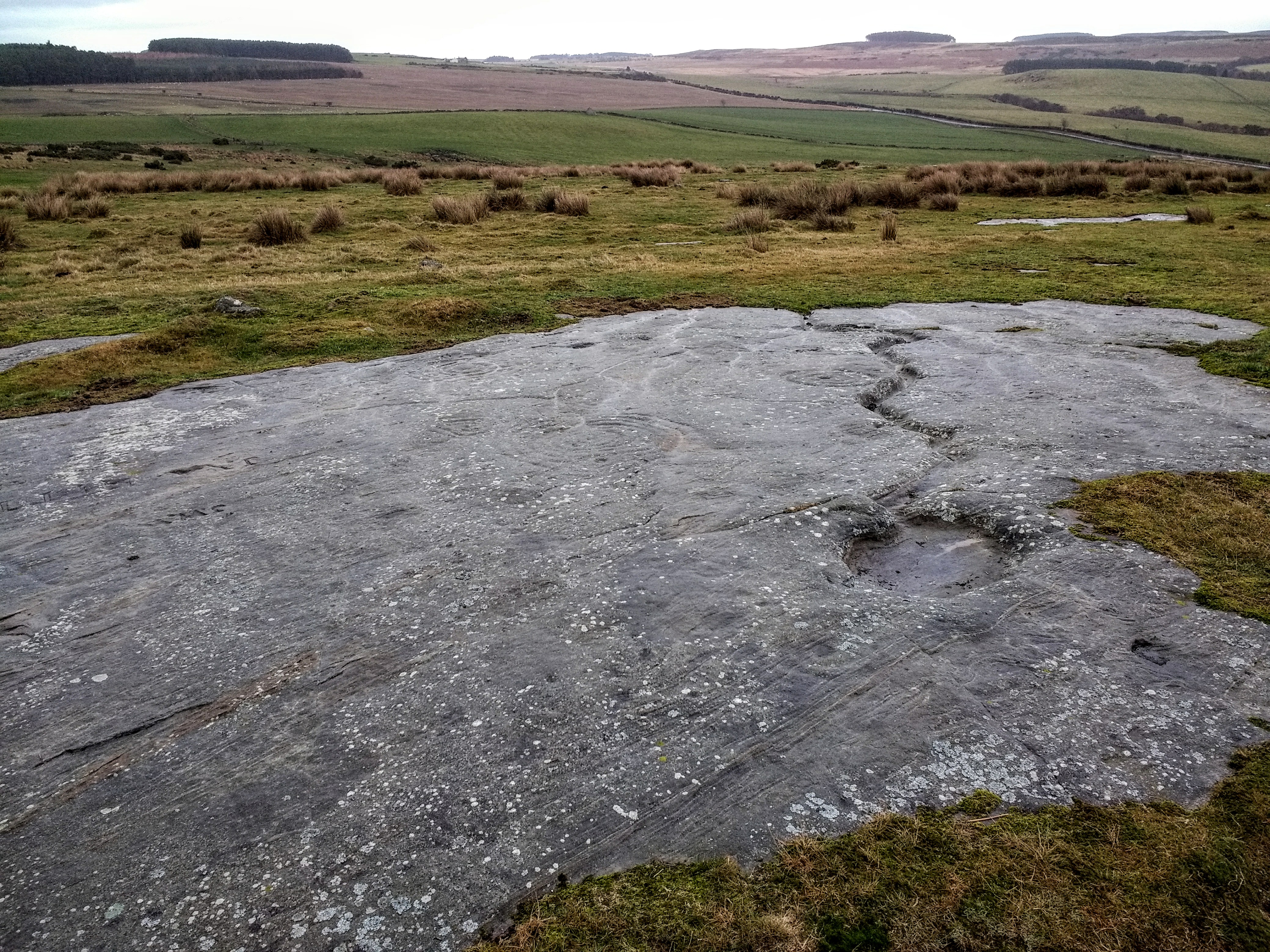
Part of the third group of carvings over the wall in the copse
Image credit: Mike Purslow

Part of the third group of carvings in the copse beyond the wall
Image credit: Mike Purslow

Part of the third group of carvings in the copse beyond the wall
Image credit: Mike Purslow

Looking back towards the S entrance from the edge of the promontory (wobble wobble)
Image credit: Mike Purslow


The causeway leading to the broch – looking back to the approach path
Image credit: Mike Purslow


The view towards Ramsey Island....ignore the gun emplacement and why the tombs are sited here should be very evident. What a place to end up.
Image credit: Mike Purslow

Looking East. The rampart on the left is a good 10’ high.
Image credit: Mike Purslow
