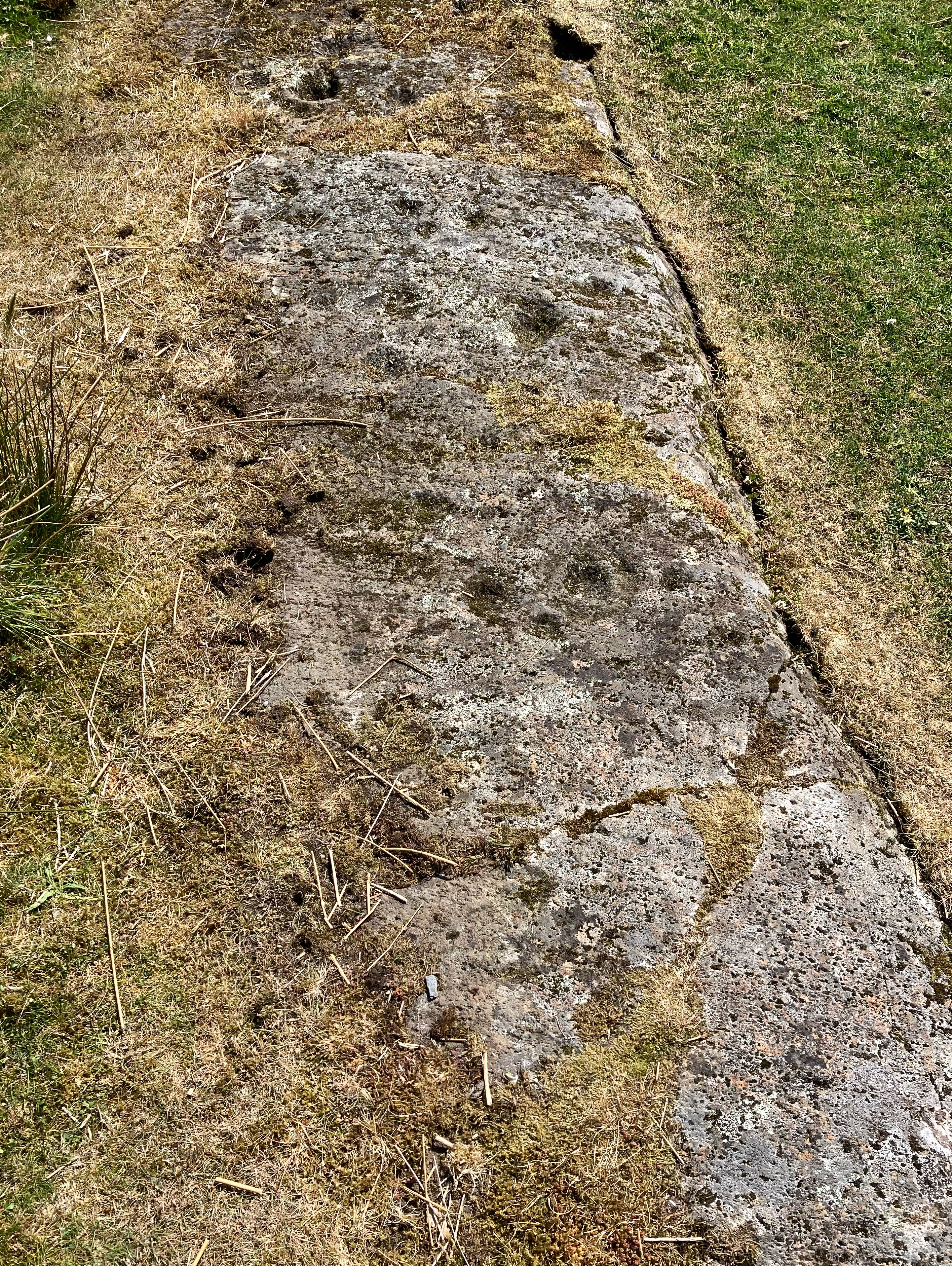
This second large mound, in the churchyard’s south side, is not recorded by Coflein
S side of church, mound visible under tower
The large mound that the church tower sits atop
Looking west over the Tump… albeit a very low feature it is nonetheless clearly defined.
N side of the barrow that is the root of my family tree… an ancient ash atop
Seen from the Clun Road, showing how the barrow would be a skyline feature but for the trees that surround Purslow Hall
The northern side of the barrow seen from Harrop Edge Lane
Looking North along the top of the Dyke from near the Southern entrance, near the beach car park. Once again, the enormity of the earthworks here is evident
The southern entrance through the Dyke showing the interior
The southern entrance through the Dyke from the beach below… those banks are immense – full grown trees for scale
Carl Wark (l) and Higgar Tor (r) seen from Burbage
The Western rampart, approaching from Higgar Tor
The SE corner.. the transition from built to natural defences
The northern side’s natural defences, Higgar Tor in background
View along S rampart to entrance
Why the winds at this place can be benign despite blowy nearby: the cliff profile carries them up and over. Seen from the promontory north of site (centre of image). Possible way down to shore visible below rocky knoll.
The South side of Lose Hill seen from the air. Barrow (just) visible at summit
East side of Arthur’s Seat seen from Musselburgh Lagoons
E side looking towards Cheshire Plain
Looking E, Bass Rock just visible to L of wood in centre of image