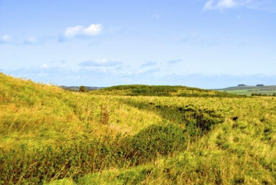
The promontory fort from the WNW, on the footpath up Huish Hill from Oare. The earthworks are at the lefthand end of the summit.
Image credit: A. Brookes (22.12.2016)
The promontory fort from the WNW, on the footpath up Huish Hill from Oare. The earthworks are at the lefthand end of the summit.

Showing a part of the cross-rampart and The Vale of Pewsey on an overcast day.......

Big Wiltshire skies over Giant’s Grave.

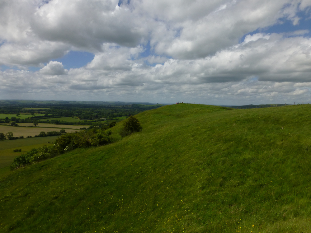
Looking down on the site on the way back from Martinsell hillfort.

The rampart from the outside.

Looking down on the northern part of the outer ditch.

The earthwork survives well.

Looking south along the rampart.
The southern flank of the promontory, with the Vale of Pewsey stretching away beyond.

The inner face of the rampart.

Looking across the interior from the western tip of the promontory towards the single rampart.

A very prominent promontory fort, this.


Giant’s Grave Hill Fort from Tan Hill Way.

Giant’s Grave and Martinsell Hill

Apart from its hillfort and folklore, its one of the highest in Wilts,
Monday, 11th July 2011
Set off to ‘test’ another nine mile walk for the North Wessex Downs AONB forthcoming series of Heritage Walks. Started from Pewsey Wharf along the Kennet & Avon Canal to pick up the White Horse Trail at Pains Bridge up to Giant’s Grave Settlement.
It was a hot, humid day, I had been troubled for the past week or so by horse-fly bites. This occasion was no exception which, along with the heat, made walking uphill uncomfortable. Fortunately by the time Giant’s Grave was reached a slight breeze had sprung up.
Fabulous views over the Vale of Pewsey in one direction and the ridge of hills towards Knap Hill (Oare and Huish Hills) in the other. The nine mile walk towards Gopher Wood along the White Horse Trail (Tan Hill Way) was abandoned for a cooler day ... so it was back down hill and a walk into the village of Oare in such of refreshment.
Note: Oare and Pewsey are accessible by bus from Swindon, Marlborough and Salisbury via the Wilts & Dorset X5
wdbus.co.uk/site/uploads/publications/157.pdf
18/7/11
Another, this time successful, attempt at the nine mile walk mentioned above. Undistracted today by heat and insect bites I was able to take a better look at the rampart known as Giant’s Grave. Approached along the fence-line at the top to Martinsell Hill (the Pewsey side) it was clearer today to see it as a defensive bank and ditch, broken by the a fence driven through it. Later viewed from Tan Hill Way – a different perspective, the shape of a hill fort became clearly visible.
An excellent little promontory fort to the south-west(ish) of the much larger hillfort upon Martinsell Hill.
Perhaps best reached by way of a steep climb from Sunnyhill Lane (great name) near Bethnal Green – no, not that one!! – heading north on the White Horse Trail, before veering to the right up the obvious slope in front.
The enclosure boasts great views all round, particularly towards The Vale of Pewsey, not to mention a pretty substantial ditch and rampart isolating the fort from the ridge to the east leading to Martinsell. Which begs the question ‘what was the relationship between the two sites?’ Were they occupied concurrently by the same people – unusual, bearing in mind their close proximity – or at different periods in time? Whatever the truth of the matter, I loved it here........
Giant’s Grave is perhaps best viewed from the A345 just north of the village of Oare.
In the 18th century there was a summerhouse on the Giant’s Grave promontory, and in 1806 Colt Hoare wrote: “From the Summer House observe the finest view in Wiltshire.”
(Quoted by K Watts in ‘The Marlborough Downs’ 1993).