
Pano looking north-east, with Tallaght off to the left.
Image credit: ryaner
Pano looking north-east, with Tallaght off to the left.

The henge is to the immediate left of this shot, maybe 40 metres downslope and 7 metres below ground level here. In the distance are Seahan, Seefingan and Seefin (with Butter mountain just in front of Seefin).

Pano looking east over the henge and across the Slade Valley towards Verschoyles Hill and Knockannavea.

Pano looking east around to south-east with Seahan off-centre to the right on the far horizon.

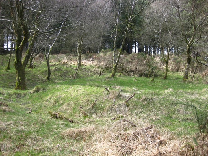
The bank at the south-west
The central platform and ring from the bank of the outer ring at the east.

The approach to the monument from the west.

The central ring.

Bank and deep outside ditch in the south-western sector.
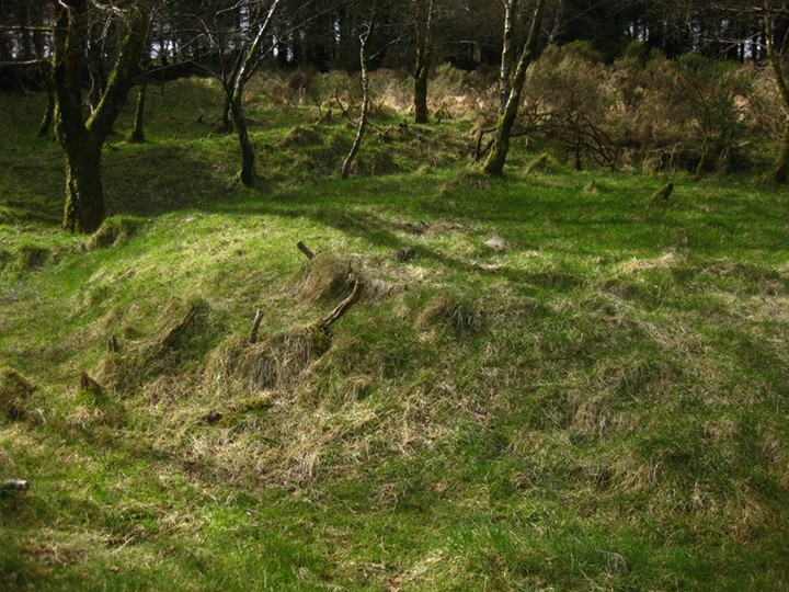
The platform of the central ring with its ditch visible.

On the northern perimeter of the henge, where there seems to be an entrance causeway, modern technology rots to oblivion.
The trees have been felled around and on the monument and the views mostly opened up. On what was a rainy and overcast day I had about 5 minutes at the site before being drenched in a downpour.
It was a huge surprise and great to see that the monument has been opened up. It seems due care and attention was taken by the tree fellers to protect the integrity of the structure; there’s even a new, explanatory sign up on the path.
Weather and lighting conditions were not the best so another visit is planned soon.
This is a very accessible, surprisingly intact, and slightly overgrown monument. I must admit that I was taken aback by the condition of the henge, having understood from previous reading that it would be barely recognisable when encountered.
A 15 minute stroll uphill from the forestry entrance leaves you just beside Lugg henge. The outer ring is roughly 30 metres in diameter, with an outer ditch that is a metre deep in places, especially on the south to west arc. The bank rises to a metre and a half in places here as well.
Inside this is a second ring with a visible ditch and about 10 metres in diameter. Much else has gone on here over the milennia as excavations show that this is a multi-faceted, multi-period site. I was definitely impressed by this place, hidden away as it is in the trees, but I had to leave rather sooner than I wished. Somewhere I would like to return to and contemplate its purpose more lengthily.


