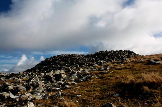
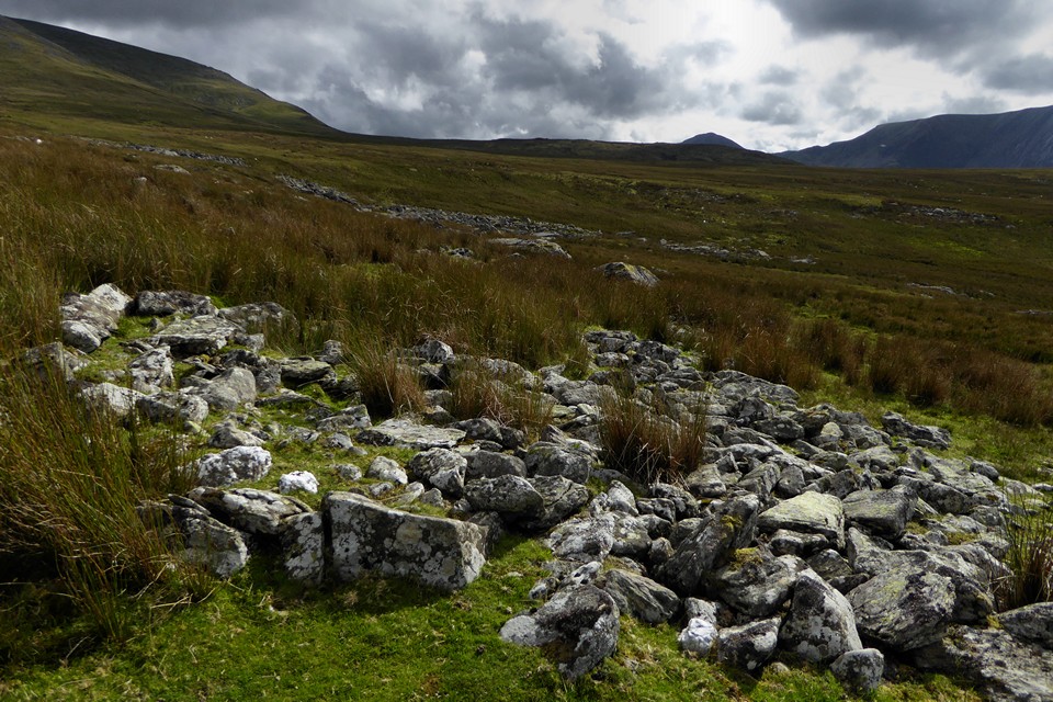
Enclosure wall, looking towards Gyrn Wigau, with becairned Drosgl over on the right.
Image credit: A. Brookes (26.8.2017)
Enclosure wall, looking towards Gyrn Wigau, with becairned Drosgl over on the right.

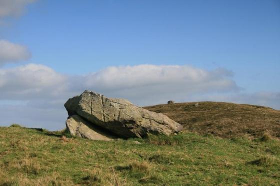
The solitary hill over on the left is Moel y Ci. Just to the right of that Holyhead Mountain on Ynys Mon can just be seen in the far distance.

Towards Carnedd y Ffiliast at the northwestern end of the Glyderau range.

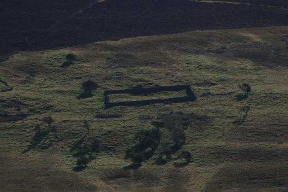
Another of the structures. Looking up the slopes of Mynydd Du. The sheep is about to cross one of the walls of the enclosure.
Looking towards the Ogwen Valley. Glyderau over on the right.

Big stones used to form the base of one of the circular structures.

General view northwest, looking towards Bethesda. I think that’s Moel Faban over to the right.

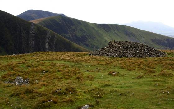
One of the circular structures, looking towards Carnedd Dafydd.
Coflein says the following regarding the site:
‘An agglomeration of curvilinear enclosures, c.90m accross, set on ground falling to the W, amongst which are located seven circular structures, c.3.6-5.4m in diameter, these features being represented by stony banks, c.1.5m across & 0.3m high; features appear to have been refurbished as shelters....Generally similar features occur to the NE‘
Mynydd Du forms the lower section of Carnedd Dafydd’s great north-western ridge, rising above Cwm Pen – llafar. Plenty of water nearby, not least the Afon Llafar itself, but one assumes copious volumes fell from the sky during the Bronze Age, making this a spot for the hardy to live, an assumption supported by the ‘Black Mountain’ moniker. Needless to say, it still rains. A lot.
This is another site I didn’t appreciate at the time whilst ascending/descending the ridge....