Poor light... nevertheless the north-eastern cairn is accorded a fine view of the Aber Falls
Image credit: Robert Gladstone
Poor light... nevertheless the north-eastern cairn is accorded a fine view of the Aber Falls

Retrospective of the Cras ridge ascending Moel Wnion... the southern monument can be seen far left of image, the much smaller north-eastern just visible to the right of the pylon. The foreground cairn appeared kosher to me, too.... although the positioning is perhaps suspect? Marker cairn?

The southern cairn and the approach to Moel Wnion; note that the trudge to the summit is – in my opinion – more of a trudge than first appearances may suggest.
Topography denies the southern cairn – at SH65197071 – sight of the Aber Falls

Southern monument, internal detail suggestive of a former cist, perhaps?

SH65197071 – Is that a kerb stone I see before me? Dunno; Banquo might know.

Southern cairn...

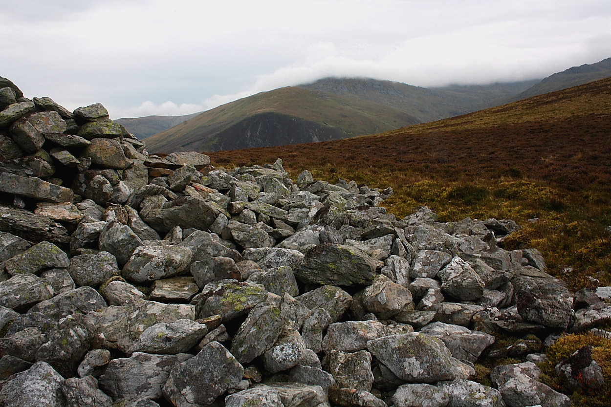
The massive stone pile of the southern cairn

The southern monument SH65197071... sprawling, and hollowed out to form a number of sheep shelters – as opposed to muppet shelters (?) – but nonetheless retaining a massive footprint with a suggestion of cist and former kerb stones.
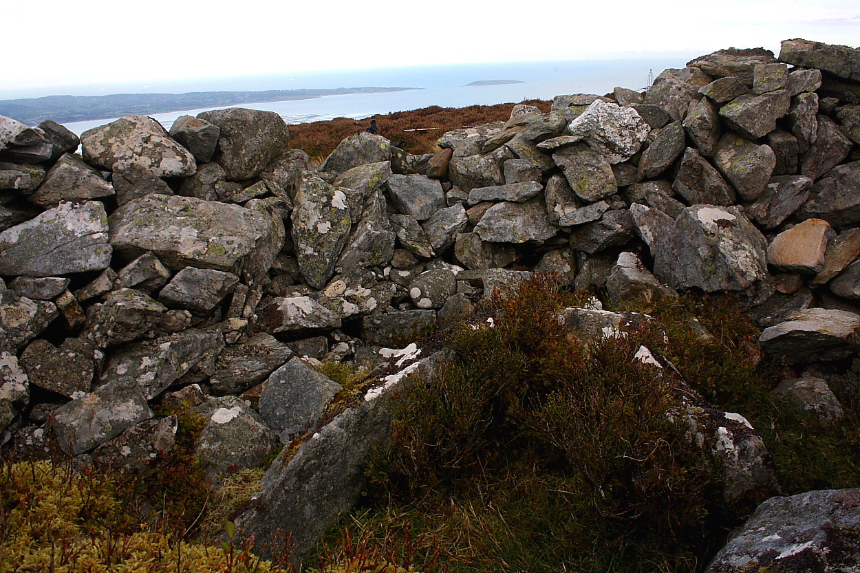
Cist detail... Anglesey, featuring Puffin Island, lies beyond.

Looking across the cist to Drosgl...the grassy bulk of Moel Wnion rises to the right.

The cist... wherever I place my pole, that’s my goal. Don’t thing Paul Young – or Marvin, for that matter – would’ve got away with that.

The north-eastern cairn lies within a shallow col; contrary to appearances, the much larger – albeit shattered – southern monument does not occupy the near summit, instead placed out of shot to left.

The north-eastern cairn... by far the smaller of the two monuments here, but still preserving a cist. The seemingly other-worldly Beras rise to the left of Drosgl, the latter bearing a very fine cairn of its own.

20th July 2011

Looking south west. Moel Wnion rises on the left.

Inside the cairn, walkers sheltering has exposed a cist like chamber.

Looking over the cairn south-east to Aber falls
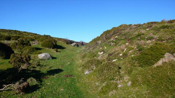
We parked to the west of the cairns on a long farm track close to the Pylons, from there you can see where to go easy enough.
My walking boots gave up trying to repel water months ago, so even though at this point it isnt raining my feet are soaked by the time we get to the top.
The cairns full name is as daft as any Iv’e ever heard, its “Cairn on ridge outcrop known as Cras”
I shortened it to just Cras, so its named after the outcropping which runs WSW-NNE. A small saddle between two such outcrops hides the cairn, the only place it might be visible from is on the hill above Aber falls.
Hill walker, is a name sometimes given to me by people who dont really understand that I’m not just walking but actively looking for something, something that has meaning, for me and for anyone who can look past this all too brief sojourne we call life. Imagine some “hill walkers” at the bottom of the hill the weather is a bit crap and one says to another “looks like rain and the winds getting up”, does the other say “the map says there’s a cairn we can partially demolish to hide from the wind and rain if it comes”.
“Fine, lets go hide from the very thing weve come to experience”
Thats how difficult it is to understand why or how it happens, do they come up in dry weather and do it then for next time, or do they do it in the rain, which would probably take much longer than simply going back down.
Hill walker I am not, but my travels frequently take me up hills and mountains, despite my tirade the walkers did do us one favour, they exposed a chamber within the cairn, could be cist but im unsure weather its technically underground level.
The cist is an elongated polyganol structure, (crap description see pic) definitley an original feature as coflein says so.
The view even in low clouds is almost breathtaking from on top of the outcrop to the east, especially down to Aber falls beyond I could see Carnedd y Saeson and the big enclosure and Maes y gaer hillfort all of which I was at last month, but with much more amenable weather.