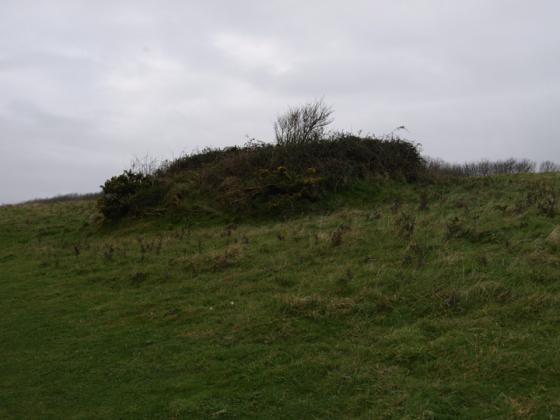
The “pound” from the west.
Image credit: Mike Rowland 14/11/2008.
The “pound” from the west.

A ring shaped probable iron age enclosure.
I don’t know a lot about this site, magic says the only dateable object found was a piece of Iron Age pottery. So I have to assume it’s from that time and is some sort of enclosure / animal pen, whatever it is it’s quite a substantial earthwork. The embankmet is built of chalk and turf and is 2 metres in height. The maximum distance between banks is 14 metres and encloses an area of about 0.6 of a hectare.
Close to several barrows, you can see Hambury Tout, Bindon Hill and Flowers Barrow from here. It’s on the coast path and can be walked to from a free National Trust car park at Ringstead.
Details of enclosure on Pastscape
An enclosure, known as Round Pound, situated on an elevated part of Chaldon Down. The Round Pound was recorded by the Royal Commission on the Historical Monuments of England in 1970. It is defined by a bank composed of chalk and earth, with maximum dimensions of 14 metres in width and about 1.5 metres in height. The bank is surrounded by a ditch from which material was quarried during the construction of the monument. The ditch has become infilled over the years, but is known to survive as a buried feature 7.5 metres wide. The only identifiable entrance is situated to the south of the eastern corner and includes a gap 3 metres wide. The bank and ditch enclose a slightly dished area, sub-square in plan which covers about 0.6 hectares. The interior of the enclosure is higher than the surrounding ground. The only dating evidence from the site is a sherd of Iron Age pottery with finger tip decoration. This was recovered from the western corner of the enclosure bank by RCHME staff during survey work. Scheduled.